Property Record
137 Bokum Rd, Old Saybrook, CT 06475

NEARBY LISTINGS FOR SALE OR LEASE
Property Detail
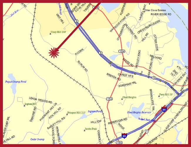
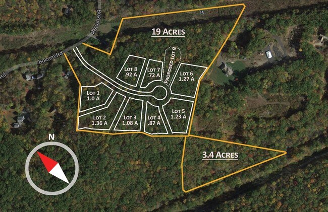
137 Bokum Rd
OSAY-000061-000006
Middlesex
Residentialacreage
Connecticut
X
1.50 AC
09011C0435G
SW Midlsx/Old Saybrk/Rt 9
2025
Hartford
2025
Hartford-West Hartford-East Hartford, CT
670100
DEMOGRAPHICS near 137 Bokum Rd
1 Mile
3 Mile
5 Mile
2024 Total Population
703
13,068
31,981
2029 Population
707
13,108
32,422
Pop Growth 2024-2029
+ 0.57%
+ 0.31%
+ 1.38%
Average Age
49
49
49
2024 Total Households
292
5,629
14,236
HH Growth 2024-2029
+ 0.68%
+ 0.28%
+ 1.43%
Median Household Inc
$121,195
$96,634
$98,850
Avg Household Size
2.20
2.20
2.20
2024 Avg HH Vehicles
2.00
2.00
2.00
Median Home Value
$519,911
$431,812
$415,616
Median Year Built
1979
1973
1969
Nearby Places
Map Layers
Map Styles
 Street
 Aerial
- Restaurants
- Banks
- Shops
- Fitness
- Groceries
PUBLIC TRANSPORTATION
COMMUTER RAIL
Old Saybrook (Shore Line East - Shore Line East)
DRIVE
WALK
Distance
Old Saybrook (Shore Line East - Shore Line East)
6 min
2.8 mi
Westbrook (Shore Line East - Shore Line East)
DRIVE
WALK
Distance
Westbrook (Shore Line East - Shore Line East)
10 min
5.9 mi
AIRPORT
Tweed/New Haven
DRIVE
WALK
Distance
Tweed/New Haven
40 min
29.7 mi
Freight Ports
Port of New Haven
DRIVE
WALK
Distance
Port of New Haven
40 min
30.3 mi
SALE & LEASE HISTORY
LISTING DATE
SALE/LEASE

Aug 23, 2017
For Sale
Nearby Properties
Address
Land Use
TOTAL SIZE
Lot Size
Zoning
Address
Land Use
TOTAL SIZE
Lot Size
Zoning
10.78 AC
B-2
Address
Land Use
TOTAL SIZE
Lot Size
Zoning
108.89 AC
RLC
Address
Land Use
TOTAL SIZE
Lot Size
Zoning
35.40 AC
B-2
Address
Land Use
TOTAL SIZE
Lot Size
Zoning
39.32 AC
LI/LDR
Address
Land Use
TOTAL SIZE
Lot Size
Zoning
40,942 SF
7.45 AC
A
Address
Land Use
TOTAL SIZE
Lot Size
Zoning
20.17 AC
A
Address
Land Use
TOTAL SIZE
Lot Size
Zoning
14.78 AC
B-4
Address
Land Use
TOTAL SIZE
Lot Size
Zoning
101,587 SF
34.34 AC
A
Address
Land Use
TOTAL SIZE
Lot Size
Zoning
14.25 AC
A
Address
Land Use
TOTAL SIZE
Lot Size
Zoning
189,678 SF
44.72 AC
LI
Address
Land Use
TOTAL SIZE
Lot Size
Zoning
14.98 AC
VR
Address
Land Use
TOTAL SIZE
Lot Size
Zoning
72,128 SF
22.08 AC
I-1
Address
Land Use
TOTAL SIZE
Lot Size
Zoning
10.80 AC
I-1
Address
Land Use
TOTAL SIZE
Lot Size
Zoning
17,833 SF
3.87 AC
A
Address
Land Use
TOTAL SIZE
Lot Size
Zoning
7.36 AC
B1
Address
Land Use
TOTAL SIZE
Lot Size
Zoning
25,144 SF
3.74 AC
B-4
Address
Land Use
TOTAL SIZE
Lot Size
Zoning
24,360 SF
7.78 AC
B-2
Address
Land Use
TOTAL SIZE
Lot Size
Zoning
64,427 SF
1.46 AC
Address
Land Use
TOTAL SIZE
Lot Size
Zoning
291,816 SF
29.64 AC
I-1
Address
Land Use
TOTAL SIZE
Lot Size
Zoning
52,960 SF
32 AC
AA1
Address
Land Use
TOTAL SIZE
Lot Size
Zoning
55,250 SF
4.41 AC
B-4
Address
Land Use
TOTAL SIZE
Lot Size
Zoning
120,144 SF
17.10 AC
RLM
Address
Land Use
TOTAL SIZE
Lot Size
Zoning
13.80 AC
RU80
Address
Land Use
TOTAL SIZE
Lot Size
Zoning
5.10 AC
AA-3
Address
Land Use
TOTAL SIZE
Lot Size
Zoning
8.44 AC
B-2
Address
Land Use
TOTAL SIZE
Lot Size
Zoning
22,970 SF
1.25 AC
A
Address
Land Use
TOTAL SIZE
Lot Size
Zoning
12.25 AC
MC
Address
Land Use
TOTAL SIZE
Lot Size
Zoning
1.48 AC
MC
Address
Land Use
TOTAL SIZE
Lot Size
Zoning
13,380 SF
3.27 AC
B-4
Address
Land Use
TOTAL SIZE
Lot Size
Zoning
5,713 SF
5.21 AC
RU80
The World's #1 Commercial Real Estate Marketplace
Connect with us
© 2025 CoStar Group
The information above has been obtained from sources believed reliable. While we do not doubt its accuracy we have not verified it and make no guarantee, warranty or representation about it. It is your responsibility to independently confirm its accuracy and completeness. Any projections, opinions, assumptions, or estimates used are for example only and do not represent the current or future performance of the property. The value of this transaction to you depends on tax and other factors which should be evaluated by your tax, financial, and legal advisors. You and your advisors should conduct a careful, independent investigation of the property to determine to your satisfaction the suitability of the property for your needs.