Property Record
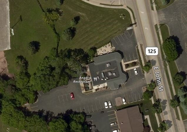
1401 E John St, Appleton, WI 54915


Property Detail
1401 E John St
31-4-0824-00
EDW WESTS PLAT 4WD COM INTERS N/L E SOUTH RIVER & W/L JOHN STS N14D WEST ALG W/L JOHN ST 282.78FT TO BEG NWLY 180FT SWLY 386.40 FT SELY 88FT NELY 284.56FT TO BEG BLK 52 PRT OF BLK 52 913R591
Commercialnec
Outagamie
C2
Wisconsin
B and X Area of moderate flood hazard, usually the area between the limits of the 100-year and 500-year floods.
0.92 AC
2023
Outagamie County
2023
Green Bay
010700
Appleton, WI
4,926 SF
NEARBY LISTINGS FOR SALE OR LEASE
DEMOGRAPHICS near 1401 E John St
1 mile
3 mile
5 mile
2025 Total Population
14,046
90,582
165,069
2030 Population
14,598
92,460
168,502
Pop Growth 2025-2030
+ 3.93%
+ 2.07%
+ 2.08%
Average Age
38
40
40
2025 Total Households
5,716
37,341
67,981
HH Growth 2025-2030
+ 4.93%
+ 2.24%
+ 2.14%
Median Household Inc
$78,602
$75,213
$79,734
Avg Household Size
2.20
2.30
2.30
2025 Avg HH Vehicles
2.00
2.00
2.00
Median Home Value
$229,094
$233,551
$252,583
Median Year Built
1967
1972
1979
Nearby Places
Map Layers
Map Styles
 Street
 Aerial
Transit
 Traffic
 Biking
Places
Listings with unknown addresses are not visible on the map
- Restaurants
- Banks
- Shops
- Fitness
- Groceries
PUBLIC TRANSPORTATION
AIRPORT
Appleton International
Drive
Walk
Distance
Appleton International
18 min
9.0 mi
Green Bay/Austin Straubel International
Drive
Walk
Distance
Green Bay/Austin Straubel International
35 min
26.3 mi
Freight Ports
Port Milwaukee
Drive
Walk
Distance
Port Milwaukee
130 min
110.2 mi
SALE & LEASE HISTORY
LISTING DATE
SALE/LEASE

Jan 13, 2017
For Sale
Nearby Properties
Address
Land Use
TOTAL SIZE
Lot Size
Zoning
Address
Land Use
TOTAL SIZE
Lot Size
Zoning
154,889 SF
1 AC
C2
Address
Land Use
TOTAL SIZE
Lot Size
Zoning
211,780 SF
23.01 AC
PDR3
Address
Land Use
TOTAL SIZE
Lot Size
Zoning
3.42 AC
PDC2
Address
Land Use
TOTAL SIZE
Lot Size
Zoning
309,785 SF
20.13 AC
R3
Address
Land Use
TOTAL SIZE
Lot Size
Zoning
84,620 SF
92.18 AC
C2
Address
Land Use
TOTAL SIZE
Lot Size
Zoning
20.37 AC
PDC2
Address
Land Use
TOTAL SIZE
Lot Size
Zoning
249,600 SF
11.88 AC
M1
Address
Land Use
TOTAL SIZE
Lot Size
Zoning
100,105 SF
12.62 AC
C2
Address
Land Use
TOTAL SIZE
Lot Size
Zoning
17.51 AC
Address
Land Use
TOTAL SIZE
Lot Size
Zoning
29,742 SF
5.95 AC
R3
Address
Land Use
TOTAL SIZE
Lot Size
Zoning
6.02 AC
Address
Land Use
TOTAL SIZE
Lot Size
Zoning
218,400 SF
12.39 AC
M1
Address
Land Use
TOTAL SIZE
Lot Size
Zoning
232,800 SF
16.62 AC
Address
Land Use
TOTAL SIZE
Lot Size
Zoning
Address
Land Use
TOTAL SIZE
Lot Size
Zoning
247,520 SF
13.68 AC
M1
Address
Land Use
TOTAL SIZE
Lot Size
Zoning
37,430 SF
7.32 AC
M1
Address
Land Use
TOTAL SIZE
Lot Size
Zoning
12.49 AC
Address
Land Use
TOTAL SIZE
Lot Size
Zoning
Address
Land Use
TOTAL SIZE
Lot Size
Zoning
53,321 SF
2.51 AC
CBD
Address
Land Use
TOTAL SIZE
Lot Size
Zoning
200,880 SF
14.60 AC
M1
Address
Land Use
TOTAL SIZE
Lot Size
Zoning
209,059 SF
18.40 AC
PDC2
Address
Land Use
TOTAL SIZE
Lot Size
Zoning
44,164 SF
0.62 AC
CBD
Address
Land Use
TOTAL SIZE
Lot Size
Zoning
17.43 AC
M2
Address
Land Use
TOTAL SIZE
Lot Size
Zoning
107,202 SF
39.98 AC
C2
Address
Land Use
TOTAL SIZE
Lot Size
Zoning
59,010 SF
13.09 AC
Address
Land Use
TOTAL SIZE
Lot Size
Zoning
5.10 AC
Address
Land Use
TOTAL SIZE
Lot Size
Zoning
108,328 SF
8.93 AC
R3
Address
Land Use
TOTAL SIZE
Lot Size
Zoning
20.22 AC
M1
Address
Land Use
TOTAL SIZE
Lot Size
Zoning
5,394 SF
0.30 AC
CBD
Address
Land Use
TOTAL SIZE
Lot Size
Zoning
62,673 SF
3.19 AC
PDC2
The World's #1 Commercial Real Estate Marketplace
Connect with us
© 2026 CoStar Group
The information above has been obtained from sources believed reliable. While we do not doubt its accuracy we have not verified it and make no guarantee, warranty or representation about it. It is your responsibility to independently confirm its accuracy and completeness. Any projections, opinions, assumptions, or estimates used are for example only and do not represent the current or future performance of the property. The value of this transaction to you depends on tax and other factors which should be evaluated by your tax, financial, and legal advisors. You and your advisors should conduct a careful, independent investigation of the property to determine to your satisfaction the suitability of the property for your needs.