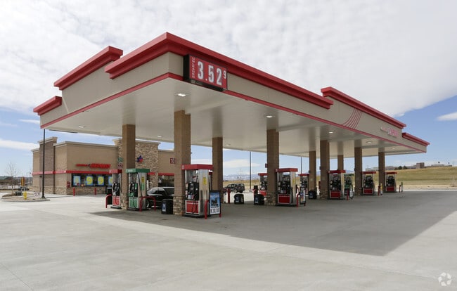
Property Record
14375 Lincoln St, Thornton, CO 80023
Property Detail
14375 Lincoln St
Denver-Aurora-Centennial, CO
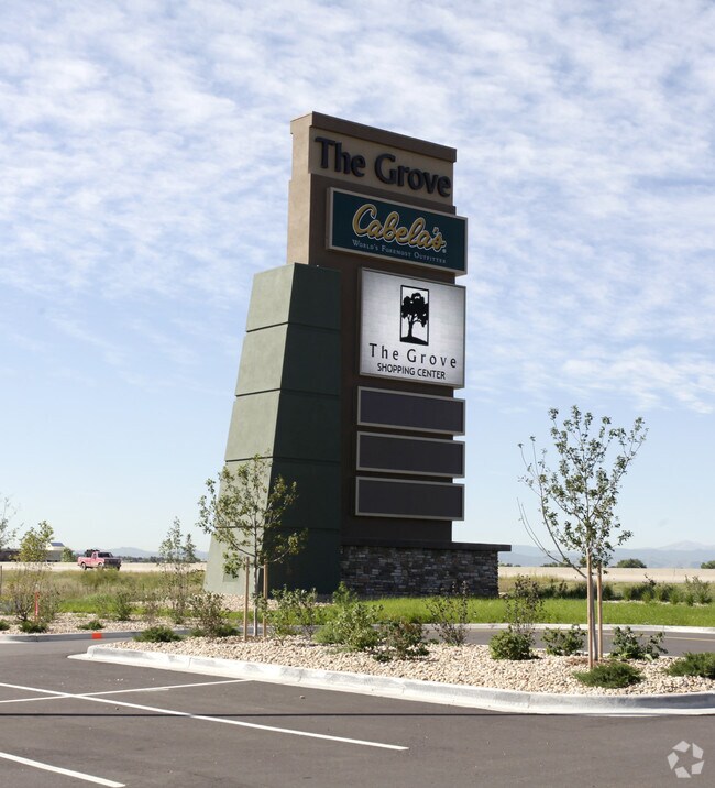
THE GROVE SUBD FLG NO 1 AMND NO 2 BLK 1 LOT 7
1573-22-1-01-035
Broomfield
Storebuilding
Colorado
B and X Area of moderate flood hazard, usually the area between the limits of the 100-year and 500-year floods.
7
2024
1.89 AC
2025
Northeast
0085232307
Denver
3,433 SF
NEARBY LISTINGS FOR SALE OR LEASE
DEMOGRAPHICS near 14375 Lincoln St
1 mile
3 mile
5 mile
2024 Total Population
4,280
65,293
202,712
2029 Population
4,582
68,498
213,747
Pop Growth 2024-2029
+ 7.06%
+ 4.91%
+ 5.44%
Average Age
35
37
38
2024 Total Households
2,046
23,432
73,458
HH Growth 2024-2029
+ 8.06%
+ 5.01%
+ 5.47%
Median Household Inc
$81,355
$106,275
$105,163
Avg Household Size
2.10
2.70
2.70
2024 Avg HH Vehicles
2.00
2.00
2.00
Median Home Value
$715,568
$570,303
$504,711
Median Year Built
2010
2000
1997
Nearby Places
Map Layers
Map Styles
 Street
 Aerial
Transit
 Traffic
 Biking
Places
Listings with unknown addresses are not visible on the map
- Restaurants
- Banks
- Shops
- Fitness
- Groceries
PUBLIC TRANSPORTATION
COMMUTER RAIL
Eastlake - 124Th Station Track 2 (Union Station to Eastlake & 124th Station - Regional Transportation District)
Drive
Walk
Distance
Eastlake - 124Th Station Track 2 (Union Station to Eastlake & 124th Station - Regional Transportation District)
8 min
3.9 mi
Northglenn - 112Th Station Track 2 (Union Station to Eastlake & 124th Station - Regional Transportation District)
Drive
Walk
Distance
Northglenn - 112Th Station Track 2 (Union Station to Eastlake & 124th Station - Regional Transportation District)
11 min
5.7 mi
AIRPORT
Denver International
Drive
Walk
Distance
Denver International
30 min
25.3 mi
Freight Ports
Tulsa Port Of Catoosa
Drive
Walk
Distance
Tulsa Port Of Catoosa
737 min
719.4 mi
Nearby Properties
Address
Land Use
TOTAL SIZE
Lot Size
Zoning
Address
Land Use
TOTAL SIZE
Lot Size
Zoning
385,623 SF
32.77 AC
Address
Land Use
TOTAL SIZE
Lot Size
Zoning
355,866 SF
16.17 AC
Address
Land Use
TOTAL SIZE
Lot Size
Zoning
538,595 SF
87.92 AC
Address
Land Use
TOTAL SIZE
Lot Size
Zoning
712,276 SF
72.16 AC
Address
Land Use
TOTAL SIZE
Lot Size
Zoning
869,000 SF
61.97 AC
Address
Land Use
TOTAL SIZE
Lot Size
Zoning
190,387 SF
106.32 AC
PUD
Address
Land Use
TOTAL SIZE
Lot Size
Zoning
424,498 SF
42.85 AC
Address
Land Use
TOTAL SIZE
Lot Size
Zoning
271,772 SF
21.57 AC
Address
Land Use
TOTAL SIZE
Lot Size
Zoning
202,491 SF
52.56 AC
PUD
Address
Land Use
TOTAL SIZE
Lot Size
Zoning
78,238 SF
181.60 AC
OLPF
Address
Land Use
TOTAL SIZE
Lot Size
Zoning
506,255 SF
19.10 AC
Address
Land Use
TOTAL SIZE
Lot Size
Zoning
244,459 SF
50.30 AC
Address
Land Use
TOTAL SIZE
Lot Size
Zoning
251,374 SF
20.95 AC
B-1
Address
Land Use
TOTAL SIZE
Lot Size
Zoning
1 SF
13.55 AC
Address
Land Use
TOTAL SIZE
Lot Size
Zoning
428,341 SF
22.35 AC
Address
Land Use
TOTAL SIZE
Lot Size
Zoning
547,908 SF
12.24 AC
Address
Land Use
TOTAL SIZE
Lot Size
Zoning
149,769 SF
20.71 AC
Address
Land Use
TOTAL SIZE
Lot Size
Zoning
74,610 SF
1.56 AC
Address
Land Use
TOTAL SIZE
Lot Size
Zoning
150,494 SF
19.69 AC
PUDP
Address
Land Use
TOTAL SIZE
Lot Size
Zoning
325,764 SF
18.76 AC
Address
Land Use
TOTAL SIZE
Lot Size
Zoning
253,459 SF
34.63 AC
Address
Land Use
TOTAL SIZE
Lot Size
Zoning
162,240 SF
14.41 AC
Address
Land Use
TOTAL SIZE
Lot Size
Zoning
176,000 SF
12.03 AC
Address
Land Use
TOTAL SIZE
Lot Size
Zoning
120,471 SF
8.39 AC
Address
Land Use
TOTAL SIZE
Lot Size
Zoning
347,976 SF
11.91 AC
Address
Land Use
TOTAL SIZE
Lot Size
Zoning
290,841 SF
12.97 AC
Address
Land Use
TOTAL SIZE
Lot Size
Zoning
297,895 SF
6.77 AC
Address
Land Use
TOTAL SIZE
Lot Size
Zoning
235,690 SF
24.97 AC
Address
Land Use
TOTAL SIZE
Lot Size
Zoning
146,300 SF
9 AC
Address
Land Use
TOTAL SIZE
Lot Size
Zoning
309,520 SF
10.84 AC
The World's #1 Commercial Real Estate Marketplace
Connect with us
© 2026 CoStar Group
The information above has been obtained from sources believed reliable. While we do not doubt its accuracy we have not verified it and make no guarantee, warranty or representation about it. It is your responsibility to independently confirm its accuracy and completeness. Any projections, opinions, assumptions, or estimates used are for example only and do not represent the current or future performance of the property. The value of this transaction to you depends on tax and other factors which should be evaluated by your tax, financial, and legal advisors. You and your advisors should conduct a careful, independent investigation of the property to determine to your satisfaction the suitability of the property for your needs.