Property Record
1509 Batson Dr, Waco, TX 76710
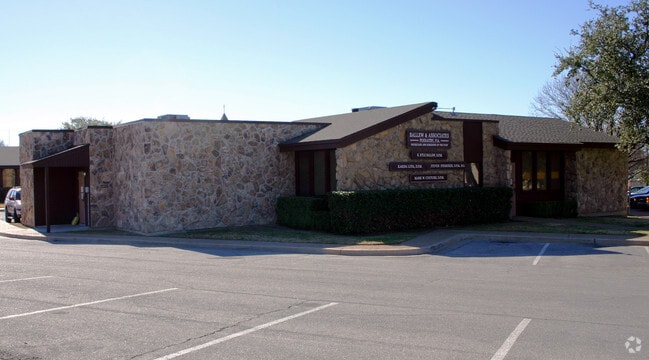
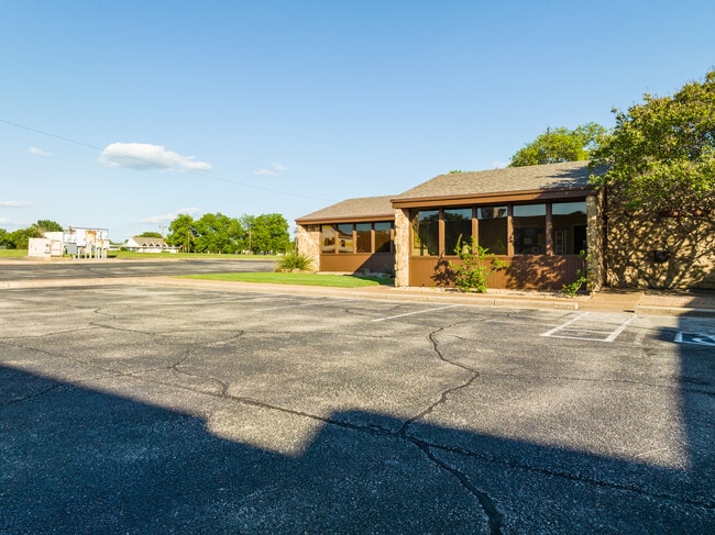
This Property Is For Sale
Property Detail
1509 Batson Dr
Waco, TX
BATSON J E LOT 6A BLOCK 3 ACRES .1807
48-002701-001900-4
MCLENNAN
Commercialnec
Texas
R-1B
6a
B and X Area of moderate flood hazard, usually the area between the limits of the 100-year and 500-year floods.
0.21 AC
0
Waco
2025
Other Market Areas
002498
NEARBY LISTINGS FOR SALE OR LEASE
DEMOGRAPHICS near 1509 Batson Dr
1 mile
3 mile
5 mile
2025 Total Population
8,920
50,313
122,212
2030 Population
9,103
51,604
126,164
Pop Growth 2025-2030
+ 2.05%
+ 2.57%
+ 3.23%
Average Age
40
39
37
2025 Total Households
3,890
20,065
47,508
HH Growth 2025-2030
+ 2.03%
+ 2.55%
+ 3.22%
Median Household Inc
$59,336
$58,954
$56,171
Avg Household Size
2.20
2.40
2.40
2025 Avg HH Vehicles
2.00
2.00
2.00
Median Home Value
$252,858
$255,661
$235,241
Median Year Built
1969
1968
1974
Nearby Places
Map Layers
Map Styles
 Street
 Aerial
Transit
 Traffic
 Biking
Places
Listings with unknown addresses are not visible on the map
- Restaurants
- Banks
- Shops
- Fitness
- Groceries
PUBLIC TRANSPORTATION
AIRPORT
Waco Regional
Drive
Walk
Distance
Waco Regional
21 min
8.4 mi
Freight Ports
Port of Houston
Drive
Walk
Distance
Port of Houston
221 min
192.4 mi
Nearby Properties
Address
Land Use
TOTAL SIZE
Lot Size
Zoning
Address
Land Use
TOTAL SIZE
Lot Size
Zoning
Address
Land Use
TOTAL SIZE
Lot Size
Zoning
693,933 SF
57.98 AC
M2
Address
Land Use
TOTAL SIZE
Lot Size
Zoning
106.92 AC
Address
Land Use
TOTAL SIZE
Lot Size
Zoning
452,498 SF
39.43 AC
C-2
Address
Land Use
TOTAL SIZE
Lot Size
Zoning
Address
Land Use
TOTAL SIZE
Lot Size
Zoning
462,987 SF
36.18 AC
C-3
Address
Land Use
TOTAL SIZE
Lot Size
Zoning
16,678 SF
19.91 AC
C3
Address
Land Use
TOTAL SIZE
Lot Size
Zoning
Address
Land Use
TOTAL SIZE
Lot Size
Zoning
405,640 SF
64.46 AC
Address
Land Use
TOTAL SIZE
Lot Size
Zoning
231,717 SF
21.97 AC
O2
Address
Land Use
TOTAL SIZE
Lot Size
Zoning
10,334 SF
29.45 AC
R1B
Address
Land Use
TOTAL SIZE
Lot Size
Zoning
27,245 SF
130.84 AC
R1B
Address
Land Use
TOTAL SIZE
Lot Size
Zoning
108,428 SF
9.27 AC
CS
Address
Land Use
TOTAL SIZE
Lot Size
Zoning
211,432 SF
13.86 AC
O2
Address
Land Use
TOTAL SIZE
Lot Size
Zoning
Address
Land Use
TOTAL SIZE
Lot Size
Zoning
186,924 SF
9.14 AC
O-2
Address
Land Use
TOTAL SIZE
Lot Size
Zoning
181,423 SF
16.03 AC
R1B
Address
Land Use
TOTAL SIZE
Lot Size
Zoning
60,536 SF
0.93 AC
Address
Land Use
TOTAL SIZE
Lot Size
Zoning
223,307 SF
27.28 AC
O-2,
Address
Land Use
TOTAL SIZE
Lot Size
Zoning
225,762 SF
29.30 AC
C3
Address
Land Use
TOTAL SIZE
Lot Size
Zoning
167,206 SF
11.22 AC
R-3C
Address
Land Use
TOTAL SIZE
Lot Size
Zoning
238,580 SF
12.25 AC
R-3E
Address
Land Use
TOTAL SIZE
Lot Size
Zoning
228,638 SF
14.56 AC
O-2
Address
Land Use
TOTAL SIZE
Lot Size
Zoning
146,635 SF
8.36 AC
R-3E
Address
Land Use
TOTAL SIZE
Lot Size
Zoning
80,890 SF
13.08 AC
O1
Address
Land Use
TOTAL SIZE
Lot Size
Zoning
69,600 SF
2 AC
Address
Land Use
TOTAL SIZE
Lot Size
Zoning
198,670 SF
10.24 AC
M1
Address
Land Use
TOTAL SIZE
Lot Size
Zoning
8,967 SF
174.04 AC
R1B
Address
Land Use
TOTAL SIZE
Lot Size
Zoning
169,278 SF
19.14 AC
R1
Address
Land Use
TOTAL SIZE
Lot Size
Zoning
10.26 AC
C2
The World's #1 Commercial Real Estate Marketplace
Connect with us
© 2026 CoStar Group
The information above has been obtained from sources believed reliable. While we do not doubt its accuracy we have not verified it and make no guarantee, warranty or representation about it. It is your responsibility to independently confirm its accuracy and completeness. Any projections, opinions, assumptions, or estimates used are for example only and do not represent the current or future performance of the property. The value of this transaction to you depends on tax and other factors which should be evaluated by your tax, financial, and legal advisors. You and your advisors should conduct a careful, independent investigation of the property to determine to your satisfaction the suitability of the property for your needs.