Property Record
1524 W Morse Ave, Chicago, IL 60626
NEARBY LISTINGS FOR SALE OR LEASE
Property Detail
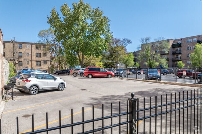
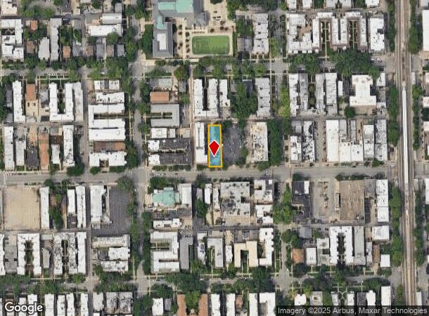
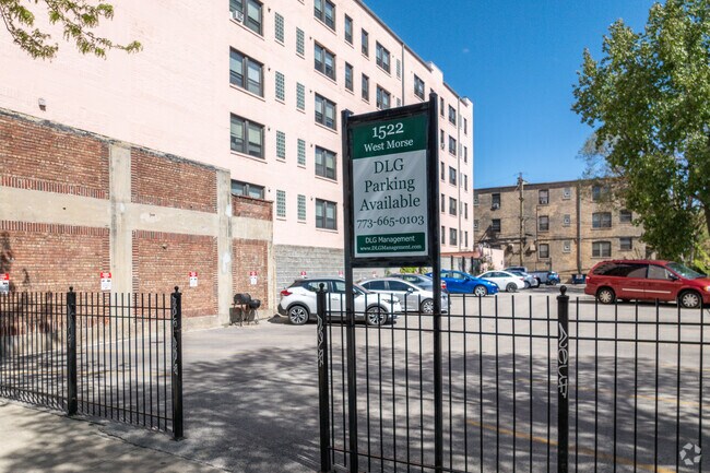
1524 W Morse Ave
Chicago-Naperville-Elgin, IL-IN-WI
Rogers Park
11-32-112-014-0000
(ROGERS)(PARK) SUB NE & PT NW E OF RIDGE RD SEC31 & W H NW SEC32 & ALL SEC30 S I.B.L. SEC 30-41-14
Commercialnec
Cook
X
Illinois
17031C0268K
15
2023
0.20 AC
2024
Northwest City
010600
Chicago
3,300 SF
DEMOGRAPHICS near 1524 W Morse Ave
1 Mile
3 Mile
5 Mile
2024 Total Population
71,974
309,441
659,149
2029 Population
69,965
300,380
637,751
Pop Growth 2024-2029
(2.79%)
(2.93%)
(3.25%)
Average Age
38
40
39
2024 Total Households
32,469
138,461
287,112
HH Growth 2024-2029
(3.06%)
(3.14%)
(3.46%)
Median Household Inc
$52,574
$64,057
$75,718
Avg Household Size
2.00
2.10
2.20
2024 Avg HH Vehicles
1.00
1.00
1.00
Median Home Value
$273,445
$348,470
$395,580
Median Year Built
1948
1949
1949
Nearby Places
- Restaurants
- Banks
- Shops
- Fitness
- Groceries
PUBLIC TRANSPORTATION
TRANSIT/SUBWAY
Morse Station (Red Line - Chicago Transit Authority "L" Trains (The "L"))
DRIVE
WALK
Distance
Morse Station (Red Line - Chicago Transit Authority "L" Trains (The "L"))
1 min
5 min
0.3 mi
Jarvis Station (Red Line - Chicago Transit Authority "L" Trains (The "L"))
DRIVE
WALK
Distance
Jarvis Station (Red Line - Chicago Transit Authority "L" Trains (The "L"))
2 min
12 min
0.6 mi
Loyola Station (Red Line - Chicago Transit Authority "L" Trains (The "L"))
DRIVE
WALK
Distance
Loyola Station (Red Line - Chicago Transit Authority "L" Trains (The "L"))
3 min
15 min
0.8 mi
Howard Terminal (Purple Line - Chicago Transit Authority "L" Trains (The "L"), Red Line - Chicago Transit Authority "L" Trains (The "L"), Yellow Line - Chicago Transit Authority "L" Trains (The "L"))
DRIVE
WALK
Distance
Howard Terminal (Purple Line - Chicago Transit Authority "L" Trains (The "L"), Red Line - Chicago Transit Authority "L" Trains (The "L"), Yellow Line - Chicago Transit Authority "L" Trains (The "L"))
3 min
20 min
1.0 mi
COMMUTER RAIL
Rogers Park Station (Union Pacific North Line - Northeast Illinois Regional Commuter Railroad (Metra))
DRIVE
WALK
Distance
Rogers Park Station (Union Pacific North Line - Northeast Illinois Regional Commuter Railroad (Metra))
2 min
9 min
0.5 mi
Peterson/Ridge (Union Pacific North - Metra)
DRIVE
WALK
Distance
Peterson/Ridge (Union Pacific North - Metra)
4 min
1.8 mi
AIRPORT
Chicago O'Hare International
DRIVE
WALK
Distance
Chicago O'Hare International
27 min
14.8 mi
Chicago Midway International
DRIVE
WALK
Distance
Chicago Midway International
32 min
21.8 mi
Freight Ports
Port Milwaukee
DRIVE
WALK
Distance
Port Milwaukee
97 min
76.8 mi
Nearby Properties
Address
Land Use
TOTAL SIZE
Lot Size
Zoning
Address
Land Use
TOTAL SIZE
Lot Size
Zoning
0.63 AC
PD 1372
Address
Land Use
TOTAL SIZE
Lot Size
Zoning
180,397 SF
0.78 AC
Address
Land Use
TOTAL SIZE
Lot Size
Zoning
0.63 AC
Address
Land Use
TOTAL SIZE
Lot Size
Zoning
341,698 SF
0.64 AC
Address
Land Use
TOTAL SIZE
Lot Size
Zoning
1 AC
RS-3
Address
Land Use
TOTAL SIZE
Lot Size
Zoning
305,592 SF
27.35 AC
Address
Land Use
TOTAL SIZE
Lot Size
Zoning
82,139 SF
4.88 AC
Address
Land Use
TOTAL SIZE
Lot Size
Zoning
892,012 SF
37.29 AC
Address
Land Use
TOTAL SIZE
Lot Size
Zoning
147,835 SF
1.03 AC
PD 37
Address
Land Use
TOTAL SIZE
Lot Size
Zoning
2.10 AC
Address
Land Use
TOTAL SIZE
Lot Size
Zoning
201,600 SF
1.93 AC
PD 92
Address
Land Use
TOTAL SIZE
Lot Size
Zoning
218,982 SF
1.97 AC
Address
Land Use
TOTAL SIZE
Lot Size
Zoning
303,960 SF
0.98 AC
Address
Land Use
TOTAL SIZE
Lot Size
Zoning
226,345 SF
3.71 AC
PD 1203
Address
Land Use
TOTAL SIZE
Lot Size
Zoning
251,409 SF
16.33 AC
Address
Land Use
TOTAL SIZE
Lot Size
Zoning
176,115 SF
1.04 AC
Address
Land Use
TOTAL SIZE
Lot Size
Zoning
110,528 SF
3.05 AC
Address
Land Use
TOTAL SIZE
Lot Size
Zoning
1.67 AC
Address
Land Use
TOTAL SIZE
Lot Size
Zoning
32,200 SF
5.67 AC
B3-5,RM-6.
Address
Land Use
TOTAL SIZE
Lot Size
Zoning
63,700 SF
7.42 AC
PD 796
Address
Land Use
TOTAL SIZE
Lot Size
Zoning
243,781 SF
0.84 AC
Address
Land Use
TOTAL SIZE
Lot Size
Zoning
24,400 SF
0.50 AC
B3-2
Address
Land Use
TOTAL SIZE
Lot Size
Zoning
1.01 AC
RM-6,POS-1
Address
Land Use
TOTAL SIZE
Lot Size
Zoning
0.30 AC
Address
Land Use
TOTAL SIZE
Lot Size
Zoning
0.16 AC
RM-6
Address
Land Use
TOTAL SIZE
Lot Size
Zoning
208,785 SF
0.61 AC
Address
Land Use
TOTAL SIZE
Lot Size
Zoning
Address
Land Use
TOTAL SIZE
Lot Size
Zoning
0.38 AC
Address
Land Use
TOTAL SIZE
Lot Size
Zoning
145,031 SF
1.90 AC
PD 372
Address
Land Use
TOTAL SIZE
Lot Size
Zoning
223,366 SF
0.65 AC
The World's #1 Commercial Real Estate Marketplace
Connect with us
© 2025 CoStar Group
The information above has been obtained from sources believed reliable. While we do not doubt its accuracy we have not verified it and make no guarantee, warranty or representation about it. It is your responsibility to independently confirm its accuracy and completeness. Any projections, opinions, assumptions, or estimates used are for example only and do not represent the current or future performance of the property. The value of this transaction to you depends on tax and other factors which should be evaluated by your tax, financial, and legal advisors. You and your advisors should conduct a careful, independent investigation of the property to determine to your satisfaction the suitability of the property for your needs.