Property Record
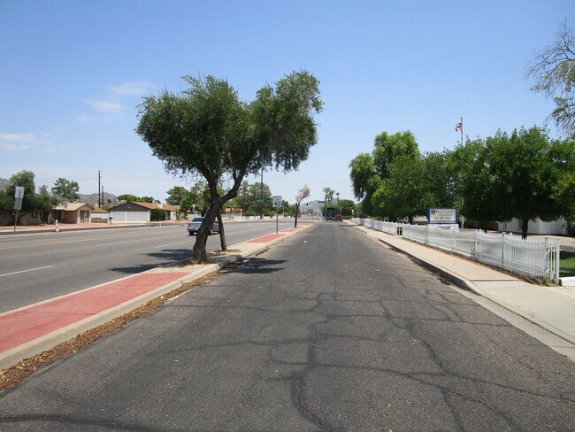
1535 W Dunlap Ave, Phoenix, AZ 85021

Property Detail
1535 W Dunlap Ave
158-22-097
MANSFIELD MANOR MCR 84/11
Privateschool
MARICOPA
R-10
Arizona
C and X Area of minimal flood hazard, usually depicted on FIRMs as above the 500-year flood level.
2
2025
0.97 AC
2025
Northwest Phoenix
105400
Phoenix
4,147 SF
Phoenix-Mesa-Chandler, AZ
NEARBY LISTINGS FOR SALE OR LEASE
DEMOGRAPHICS near 1535 W Dunlap Ave
1 mile
3 mile
5 mile
2025 Total Population
22,285
160,173
446,032
2030 Population
23,189
166,079
462,886
Pop Growth 2025-2030
+ 4.06%
+ 3.69%
+ 3.78%
Average Age
36
38
38
2025 Total Households
8,815
63,669
171,497
HH Growth 2025-2030
+ 4.15%
+ 3.84%
+ 4.09%
Median Household Inc
$57,090
$63,938
$68,399
Avg Household Size
2.40
2.40
2.50
2025 Avg HH Vehicles
1.00
2.00
2.00
Median Home Value
$400,725
$416,487
$418,262
Median Year Built
1980
1975
1976
Nearby Places
Map Layers
Map Styles
 Street
 Aerial
Transit
 Traffic
 Biking
Places
Listings with unknown addresses are not visible on the map
- Restaurants
- Banks
- Shops
- Fitness
- Groceries
PUBLIC TRANSPORTATION
AIRPORT
Phoenix Sky Harbor International
Drive
Walk
Distance
Phoenix Sky Harbor International
25 min
14.4 mi
Phoenix-Mesa Gateway
Drive
Walk
Distance
Phoenix-Mesa Gateway
59 min
41.5 mi
SALE & LEASE HISTORY
LISTING DATE
SALE/LEASE

Jul 26, 2024
For Sale
Dec 12, 2024
For Sale
Nearby Properties
Address
Land Use
TOTAL SIZE
Lot Size
Zoning
Address
Land Use
TOTAL SIZE
Lot Size
Zoning
98,760 SF
6.76 AC
A-1
Address
Land Use
TOTAL SIZE
Lot Size
Zoning
3.58 AC
Address
Land Use
TOTAL SIZE
Lot Size
Zoning
19,474 SF
8.43 AC
C-3
Address
Land Use
TOTAL SIZE
Lot Size
Zoning
558,361 SF
14.61 AC
C-2
Address
Land Use
TOTAL SIZE
Lot Size
Zoning
367,399 SF
14.88 AC
C-1
Address
Land Use
TOTAL SIZE
Lot Size
Zoning
515,418 SF
19.72 AC
R-3
Address
Land Use
TOTAL SIZE
Lot Size
Zoning
3,241 SF
2.13 AC
C-N
Address
Land Use
TOTAL SIZE
Lot Size
Zoning
474,952 SF
13.68 AC
C-C
Address
Land Use
TOTAL SIZE
Lot Size
Zoning
74,376 SF
2.12 AC
C-N
Address
Land Use
TOTAL SIZE
Lot Size
Zoning
215,150 SF
13.24 AC
R-3
Address
Land Use
TOTAL SIZE
Lot Size
Zoning
16,284 SF
3.77 AC
M-H
Address
Land Use
TOTAL SIZE
Lot Size
Zoning
452,506 SF
55.11 AC
RH
Address
Land Use
TOTAL SIZE
Lot Size
Zoning
4.43 AC
Address
Land Use
TOTAL SIZE
Lot Size
Zoning
146,867 SF
12.95 AC
CPGCP
Address
Land Use
TOTAL SIZE
Lot Size
Zoning
194,523 SF
37.27 AC
R-6
Address
Land Use
TOTAL SIZE
Lot Size
Zoning
212,227 SF
27.71 AC
R-6
Address
Land Use
TOTAL SIZE
Lot Size
Zoning
584,674 SF
27.83 AC
R-3A
Address
Land Use
TOTAL SIZE
Lot Size
Zoning
349,252 SF
15.11 AC
Address
Land Use
TOTAL SIZE
Lot Size
Zoning
362,729 SF
21.85 AC
Address
Land Use
TOTAL SIZE
Lot Size
Zoning
398,829 SF
11.66 AC
M-H
Address
Land Use
TOTAL SIZE
Lot Size
Zoning
99,714 SF
11.72 AC
R-6
Address
Land Use
TOTAL SIZE
Lot Size
Zoning
533,505 SF
27.69 AC
Address
Land Use
TOTAL SIZE
Lot Size
Zoning
123,370 SF
0.82 AC
C-C
Address
Land Use
TOTAL SIZE
Lot Size
Zoning
154,128 SF
9.32 AC
I-1
Address
Land Use
TOTAL SIZE
Lot Size
Zoning
302,016 SF
28.06 AC
Address
Land Use
TOTAL SIZE
Lot Size
Zoning
231,327 SF
5.46 AC
M-H
Address
Land Use
TOTAL SIZE
Lot Size
Zoning
84,738 SF
8.83 AC
R-6
Address
Land Use
TOTAL SIZE
Lot Size
Zoning
228,072 SF
14.72 AC
C-C
Address
Land Use
TOTAL SIZE
Lot Size
Zoning
122,646 SF
14.69 AC
I-P
Address
Land Use
TOTAL SIZE
Lot Size
Zoning
210,064 SF
8.60 AC
C-T
The World's #1 Commercial Real Estate Marketplace
Connect with us
© 2026 CoStar Group
The information above has been obtained from sources believed reliable. While we do not doubt its accuracy we have not verified it and make no guarantee, warranty or representation about it. It is your responsibility to independently confirm its accuracy and completeness. Any projections, opinions, assumptions, or estimates used are for example only and do not represent the current or future performance of the property. The value of this transaction to you depends on tax and other factors which should be evaluated by your tax, financial, and legal advisors. You and your advisors should conduct a careful, independent investigation of the property to determine to your satisfaction the suitability of the property for your needs.