Property Record
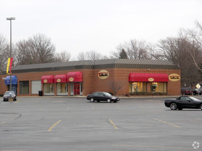
1603 N Alpine Rd, Rockford, IL 61107


NEARBY LISTINGS FOR SALE OR LEASE
Property Detail
1603 N Alpine Rd
12-17-403-034
BEG N LN AUGUSTANA DR & W DELCY DR W 105.43 FT SWLY 229 FT SW 54.98 FT NWLY155.2 FT W 195.4 FT N 41 FT W 70.67 FTNW 37.96 FT N 100.37 FT NW 66.98 FT N
Commercialnec
Winnebago
X
Illinois
17201C0267E
44
2024
8.86 AC
2024
I-39 Corr/Winnebago Cnty
000506
Chicago
123,414 SF
Rockford, IL
DEMOGRAPHICS near 1603 N Alpine Rd
1 Mile
3 Mile
5 Mile
2024 Total Population
7,847
81,674
187,386
2029 Population
7,707
80,433
185,311
Pop Growth 2024-2029
(1.78%)
(1.52%)
(1.11%)
Average Age
43
41
40
2024 Total Households
3,153
34,116
77,162
HH Growth 2024-2029
(1.78%)
(1.53%)
(1.16%)
Median Household Inc
$72,982
$57,684
$50,323
Avg Household Size
2.40
2.30
2.30
2024 Avg HH Vehicles
2.00
2.00
2.00
Median Home Value
$160,069
$139,886
$125,085
Median Year Built
1963
1964
1965
Nearby Places
Map Layers
Map Styles
 Street
 Aerial
- Restaurants
- Banks
- Shops
- Fitness
- Groceries
SALE & LEASE HISTORY
LISTING DATE
SALE/LEASE

Sep 25, 2016
For Lease
Aug 24, 2017
For Lease
Nearby Properties
Address
Land Use
TOTAL SIZE
Lot Size
Zoning
Address
Land Use
TOTAL SIZE
Lot Size
Zoning
302,569 SF
24.58 AC
C2
Address
Land Use
TOTAL SIZE
Lot Size
Zoning
212,200 SF
21 AC
C3
Address
Land Use
TOTAL SIZE
Lot Size
Zoning
169,198 SF
14 AC
C3
Address
Land Use
TOTAL SIZE
Lot Size
Zoning
138,658 SF
12.91 AC
C2
Address
Land Use
TOTAL SIZE
Lot Size
Zoning
195,672 SF
10.63 AC
C3
Address
Land Use
TOTAL SIZE
Lot Size
Zoning
676,780 SF
32.88 AC
IG
Address
Land Use
TOTAL SIZE
Lot Size
Zoning
134,779 SF
9.93 AC
C2
Address
Land Use
TOTAL SIZE
Lot Size
Zoning
217,520 SF
13.82 AC
C3
Address
Land Use
TOTAL SIZE
Lot Size
Zoning
182,391 SF
17.90 AC
R3
Address
Land Use
TOTAL SIZE
Lot Size
Zoning
114,176 SF
4.94 AC
R4
Address
Land Use
TOTAL SIZE
Lot Size
Zoning
119,560 SF
2.89 AC
R1
Address
Land Use
TOTAL SIZE
Lot Size
Zoning
79,055 SF
10.89 AC
R4
Address
Land Use
TOTAL SIZE
Lot Size
Zoning
110,218 SF
8.12 AC
C2
Address
Land Use
TOTAL SIZE
Lot Size
Zoning
67,360 SF
5.91 AC
C2
Address
Land Use
TOTAL SIZE
Lot Size
Zoning
73,031 SF
10.23 AC
C1
Address
Land Use
TOTAL SIZE
Lot Size
Zoning
141,752 SF
12.10 AC
C2
Address
Land Use
TOTAL SIZE
Lot Size
Zoning
19,406 SF
10.13 AC
R4
Address
Land Use
TOTAL SIZE
Lot Size
Zoning
128,736 SF
14.64 AC
C2
Address
Land Use
TOTAL SIZE
Lot Size
Zoning
142,140 SF
13.44 AC
C2
Address
Land Use
TOTAL SIZE
Lot Size
Zoning
71,799 SF
4.51 AC
C1
Address
Land Use
TOTAL SIZE
Lot Size
Zoning
84,569 SF
4 AC
C3
Address
Land Use
TOTAL SIZE
Lot Size
Zoning
79,147 SF
5.08 AC
R3
Address
Land Use
TOTAL SIZE
Lot Size
Zoning
89,350 SF
9.17 AC
C2
Address
Land Use
TOTAL SIZE
Lot Size
Zoning
49,832 SF
5.62 AC
C2
Address
Land Use
TOTAL SIZE
Lot Size
Zoning
373,791 SF
25.40 AC
IL
Address
Land Use
TOTAL SIZE
Lot Size
Zoning
138,746 SF
11.04 AC
C3
Address
Land Use
TOTAL SIZE
Lot Size
Zoning
63,016 SF
5.48 AC
C1
Address
Land Use
TOTAL SIZE
Lot Size
Zoning
32,027 SF
117.18 AC
AG
Address
Land Use
TOTAL SIZE
Lot Size
Zoning
31,080 SF
2.53 AC
C2
Address
Land Use
TOTAL SIZE
Lot Size
Zoning
58,526 SF
134.42 AC
RE
The World's #1 Commercial Real Estate Marketplace
Connect with us
© 2025 CoStar Group
The information above has been obtained from sources believed reliable. While we do not doubt its accuracy we have not verified it and make no guarantee, warranty or representation about it. It is your responsibility to independently confirm its accuracy and completeness. Any projections, opinions, assumptions, or estimates used are for example only and do not represent the current or future performance of the property. The value of this transaction to you depends on tax and other factors which should be evaluated by your tax, financial, and legal advisors. You and your advisors should conduct a careful, independent investigation of the property to determine to your satisfaction the suitability of the property for your needs.