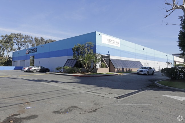
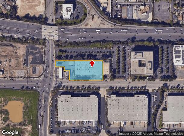
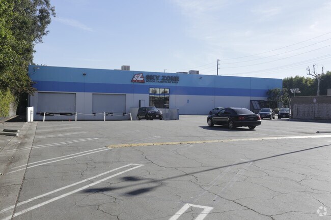
Property Record
1625 W 190Th St, Gardena, CA 90248
NEARBY LISTINGS FOR SALE OR LEASE
Property Detail
1625 W 190Th St
Los Angeles-Long Beach-Glendale, CA
Mcdonald Tr
7351-001-024
*TR=PARCEL MAP AS PER BK 8 P 37 OF P M* LOT (EX OF ST) LOT A
Warehouse
Los Angeles
X
California
06037C1935F
a
2024
1.98 AC
2025
Torrance
292001
Los Angeles
45,415 SF
DEMOGRAPHICS near 1625 W 190Th St
1 mile
3 mile
5 mile
2024 Total Population
10,337
207,475
633,818
2029 Population
9,988
200,905
614,607
Pop Growth 2024-2029
(3.38%)
(3.17%)
(3.03%)
Average Age
43
41
40
2024 Total Households
3,706
71,034
214,191
HH Growth 2024-2029
(3.67%)
(3.42%)
(3.22%)
Median Household Inc
$89,635
$82,106
$88,144
Avg Household Size
2.70
2.80
2.80
2024 Avg HH Vehicles
2.00
2.00
2.00
Median Home Value
$731,250
$723,362
$763,595
Median Year Built
1958
1963
1964
Nearby Places
Map Layers
Map Styles
 Street
 Aerial
Transit
 Traffic
 Biking
Places
Listings with unknown addresses are not visible on the map
- Restaurants
- Banks
- Shops
- Fitness
- Groceries
PUBLIC TRANSPORTATION
AIRPORT
Long Beach (Daugherty Field)
Drive
Walk
Distance
Long Beach (Daugherty Field)
14 min
10.0 mi
Los Angeles International
Drive
Walk
Distance
Los Angeles International
16 min
10.9 mi
Bob Hope
Drive
Walk
Distance
Bob Hope
41 min
32.2 mi
Freight Ports
Port of Los Angeles
Drive
Walk
Distance
Port of Los Angeles
22 min
13.2 mi
Nearby Properties
Address
Land Use
TOTAL SIZE
Lot Size
Zoning
Address
Land Use
TOTAL SIZE
Lot Size
Zoning
997,143 SF
98.35 AC
TOMI-BP
Address
Land Use
TOTAL SIZE
Lot Size
Zoning
64,456 SF
11.71 AC
CASP-10*
Address
Land Use
TOTAL SIZE
Lot Size
Zoning
10,152 SF
140.14 AC
TOMI-HVY
Address
Land Use
TOTAL SIZE
Lot Size
Zoning
422,640 SF
LAM3
Address
Land Use
TOTAL SIZE
Lot Size
Zoning
321,011 SF
15.06 AC
TOMI-LT
Address
Land Use
TOTAL SIZE
Lot Size
Zoning
291,731 SF
16.84 AC
CAML*
Address
Land Use
TOTAL SIZE
Lot Size
Zoning
297,420 SF
6.65 AC
TOHC-CTR
Address
Land Use
TOTAL SIZE
Lot Size
Zoning
604,106 SF
42.72 AC
TOMI-HVY
Address
Land Use
TOTAL SIZE
Lot Size
Zoning
506,189 SF
20.33 AC
LAM2
Address
Land Use
TOTAL SIZE
Lot Size
Zoning
1,504,661 SF
RBCR
Address
Land Use
TOTAL SIZE
Lot Size
Zoning
3,585,714 SF
67.35 AC
LAM3
Address
Land Use
TOTAL SIZE
Lot Size
Zoning
409,522 SF
11.41 AC
LAM3
Address
Land Use
TOTAL SIZE
Lot Size
Zoning
184,300 SF
8.14 AC
LAM3
Address
Land Use
TOTAL SIZE
Lot Size
Zoning
214,782 SF
3.66 AC
GAR3
Address
Land Use
TOTAL SIZE
Lot Size
Zoning
405,352 SF
7.70 AC
TOHC-CTR
Address
Land Use
TOTAL SIZE
Lot Size
Zoning
CARM8U&D*
Address
Land Use
TOTAL SIZE
Lot Size
Zoning
103,228 SF
1.19 AC
TORR-HI
Address
Land Use
TOTAL SIZE
Lot Size
Zoning
260,766 SF
10.70 AC
LAM3
Address
Land Use
TOTAL SIZE
Lot Size
Zoning
502,236 SF
11.58 AC
TOMI-LT
Address
Land Use
TOTAL SIZE
Lot Size
Zoning
429,141 SF
3.29 AC
LCM1*
Address
Land Use
TOTAL SIZE
Lot Size
Zoning
282,280 SF
Address
Land Use
TOTAL SIZE
Lot Size
Zoning
670,305 SF
28.08 AC
TOMI-BP
Address
Land Use
TOTAL SIZE
Lot Size
Zoning
198,502 SF
LCM2 *
Address
Land Use
TOTAL SIZE
Lot Size
Zoning
308,439 SF
19.05 AC
TOHC-GEN
Address
Land Use
TOTAL SIZE
Lot Size
Zoning
365,701 SF
2.45 AC
TOMI-BP
Address
Land Use
TOTAL SIZE
Lot Size
Zoning
121,931 SF
6.26 AC
TOHC-CTR
Address
Land Use
TOTAL SIZE
Lot Size
Zoning
125,849 SF
6.08 AC
LAM2
Address
Land Use
TOTAL SIZE
Lot Size
Zoning
24,060 SF
LAM2
The World's #1 Commercial Real Estate Marketplace
Connect with us
© 2026 CoStar Group
The information above has been obtained from sources believed reliable. While we do not doubt its accuracy we have not verified it and make no guarantee, warranty or representation about it. It is your responsibility to independently confirm its accuracy and completeness. Any projections, opinions, assumptions, or estimates used are for example only and do not represent the current or future performance of the property. The value of this transaction to you depends on tax and other factors which should be evaluated by your tax, financial, and legal advisors. You and your advisors should conduct a careful, independent investigation of the property to determine to your satisfaction the suitability of the property for your needs.