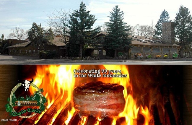
Property Record
1638 S Penrod Ln, Pinetop, AZ 85935
Property Detail
1638 S Penrod Ln
311-46-019
SECTION 5,T8N,R23E:BEG N4 COR; THE E 682.52;TH S 222.37 TPOB; T H N89DG45W 137.76;TH S0DG15W 50; TH S89DG45E 137.76;TH N0DG 15E 50 TPOB
Commercialnec
Navajo
MUNICIPAL
Arizona
B and X Area of moderate flood hazard, usually the area between the limits of the 100-year and 500-year floods.
0.16 AC
2025
Arizona Northeast & Holbrook Area
2027
Other Market Areas
962502
Show Low, AZ
5,111 SF
NEARBY LISTINGS FOR SALE OR LEASE
DEMOGRAPHICS near 1638 S Penrod Ln
1 mile
3 mile
5 mile
2025 Total Population
2,140
10,190
15,068
2030 Population
2,302
10,866
15,966
Pop Growth 2025-2030
+ 7.57%
+ 6.63%
+ 5.96%
Average Age
44
45
45
2025 Total Households
851
3,999
5,949
HH Growth 2025-2030
+ 6.93%
+ 6.78%
+ 5.98%
Median Household Inc
$58,333
$60,186
$58,692
Avg Household Size
2.50
2.50
2.50
2025 Avg HH Vehicles
2.00
2.00
2.00
Median Home Value
$404,839
$361,149
$350,635
Median Year Built
1986
1987
1987
Nearby Places
Map Layers
Map Styles
 Street
 Aerial
Layers
 Traffic
 Biking
Places
Listings with unknown addresses are not visible on the map
- Restaurants
- Banks
- Shops
- Fitness
- Groceries
SALE & LEASE HISTORY
LISTING DATE
SALE/LEASE

Nov 06, 2019
For Sale
May 24, 2021
For Sale
Mar 27, 2024
For Sale
Mar 01, 2017
For Sale
Nearby Properties
Address
Land Use
TOTAL SIZE
Lot Size
Zoning
Address
Land Use
TOTAL SIZE
Lot Size
Zoning
4,308 SF
73.88 AC
MUNICIPAL
Address
Land Use
TOTAL SIZE
Lot Size
Zoning
99,979 SF
10.70 AC
MUNICIPAL
Address
Land Use
TOTAL SIZE
Lot Size
Zoning
320 AC
Address
Land Use
TOTAL SIZE
Lot Size
Zoning
38,549 SF
2.40 AC
MUNICIPAL
Address
Land Use
TOTAL SIZE
Lot Size
Zoning
20,555 SF
19.27 AC
MUNICIPAL
Address
Land Use
TOTAL SIZE
Lot Size
Zoning
68,009 SF
5.41 AC
C-R
Address
Land Use
TOTAL SIZE
Lot Size
Zoning
27,602 SF
1.53 AC
MUNICIPAL
Address
Land Use
TOTAL SIZE
Lot Size
Zoning
18,694 SF
19.77 AC
SD
Address
Land Use
TOTAL SIZE
Lot Size
Zoning
21,761 SF
0.92 AC
MUNICIPAL
Address
Land Use
TOTAL SIZE
Lot Size
Zoning
39,350 SF
4.24 AC
MUNICIPAL
Address
Land Use
TOTAL SIZE
Lot Size
Zoning
22,389 SF
3.16 AC
MUNICIPAL
Address
Land Use
TOTAL SIZE
Lot Size
Zoning
107.88 AC
Address
Land Use
TOTAL SIZE
Lot Size
Zoning
21,538 SF
1.30 AC
MUNICIPAL
Address
Land Use
TOTAL SIZE
Lot Size
Zoning
9,514 SF
2.40 AC
MUNICIPAL
Address
Land Use
TOTAL SIZE
Lot Size
Zoning
16,458 SF
3.20 AC
MUNICIPAL
Address
Land Use
TOTAL SIZE
Lot Size
Zoning
17,843 SF
0.92 AC
MUNICIPAL
Address
Land Use
TOTAL SIZE
Lot Size
Zoning
30,166 SF
1.56 AC
MUNICIPAL
Address
Land Use
TOTAL SIZE
Lot Size
Zoning
14,770 SF
1.30 AC
MUNICIPAL
Address
Land Use
TOTAL SIZE
Lot Size
Zoning
17,168 SF
0.60 AC
MUNICIPAL
Address
Land Use
TOTAL SIZE
Lot Size
Zoning
28,050 SF
2.38 AC
MUNICIPAL
Address
Land Use
TOTAL SIZE
Lot Size
Zoning
17,168 SF
0.46 AC
MUNICIPAL
Address
Land Use
TOTAL SIZE
Lot Size
Zoning
5,636 SF
3.78 AC
Address
Land Use
TOTAL SIZE
Lot Size
Zoning
12,387 SF
1.47 AC
MUNICIPAL
Address
Land Use
TOTAL SIZE
Lot Size
Zoning
28,195 SF
6.62 AC
R1-10
Address
Land Use
TOTAL SIZE
Lot Size
Zoning
12,343 SF
3.61 AC
MUNICIPAL
Address
Land Use
TOTAL SIZE
Lot Size
Zoning
12,042 SF
0.92 AC
MUNICIPAL
Address
Land Use
TOTAL SIZE
Lot Size
Zoning
320 SF
50 AC
MUNICIPAL
Address
Land Use
TOTAL SIZE
Lot Size
Zoning
9,644 SF
0.92 AC
MUNICIPAL
Address
Land Use
TOTAL SIZE
Lot Size
Zoning
11,152 SF
1 AC
SD
The World's #1 Commercial Real Estate Marketplace
Connect with us
© 2026 CoStar Group
The information above has been obtained from sources believed reliable. While we do not doubt its accuracy we have not verified it and make no guarantee, warranty or representation about it. It is your responsibility to independently confirm its accuracy and completeness. Any projections, opinions, assumptions, or estimates used are for example only and do not represent the current or future performance of the property. The value of this transaction to you depends on tax and other factors which should be evaluated by your tax, financial, and legal advisors. You and your advisors should conduct a careful, independent investigation of the property to determine to your satisfaction the suitability of the property for your needs.