Property Record
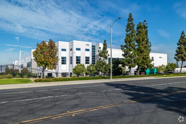
1725 Charles Willard St, Carson, CA 90746


Property Detail
1725 Charles Willard St
7319-039-128
FOR DESC SEE ASSESSORS MAPS
Warehouse
Los Angeles
CASP-2&ML*
California
B and X Area of moderate flood hazard, usually the area between the limits of the 100-year and 500-year floods.
11.92 AC
2024
Carson
2025
Los Angeles
543321
Los Angeles-Long Beach-Glendale, CA
220,792 SF
NEARBY LISTINGS FOR SALE OR LEASE
DEMOGRAPHICS near 1725 Charles Willard St
1 mile
3 mile
5 mile
2025 Total Population
7,321
170,311
624,327
2030 Population
7,239
167,774
614,698
Pop Growth 2025-2030
(1.12%)
(1.49%)
(1.54%)
Average Age
43
39
39
2025 Total Households
2,200
46,539
176,701
HH Growth 2025-2030
(1.55%)
(1.70%)
(1.75%)
Median Household Inc
$117,936
$83,305
$81,118
Avg Household Size
3.00
3.50
3.30
2025 Avg HH Vehicles
2.00
2.00
2.00
Median Home Value
$686,150
$663,096
$693,563
Median Year Built
1970
1961
1959
Nearby Places
Map Layers
Map Styles
 Street
 Aerial
Transit
 Traffic
 Biking
Places
Listings with unknown addresses are not visible on the map
- Restaurants
- Banks
- Shops
- Fitness
- Groceries
PUBLIC TRANSPORTATION
AIRPORT
Long Beach (Daugherty Field)
Drive
Walk
Distance
Long Beach (Daugherty Field)
15 min
8.3 mi
Los Angeles International
Drive
Walk
Distance
Los Angeles International
23 min
15.2 mi
Bob Hope
Drive
Walk
Distance
Bob Hope
44 min
33.0 mi
Freight Ports
Port of Long Beach
Drive
Walk
Distance
Port of Long Beach
16 min
10.0 mi
Nearby Properties
Address
Land Use
TOTAL SIZE
Lot Size
Zoning
Address
Land Use
TOTAL SIZE
Lot Size
Zoning
64,456 SF
11.71 AC
CASP-10*
Address
Land Use
TOTAL SIZE
Lot Size
Zoning
18,791 SF
54.78 AC
LCM2
Address
Land Use
TOTAL SIZE
Lot Size
Zoning
291,731 SF
16.84 AC
CAML*
Address
Land Use
TOTAL SIZE
Lot Size
Zoning
206,715 SF
19.23 AC
CAMH*
Address
Land Use
TOTAL SIZE
Lot Size
Zoning
285,314 SF
14.28 AC
CAMH*
Address
Land Use
TOTAL SIZE
Lot Size
Zoning
383,109 SF
17 AC
LCM2
Address
Land Use
TOTAL SIZE
Lot Size
Zoning
169,400 SF
8.11 AC
COMH*
Address
Land Use
TOTAL SIZE
Lot Size
Zoning
402,197 SF
27.29 AC
COMH*
Address
Land Use
TOTAL SIZE
Lot Size
Zoning
350,896 SF
13.43 AC
LBML*
Address
Land Use
TOTAL SIZE
Lot Size
Zoning
340,121 SF
13 AC
LCM2
Address
Land Use
TOTAL SIZE
Lot Size
Zoning
515,047 SF
4.87 AC
COMH*
Address
Land Use
TOTAL SIZE
Lot Size
Zoning
430,706 SF
18.95 AC
CASP-4*
Address
Land Use
TOTAL SIZE
Lot Size
Zoning
125,849 SF
6.08 AC
LAM2
Address
Land Use
TOTAL SIZE
Lot Size
Zoning
24,060 SF
LAM2
Address
Land Use
TOTAL SIZE
Lot Size
Zoning
178,323 SF
12.23 AC
CACR&D&MUR
Address
Land Use
TOTAL SIZE
Lot Size
Zoning
230,694 SF
9.02 AC
COMH-B*
Address
Land Use
TOTAL SIZE
Lot Size
Zoning
499,562 SF
6.50 AC
LAM3
Address
Land Use
TOTAL SIZE
Lot Size
Zoning
210,742 SF
11.25 AC
CAML*
Address
Land Use
TOTAL SIZE
Lot Size
Zoning
130,977 SF
5.55 AC
LCM2*
Address
Land Use
TOTAL SIZE
Lot Size
Zoning
533,879 SF
10.02 AC
LAM2
Address
Land Use
TOTAL SIZE
Lot Size
Zoning
157,320 SF
7.18 AC
COMH*
Address
Land Use
TOTAL SIZE
Lot Size
Zoning
496,472 SF
21.57 AC
CAMH*
Address
Land Use
TOTAL SIZE
Lot Size
Zoning
110,190 SF
5.16 AC
CAMH*
Address
Land Use
TOTAL SIZE
Lot Size
Zoning
146,820 SF
7.83 AC
LCM2*
Address
Land Use
TOTAL SIZE
Lot Size
Zoning
622,175 SF
14.25 AC
LCM11/2*
Address
Land Use
TOTAL SIZE
Lot Size
Zoning
71,479 SF
3.11 AC
CAML*
Address
Land Use
TOTAL SIZE
Lot Size
Zoning
87,211 SF
3.67 AC
CAMH*
Address
Land Use
TOTAL SIZE
Lot Size
Zoning
118,191 SF
Address
Land Use
TOTAL SIZE
Lot Size
Zoning
146,182 SF
CAML*
Address
Land Use
TOTAL SIZE
Lot Size
Zoning
105,853 SF
9.98 AC
CACA*
The World's #1 Commercial Real Estate Marketplace
Connect with us
© 2026 CoStar Group
The information above has been obtained from sources believed reliable. While we do not doubt its accuracy we have not verified it and make no guarantee, warranty or representation about it. It is your responsibility to independently confirm its accuracy and completeness. Any projections, opinions, assumptions, or estimates used are for example only and do not represent the current or future performance of the property. The value of this transaction to you depends on tax and other factors which should be evaluated by your tax, financial, and legal advisors. You and your advisors should conduct a careful, independent investigation of the property to determine to your satisfaction the suitability of the property for your needs.