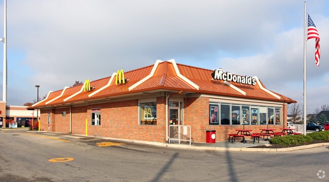
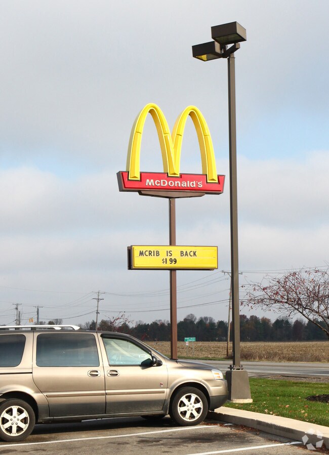
Property Record
17781 State Route 31, Marysville, OH 43040

NEARBY LISTINGS FOR SALE OR LEASE
Property Detail
17781 State Route 31
29-0019067-0990
Virginia Military Survey #4066
Restaurantdrivein
VMS 4066 OR 691 PG 20
X
Union
39159C0263E
Ohio
2024
1.01 AC
2024
Union County
050303
Columbus
4,016 SF
Columbus, OH
DEMOGRAPHICS near 17781 State Route 31
1 Mile
3 Mile
5 Mile
2024 Total Population
8,973
26,621
34,336
2029 Population
10,483
30,905
39,985
Pop Growth 2024-2029
+ 16.83%
+ 16.09%
+ 16.45%
Average Age
35
38
39
2024 Total Households
2,900
9,197
12,326
HH Growth 2024-2029
+ 17.14%
+ 18.05%
+ 18.09%
Median Household Inc
$115,552
$84,529
$83,384
Avg Household Size
3.00
2.60
2.50
2024 Avg HH Vehicles
2.00
2.00
2.00
Median Home Value
$250,884
$232,254
$235,055
Median Year Built
2003
1997
1996
Nearby Places
Map Layers
Map Styles
 Street
 Aerial
- Restaurants
- Banks
- Shops
- Fitness
- Groceries
PUBLIC TRANSPORTATION
AIRPORT
John Glenn Columbus International
DRIVE
WALK
Distance
John Glenn Columbus International
49 min
39.6 mi
Rickenbacker International
DRIVE
WALK
Distance
Rickenbacker International
56 min
45.0 mi
Nearby Properties
Address
Land Use
TOTAL SIZE
Lot Size
Zoning
Address
Land Use
TOTAL SIZE
Lot Size
Zoning
59,793 SF
21.42 AC
Address
Land Use
TOTAL SIZE
Lot Size
Zoning
91,364 SF
99.09 AC
Address
Land Use
TOTAL SIZE
Lot Size
Zoning
1,716 SF
20.29 AC
Address
Land Use
TOTAL SIZE
Lot Size
Zoning
20,384 SF
15.79 AC
Address
Land Use
TOTAL SIZE
Lot Size
Zoning
17,924 SF
23.23 AC
Address
Land Use
TOTAL SIZE
Lot Size
Zoning
Address
Land Use
TOTAL SIZE
Lot Size
Zoning
4,023 SF
Address
Land Use
TOTAL SIZE
Lot Size
Zoning
204,710 SF
Address
Land Use
TOTAL SIZE
Lot Size
Zoning
106,752 SF
15.75 AC
Address
Land Use
TOTAL SIZE
Lot Size
Zoning
4,023 SF
Address
Land Use
TOTAL SIZE
Lot Size
Zoning
192,604 SF
19.64 AC
Address
Land Use
TOTAL SIZE
Lot Size
Zoning
10,685 SF
31.40 AC
Address
Land Use
TOTAL SIZE
Lot Size
Zoning
2,541 SF
15.91 AC
Address
Land Use
TOTAL SIZE
Lot Size
Zoning
3,664 SF
10 AC
Address
Land Use
TOTAL SIZE
Lot Size
Zoning
117,968 SF
19.18 AC
Address
Land Use
TOTAL SIZE
Lot Size
Zoning
58,562 SF
2.53 AC
Address
Land Use
TOTAL SIZE
Lot Size
Zoning
130,000 SF
17.42 AC
Address
Land Use
TOTAL SIZE
Lot Size
Zoning
28,444 SF
107.31 AC
Address
Land Use
TOTAL SIZE
Lot Size
Zoning
1,802 SF
25.66 AC
Address
Land Use
TOTAL SIZE
Lot Size
Zoning
65,792 SF
11.93 AC
Address
Land Use
TOTAL SIZE
Lot Size
Zoning
4,800 SF
8.25 AC
Address
Land Use
TOTAL SIZE
Lot Size
Zoning
Address
Land Use
TOTAL SIZE
Lot Size
Zoning
61,667 SF
17 AC
Address
Land Use
TOTAL SIZE
Lot Size
Zoning
5,824 SF
11.20 AC
Address
Land Use
TOTAL SIZE
Lot Size
Zoning
15,049 SF
2.82 AC
Address
Land Use
TOTAL SIZE
Lot Size
Zoning
14,160 SF
1.82 AC
Address
Land Use
TOTAL SIZE
Lot Size
Zoning
61,667 SF
10.59 AC
Address
Land Use
TOTAL SIZE
Lot Size
Zoning
Address
Land Use
TOTAL SIZE
Lot Size
Zoning
6,429 SF
8.15 AC
Address
Land Use
TOTAL SIZE
Lot Size
Zoning
30,803 SF
15.58 AC
The World's #1 Commercial Real Estate Marketplace
Connect with us
© 2026 CoStar Group
The information above has been obtained from sources believed reliable. While we do not doubt its accuracy we have not verified it and make no guarantee, warranty or representation about it. It is your responsibility to independently confirm its accuracy and completeness. Any projections, opinions, assumptions, or estimates used are for example only and do not represent the current or future performance of the property. The value of this transaction to you depends on tax and other factors which should be evaluated by your tax, financial, and legal advisors. You and your advisors should conduct a careful, independent investigation of the property to determine to your satisfaction the suitability of the property for your needs.