Property Record
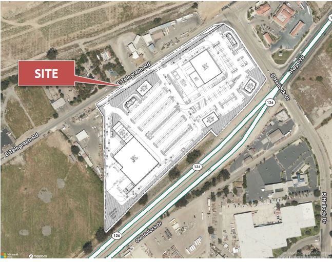
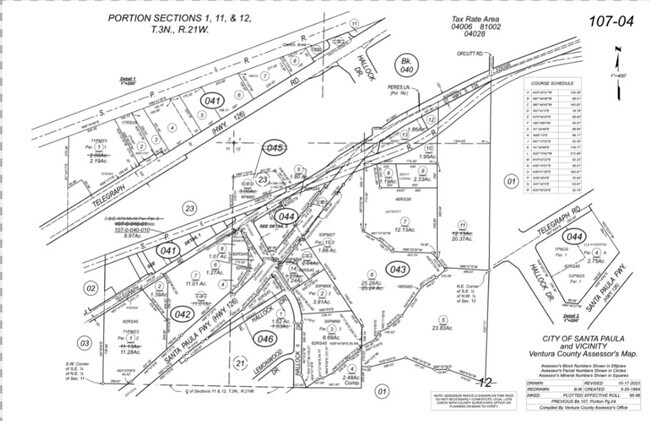
18114 E Telegraph Rd, Santa Paula, CA 93060

Property Detail
18114 E Telegraph Rd
107-0-042-070
PR APN 1070042030
Commercialacreage
Ventura
M2
California
AE The base floodplain where base flood elevations are provided. AE Zones are now used on new format FIRMs instead of A1-A30 Zones.
11.01 AC
2024
Santa Paula/Somis
2025
Los Angeles
000400
Oxnard-Thousand Oaks-Ventura, CA
NEARBY LISTINGS FOR SALE OR LEASE
DEMOGRAPHICS near 18114 E Telegraph Rd
1 mile
3 mile
5 mile
2025 Total Population
6,795
30,660
33,540
2030 Population
6,904
30,678
33,607
Pop Growth 2025-2030
+ 1.60%
+ 0.06%
+ 0.20%
Average Age
38
38
38
2025 Total Households
1,890
8,849
9,788
HH Growth 2025-2030
+ 1.90%
(0.01%)
+ 0.14%
Median Household Inc
$75,665
$79,293
$81,445
Avg Household Size
3.50
3.40
3.40
2025 Avg HH Vehicles
2.00
2.00
2.00
Median Home Value
$669,854
$658,351
$656,031
Median Year Built
1970
1967
1967
Nearby Places
Map Layers
Map Styles
 Street
 Aerial
Layers
 Traffic
 Biking
Places
Listings with unknown addresses are not visible on the map
- Restaurants
- Banks
- Shops
- Fitness
- Groceries
SALE & LEASE HISTORY
LISTING DATE
SALE/LEASE

Feb 09, 2018
For Lease
Nearby Properties
Address
Land Use
TOTAL SIZE
Lot Size
Zoning
Address
Land Use
TOTAL SIZE
Lot Size
Zoning
49.65 AC
Address
Land Use
TOTAL SIZE
Lot Size
Zoning
12,253 SF
16.59 AC
Address
Land Use
TOTAL SIZE
Lot Size
Zoning
87,287 SF
5.86 AC
Address
Land Use
TOTAL SIZE
Lot Size
Zoning
105,773 SF
3.70 AC
M1
Address
Land Use
TOTAL SIZE
Lot Size
Zoning
41,050 SF
3.32 AC
MULT
Address
Land Use
TOTAL SIZE
Lot Size
Zoning
84,194 SF
7.88 AC
M1PD
Address
Land Use
TOTAL SIZE
Lot Size
Zoning
Address
Land Use
TOTAL SIZE
Lot Size
Zoning
156.10 AC
AE
Address
Land Use
TOTAL SIZE
Lot Size
Zoning
64,759 SF
4.01 AC
Address
Land Use
TOTAL SIZE
Lot Size
Zoning
24,660 SF
1.64 AC
Address
Land Use
TOTAL SIZE
Lot Size
Zoning
31,852 SF
2.46 AC
C1PD
Address
Land Use
TOTAL SIZE
Lot Size
Zoning
36,096 SF
5.74 AC
M1L
Address
Land Use
TOTAL SIZE
Lot Size
Zoning
23,591 SF
0.94 AC
Address
Land Use
TOTAL SIZE
Lot Size
Zoning
26,228 SF
1.08 AC
Address
Land Use
TOTAL SIZE
Lot Size
Zoning
21,406 SF
6.01 AC
M1L
Address
Land Use
TOTAL SIZE
Lot Size
Zoning
66,439 SF
3.50 AC
Address
Land Use
TOTAL SIZE
Lot Size
Zoning
18,338 SF
0.96 AC
C2
Address
Land Use
TOTAL SIZE
Lot Size
Zoning
49,552 SF
4.93 AC
Address
Land Use
TOTAL SIZE
Lot Size
Zoning
2,513 SF
38.64 AC
AE
Address
Land Use
TOTAL SIZE
Lot Size
Zoning
1.95 AC
RA
Address
Land Use
TOTAL SIZE
Lot Size
Zoning
13,210 SF
2.80 AC
M1L
Address
Land Use
TOTAL SIZE
Lot Size
Zoning
36,278 SF
8.68 AC
M-1
Address
Land Use
TOTAL SIZE
Lot Size
Zoning
21,600 SF
0.96 AC
C1
Address
Land Use
TOTAL SIZE
Lot Size
Zoning
39,410 SF
2.14 AC
M1&:
Address
Land Use
TOTAL SIZE
Lot Size
Zoning
16,708 SF
1.93 AC
C2
The World's #1 Commercial Real Estate Marketplace
Connect with us
© 2026 CoStar Group
The information above has been obtained from sources believed reliable. While we do not doubt its accuracy we have not verified it and make no guarantee, warranty or representation about it. It is your responsibility to independently confirm its accuracy and completeness. Any projections, opinions, assumptions, or estimates used are for example only and do not represent the current or future performance of the property. The value of this transaction to you depends on tax and other factors which should be evaluated by your tax, financial, and legal advisors. You and your advisors should conduct a careful, independent investigation of the property to determine to your satisfaction the suitability of the property for your needs.