Property Record
18200 Contour Rd, Gaithersburg, MD 20877


Save to a Folder
{{folder.Name}}
{{folder.ListingIds.length}} Properties
{{folder.ListingIds.length}} Property
Create a New Folder
Property Detail
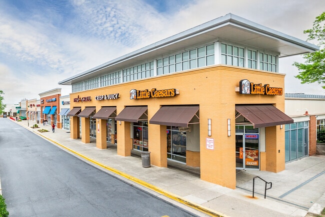
18200 Contour Rd
09-02353002
PAR B MONTGOMERY VIL PLAT 406 MONTGOMERY VILL
Regionalshoppingcenterormallwithanchorstore
MONTGOMERY
CRT1.
Maryland
B and X Area of moderate flood hazard, usually the area between the limits of the 100-year and 500-year floods.
p
2025
9.46 AC
2025
Gaithersburg
700727
Washington, DC
122,557 SF
Washington-Arlington-Alexandria, DC-VA-MD-WV
NEARBY LISTINGS FOR SALE OR LEASE
DEMOGRAPHICS near 18200 Contour Rd
1 mile
3 mile
5 mile
2025 Total Population
29,371
154,909
296,647
2030 Population
30,311
159,748
305,319
Pop Growth 2025-2030
+ 3.20%
+ 3.12%
+ 2.92%
Average Age
39
39
40
2025 Total Households
10,931
54,155
106,422
HH Growth 2025-2030
+ 3.39%
+ 3.13%
+ 2.94%
Median Household Inc
$75,821
$100,903
$112,791
Avg Household Size
2.60
2.80
2.70
2025 Avg HH Vehicles
1.00
2.00
2.00
Median Home Value
$377,777
$441,689
$504,184
Median Year Built
1983
1983
1986
Nearby Places
Map Layers
Map Styles
 Street
 Aerial
Layers
 Traffic
 Biking
Places
Listings with unknown addresses are not visible on the map
- Restaurants
- Banks
- Shops
- Fitness
- Groceries
PUBLIC TRANSPORTATION
COMMUTER RAIL
Gaithersburg (Brunswick Line - Maryland Area Regional Commuter Trains (The MARC))
Drive
Walk
Distance
Gaithersburg (Brunswick Line - Maryland Area Regional Commuter Trains (The MARC))
4 min
1.4 mi
Washington Grove (Brunswick Line - Maryland Area Regional Commuter Trains (The MARC))
Drive
Walk
Distance
Washington Grove (Brunswick Line - Maryland Area Regional Commuter Trains (The MARC))
6 min
2.3 mi
AIRPORT
Ronald Reagan Washington Ntl
Drive
Walk
Distance
Ronald Reagan Washington Ntl
41 min
30.2 mi
Washington Dulles International
Drive
Walk
Distance
Washington Dulles International
40 min
33.3 mi
Baltimore/Washington International Thurgood Marshall
Drive
Walk
Distance
Baltimore/Washington International Thurgood Marshall
46 min
40.3 mi
Freight Ports
Port of Baltimore
Drive
Walk
Distance
Port of Baltimore
1 min
33.1 mi
SALE & LEASE HISTORY
LISTING DATE
SALE/LEASE

Sep 25, 2016
For Lease
Nearby Properties
Address
Land Use
TOTAL SIZE
Lot Size
Zoning
Address
Land Use
TOTAL SIZE
Lot Size
Zoning
849,305 SF
30.78 AC
MXD
Address
Land Use
TOTAL SIZE
Lot Size
Zoning
317,233 SF
18.26 AC
LSC2.
Address
Land Use
TOTAL SIZE
Lot Size
Zoning
298,220 SF
38.37 AC
I3
Address
Land Use
TOTAL SIZE
Lot Size
Zoning
431,178 SF
40.97 AC
RA
Address
Land Use
TOTAL SIZE
Lot Size
Zoning
450,000 SF
8.53 AC
MXD
Address
Land Use
TOTAL SIZE
Lot Size
Zoning
185,000 SF
2.60 AC
EOF
Address
Land Use
TOTAL SIZE
Lot Size
Zoning
912,992 SF
6.11 AC
CBD
Address
Land Use
TOTAL SIZE
Lot Size
Zoning
754,379 SF
28.29 AC
R90
Address
Land Use
TOTAL SIZE
Lot Size
Zoning
185,040 SF
49.79 AC
IL1.0
Address
Land Use
TOTAL SIZE
Lot Size
Zoning
407,130 SF
4.62 AC
CRT1.
Address
Land Use
TOTAL SIZE
Lot Size
Zoning
370,422 SF
13.87 AC
CRT1.
Address
Land Use
TOTAL SIZE
Lot Size
Zoning
2,556 SF
555.47 AC
R200
Address
Land Use
TOTAL SIZE
Lot Size
Zoning
302,484 SF
4.99 AC
MXD
Address
Land Use
TOTAL SIZE
Lot Size
Zoning
85,381 SF
5.86 AC
MXD
Address
Land Use
TOTAL SIZE
Lot Size
Zoning
899,156 SF
6.05 AC
CD
Address
Land Use
TOTAL SIZE
Lot Size
Zoning
323,940 SF
17.92 AC
R30
Address
Land Use
TOTAL SIZE
Lot Size
Zoning
1.64 AC
MXD
Address
Land Use
TOTAL SIZE
Lot Size
Zoning
385,641 SF
2.65 AC
MXD
Address
Land Use
TOTAL SIZE
Lot Size
Zoning
325,990 SF
51.21 AC
CRT07
Address
Land Use
TOTAL SIZE
Lot Size
Zoning
279,442 SF
9.78 AC
CRT1.
Address
Land Use
TOTAL SIZE
Lot Size
Zoning
17.64 AC
MXD
Address
Land Use
TOTAL SIZE
Lot Size
Zoning
565,209 SF
6.53 AC
MXD
Address
Land Use
TOTAL SIZE
Lot Size
Zoning
427,670 SF
18.36 AC
R20
Address
Land Use
TOTAL SIZE
Lot Size
Zoning
207,587 SF
16.41 AC
CD
Address
Land Use
TOTAL SIZE
Lot Size
Zoning
407,972 SF
44.95 AC
IL1.0
Address
Land Use
TOTAL SIZE
Lot Size
Zoning
240,000 SF
1.77 AC
MXD
Address
Land Use
TOTAL SIZE
Lot Size
Zoning
462,892 SF
23.84 AC
MXD
Address
Land Use
TOTAL SIZE
Lot Size
Zoning
147,135 SF
8.16 AC
I3
Address
Land Use
TOTAL SIZE
Lot Size
Zoning
3.03 AC
MXD
Address
Land Use
TOTAL SIZE
Lot Size
Zoning
55,943 SF
31.86 AC
I1
The World's #1 Commercial Real Estate Marketplace
Connect with us
© 2026 CoStar Group
The information above has been obtained from sources believed reliable. While we do not doubt its accuracy we have not verified it and make no guarantee, warranty or representation about it. It is your responsibility to independently confirm its accuracy and completeness. Any projections, opinions, assumptions, or estimates used are for example only and do not represent the current or future performance of the property. The value of this transaction to you depends on tax and other factors which should be evaluated by your tax, financial, and legal advisors. You and your advisors should conduct a careful, independent investigation of the property to determine to your satisfaction the suitability of the property for your needs.