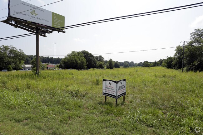
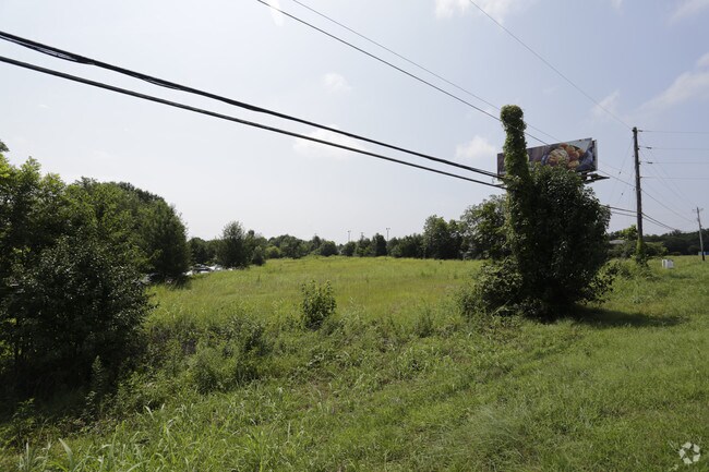
Property Record
1841 Highway 11 Nw, Monroe, GA 30656

NEARBY LISTINGS FOR SALE OR LEASE
Property Detail
1841 Highway 11 Nw
Atlanta-Sandy Springs-Roswell, GA
09164-County Nbhd/Spot
C088000000029000
29.51
Commercialnec
Walton
A
Georgia
13297C0130F
77
2024
29.51 AC
2025
Walton County
110400
Atlanta
1,800 SF
DEMOGRAPHICS near 1841 Highway 11 Nw
1 Mile
3 Mile
5 Mile
2024 Total Population
1,434
12,259
36,967
2029 Population
1,660
14,188
42,916
Pop Growth 2024-2029
+ 15.76%
+ 15.74%
+ 16.09%
Average Age
41
40
40
2024 Total Households
495
4,547
13,605
HH Growth 2024-2029
+ 16.16%
+ 16.03%
+ 16.46%
Median Household Inc
$38,378
$56,103
$58,982
Avg Household Size
2.60
2.60
2.70
2024 Avg HH Vehicles
2.00
2.00
2.00
Median Home Value
$193,332
$199,140
$248,426
Median Year Built
1984
1989
1993
Nearby Places
Map Layers
Map Styles
 Street
 Aerial
- Restaurants
- Banks
- Shops
- Fitness
- Groceries
SALE & LEASE HISTORY
LISTING DATE
SALE/LEASE

Sep 24, 2016
For Sale
Aug 09, 2017
For Sale
Nearby Properties
Address
Land Use
TOTAL SIZE
Lot Size
Zoning
Address
Land Use
TOTAL SIZE
Lot Size
Zoning
117,471 SF
65.68 AC
B3
Address
Land Use
TOTAL SIZE
Lot Size
Zoning
174,303 SF
26.22 AC
PCD
Address
Land Use
TOTAL SIZE
Lot Size
Zoning
35,900 SF
44.30 AC
B3
Address
Land Use
TOTAL SIZE
Lot Size
Zoning
188,663 SF
25.40 AC
B3
Address
Land Use
TOTAL SIZE
Lot Size
Zoning
319.22 AC
B3 R1
Address
Land Use
TOTAL SIZE
Lot Size
Zoning
96,107 SF
58.49 AC
R1
Address
Land Use
TOTAL SIZE
Lot Size
Zoning
96,107 SF
44.64 AC
A2
Address
Land Use
TOTAL SIZE
Lot Size
Zoning
58,980 SF
8.84 AC
PCD
Address
Land Use
TOTAL SIZE
Lot Size
Zoning
39,385 SF
38.48 AC
B3
Address
Land Use
TOTAL SIZE
Lot Size
Zoning
104,716 SF
11.70 AC
B3
Address
Land Use
TOTAL SIZE
Lot Size
Zoning
12,240 SF
7.16 AC
B3
Address
Land Use
TOTAL SIZE
Lot Size
Zoning
27,300 SF
8 AC
PCD
Address
Land Use
TOTAL SIZE
Lot Size
Zoning
25,192 SF
20.20 AC
A2
Address
Land Use
TOTAL SIZE
Lot Size
Zoning
90,557 SF
11.46 AC
B3
Address
Land Use
TOTAL SIZE
Lot Size
Zoning
104,104 SF
17.55 AC
R1A
Address
Land Use
TOTAL SIZE
Lot Size
Zoning
37,600 SF
5.96 AC
B2
Address
Land Use
TOTAL SIZE
Lot Size
Zoning
30,722 SF
2.54 AC
B2
Address
Land Use
TOTAL SIZE
Lot Size
Zoning
6.60 AC
PCD
Address
Land Use
TOTAL SIZE
Lot Size
Zoning
199.96 AC
R1
Address
Land Use
TOTAL SIZE
Lot Size
Zoning
3.83 AC
PCD
Address
Land Use
TOTAL SIZE
Lot Size
Zoning
10,350 SF
11.74 AC
M1
Address
Land Use
TOTAL SIZE
Lot Size
Zoning
15,402 SF
14.67 AC
R2
Address
Land Use
TOTAL SIZE
Lot Size
Zoning
10,000 SF
80.08 AC
M1
Address
Land Use
TOTAL SIZE
Lot Size
Zoning
3,040 SF
19.94 AC
M1
Address
Land Use
TOTAL SIZE
Lot Size
Zoning
50,968 SF
6.51 AC
B3
Address
Land Use
TOTAL SIZE
Lot Size
Zoning
15,984 SF
4.86 AC
B3
Address
Land Use
TOTAL SIZE
Lot Size
Zoning
6,460 SF
2.32 AC
R2
Address
Land Use
TOTAL SIZE
Lot Size
Zoning
11.59 AC
PCD
Address
Land Use
TOTAL SIZE
Lot Size
Zoning
3,321 SF
9.20 AC
R2
Address
Land Use
TOTAL SIZE
Lot Size
Zoning
21,600 SF
7.24 AC
B3
The World's #1 Commercial Real Estate Marketplace
Connect with us
© 2026 CoStar Group
The information above has been obtained from sources believed reliable. While we do not doubt its accuracy we have not verified it and make no guarantee, warranty or representation about it. It is your responsibility to independently confirm its accuracy and completeness. Any projections, opinions, assumptions, or estimates used are for example only and do not represent the current or future performance of the property. The value of this transaction to you depends on tax and other factors which should be evaluated by your tax, financial, and legal advisors. You and your advisors should conduct a careful, independent investigation of the property to determine to your satisfaction the suitability of the property for your needs.