Property Record
1871 Bridge Rd, Suffolk, VA 23433


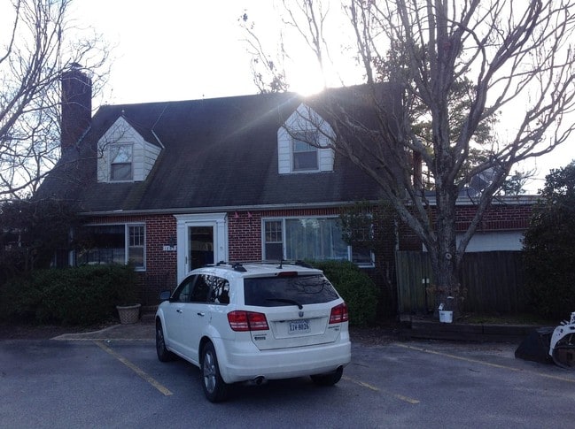
Property Detail
1871 Bridge Rd
251994500
HWY.17,JONES,HAZELWOOD
Commercialnec
SUFFOLK CITY
NEIGHBORHO
Virginia
B and X Area of moderate flood hazard, usually the area between the limits of the 100-year and 500-year floods.
2.06 AC
2025
Northern Suffolk
2025
Hampton Roads
075301
Virginia Beach-Chesapeake-Norfolk, VA-NC
1,610 SF
NEARBY LISTINGS FOR SALE OR LEASE
DEMOGRAPHICS near 1871 Bridge Rd
1 mile
3 mile
5 mile
2025 Total Population
2,009
10,353
45,990
2030 Population
2,203
11,205
49,463
Pop Growth 2025-2030
+ 9.66%
+ 8.23%
+ 7.55%
Average Age
48
45
40
2025 Total Households
820
3,973
17,568
HH Growth 2025-2030
+ 9.88%
+ 8.43%
+ 7.71%
Median Household Inc
$151,796
$132,298
$103,214
Avg Household Size
2.40
2.60
2.60
2025 Avg HH Vehicles
3.00
2.00
2.00
Median Home Value
$498,987
$459,999
$403,094
Median Year Built
1983
2000
2001
Nearby Places
Map Layers
Map Styles
 Street
 Aerial
Layers
 Traffic
 Biking
Places
Listings with unknown addresses are not visible on the map
- Restaurants
- Banks
- Shops
- Fitness
- Groceries
PUBLIC TRANSPORTATION
AIRPORT
Newport News/Williamsburg International
Drive
Walk
Distance
Newport News/Williamsburg International
36 min
20.9 mi
Norfolk International
Drive
Walk
Distance
Norfolk International
37 min
21.0 mi
Freight Ports
Virginia Port Authority - Newport News
Drive
Walk
Distance
Virginia Port Authority - Newport News
23 min
15.2 mi
SALE & LEASE HISTORY
LISTING DATE
SALE/LEASE

Jan 11, 2018
For Sale
Dec 13, 2016
For Sale
Nearby Properties
Address
Land Use
TOTAL SIZE
Lot Size
Zoning
Address
Land Use
TOTAL SIZE
Lot Size
Zoning
681,685 SF
52.59 AC
LIGHT INDU
Address
Land Use
TOTAL SIZE
Lot Size
Zoning
11.83 AC
OFFICE-INS
Address
Land Use
TOTAL SIZE
Lot Size
Zoning
1,018 SF
8.03 AC
GC
Address
Land Use
TOTAL SIZE
Lot Size
Zoning
11,246 SF
7.88 AC
RESIDENTIA
Address
Land Use
TOTAL SIZE
Lot Size
Zoning
20,175 SF
12.35 AC
GENERAL CO
Address
Land Use
TOTAL SIZE
Lot Size
Zoning
2,541 SF
10.93 AC
07
Address
Land Use
TOTAL SIZE
Lot Size
Zoning
28,470 SF
5.46 AC
GENERAL CO
Address
Land Use
TOTAL SIZE
Lot Size
Zoning
2,464 SF
54.58 AC
RURAL RESI
Address
Land Use
TOTAL SIZE
Lot Size
Zoning
39,414 SF
7.90 AC
RESIDENTIA
Address
Land Use
TOTAL SIZE
Lot Size
Zoning
1,100 SF
190.54 AC
RESIDENTIA
Address
Land Use
TOTAL SIZE
Lot Size
Zoning
5,817 SF
2.70 AC
NEIGHBORHO
Address
Land Use
TOTAL SIZE
Lot Size
Zoning
12,708 SF
1 AC
01
Address
Land Use
TOTAL SIZE
Lot Size
Zoning
5,854 SF
9.47 AC
OFFICE-INS
Address
Land Use
TOTAL SIZE
Lot Size
Zoning
11,562 SF
2.75 AC
RAC
Address
Land Use
TOTAL SIZE
Lot Size
Zoning
4,843 SF
3.41 AC
GENERAL CO
Address
Land Use
TOTAL SIZE
Lot Size
Zoning
5,753 SF
43.07 AC
RURAL ESTA
Address
Land Use
TOTAL SIZE
Lot Size
Zoning
9,632 SF
1.42 AC
01
Address
Land Use
TOTAL SIZE
Lot Size
Zoning
3,828 SF
4.63 AC
05
Address
Land Use
TOTAL SIZE
Lot Size
Zoning
10,206 SF
6.19 AC
01
Address
Land Use
TOTAL SIZE
Lot Size
Zoning
5,346 SF
120 AC
AGRICULTUR
Address
Land Use
TOTAL SIZE
Lot Size
Zoning
4,920 SF
2.02 AC
NEIGHBORHO
Address
Land Use
TOTAL SIZE
Lot Size
Zoning
4,389 SF
1.03 AC
RESIDENTIA
Address
Land Use
TOTAL SIZE
Lot Size
Zoning
13,050 SF
2.45 AC
01
Address
Land Use
TOTAL SIZE
Lot Size
Zoning
10,044 SF
2.22 AC
GENERAL CO
Address
Land Use
TOTAL SIZE
Lot Size
Zoning
8,217 SF
4.02 AC
RURAL RESI
Address
Land Use
TOTAL SIZE
Lot Size
Zoning
2,418 SF
0.98 AC
GENERAL CO
Address
Land Use
TOTAL SIZE
Lot Size
Zoning
13,000 SF
2.72 AC
06
The World's #1 Commercial Real Estate Marketplace
Connect with us
© 2026 CoStar Group
The information above has been obtained from sources believed reliable. While we do not doubt its accuracy we have not verified it and make no guarantee, warranty or representation about it. It is your responsibility to independently confirm its accuracy and completeness. Any projections, opinions, assumptions, or estimates used are for example only and do not represent the current or future performance of the property. The value of this transaction to you depends on tax and other factors which should be evaluated by your tax, financial, and legal advisors. You and your advisors should conduct a careful, independent investigation of the property to determine to your satisfaction the suitability of the property for your needs.