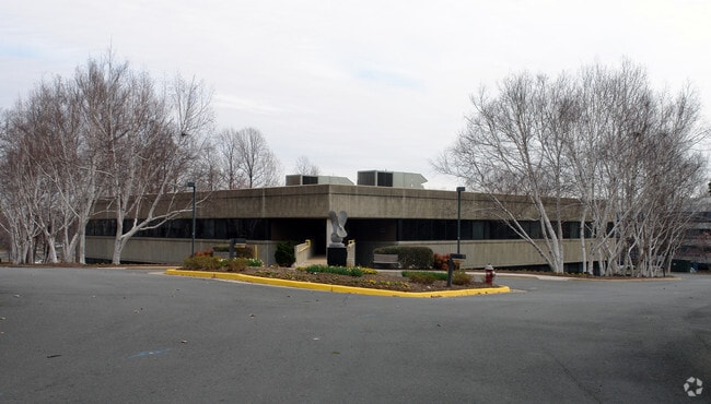
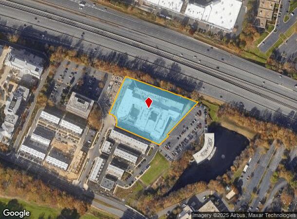
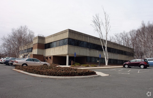
Property Record
1925 Roland Clarke Pl, Reston, VA 20191

NEARBY LISTINGS FOR SALE OR LEASE
Property Detail
1925 Roland Clarke Pl
Washington-Arlington-Alexandria, DC-VA-MD-WV
Reston
0174-141A0003A
RESTON LT 3A BLK 1A SEC 902
Apartment
Fairfax
X
Virginia
51059C0130E
3a
2024
3.06 AC
2025
Reston
482301
Washington, DC
337,399 SF
DEMOGRAPHICS near 1925 Roland Clarke Pl
1 Mile
3 Mile
5 Mile
2024 Total Population
20,280
106,993
228,541
2029 Population
20,460
106,012
227,761
Pop Growth 2024-2029
+ 0.89%
(0.92%)
(0.34%)
Average Age
40
40
40
2024 Total Households
10,276
43,542
83,509
HH Growth 2024-2029
+ 1.04%
(0.77%)
(0.32%)
Median Household Inc
$130,961
$138,185
$148,526
Avg Household Size
2.00
2.40
2.70
2024 Avg HH Vehicles
1.00
2.00
2.00
Median Home Value
$598,443
$658,898
$712,359
Median Year Built
1999
1985
1985
Nearby Places
- Restaurants
- Banks
- Shops
- Fitness
- Groceries
PUBLIC TRANSPORTATION
AIRPORT
Washington Dulles International
DRIVE
WALK
Distance
Washington Dulles International
16 min
7.6 mi
Ronald Reagan Washington Ntl
DRIVE
WALK
Distance
Ronald Reagan Washington Ntl
36 min
23.0 mi
Freight Ports
Port of Baltimore
DRIVE
WALK
Distance
Port of Baltimore
76 min
55.0 mi
SALE & LEASE HISTORY
LISTING DATE
SALE/LEASE

Jan 24, 2017
For Lease
Jan 10, 2017
For Lease
Nearby Properties
Address
Land Use
TOTAL SIZE
Lot Size
Zoning
Address
Land Use
TOTAL SIZE
Lot Size
Zoning
6.67 AC
400
Address
Land Use
TOTAL SIZE
Lot Size
Zoning
1,071,881 SF
373
Address
Land Use
TOTAL SIZE
Lot Size
Zoning
643,232 SF
2.81 AC
373
Address
Land Use
TOTAL SIZE
Lot Size
Zoning
473,458 SF
13.74 AC
540
Address
Land Use
TOTAL SIZE
Lot Size
Zoning
1,096,572 SF
85.06 AC
110
Address
Land Use
TOTAL SIZE
Lot Size
Zoning
446,810 SF
1.12 AC
373
Address
Land Use
TOTAL SIZE
Lot Size
Zoning
450,397 SF
1.07 AC
373
Address
Land Use
TOTAL SIZE
Lot Size
Zoning
275,809 SF
0.75 AC
373
Address
Land Use
TOTAL SIZE
Lot Size
Zoning
332,957 SF
12.68 AC
550
Address
Land Use
TOTAL SIZE
Lot Size
Zoning
532,480 SF
4.62 AC
373
Address
Land Use
TOTAL SIZE
Lot Size
Zoning
469,276 SF
11.42 AC
373
Address
Land Use
TOTAL SIZE
Lot Size
Zoning
498,299 SF
7.40 AC
400
Address
Land Use
TOTAL SIZE
Lot Size
Zoning
560,356 SF
4.33 AC
372
Address
Land Use
TOTAL SIZE
Lot Size
Zoning
407,812 SF
33.12 AC
373
Address
Land Use
TOTAL SIZE
Lot Size
Zoning
429,038 SF
11.41 AC
400
Address
Land Use
TOTAL SIZE
Lot Size
Zoning
337,921 SF
13.57 AC
373
Address
Land Use
TOTAL SIZE
Lot Size
Zoning
437,235 SF
3.33 AC
373
Address
Land Use
TOTAL SIZE
Lot Size
Zoning
264,888 SF
8.59 AC
596
Address
Land Use
TOTAL SIZE
Lot Size
Zoning
411,519 SF
3.48 AC
350
Address
Land Use
TOTAL SIZE
Lot Size
Zoning
263,767 SF
2.34 AC
373
Address
Land Use
TOTAL SIZE
Lot Size
Zoning
408,315 SF
5.06 AC
400
Address
Land Use
TOTAL SIZE
Lot Size
Zoning
394,900 SF
5.30 AC
373
Address
Land Use
TOTAL SIZE
Lot Size
Zoning
492,219 SF
16.89 AC
330
Address
Land Use
TOTAL SIZE
Lot Size
Zoning
274,082 SF
1.08 AC
373
Address
Land Use
TOTAL SIZE
Lot Size
Zoning
337,100 SF
2.19 AC
373
Address
Land Use
TOTAL SIZE
Lot Size
Zoning
320,835 SF
400
Address
Land Use
TOTAL SIZE
Lot Size
Zoning
268,302 SF
11.89 AC
373
Address
Land Use
TOTAL SIZE
Lot Size
Zoning
267,665 SF
1.84 AC
350
The World's #1 Commercial Real Estate Marketplace
Connect with us
© 2025 CoStar Group
The information above has been obtained from sources believed reliable. While we do not doubt its accuracy we have not verified it and make no guarantee, warranty or representation about it. It is your responsibility to independently confirm its accuracy and completeness. Any projections, opinions, assumptions, or estimates used are for example only and do not represent the current or future performance of the property. The value of this transaction to you depends on tax and other factors which should be evaluated by your tax, financial, and legal advisors. You and your advisors should conduct a careful, independent investigation of the property to determine to your satisfaction the suitability of the property for your needs.