Property Record
2 Granite Rd, Kingston, NH 03848

Save to a Folder
{{folder.Name}}
{{folder.ListingIds.length}} Properties
{{folder.ListingIds.length}} Property
Create a New Folder
Property Detail
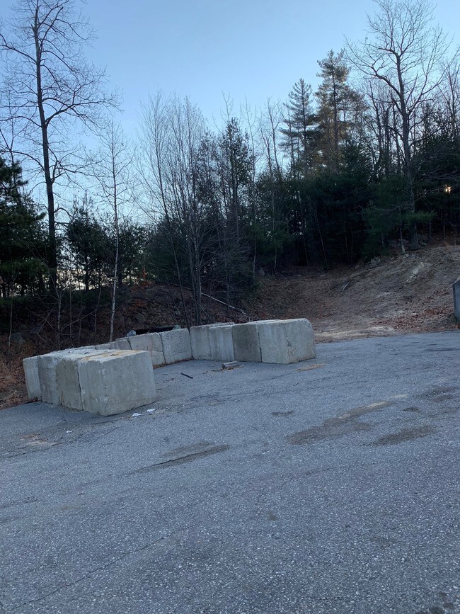
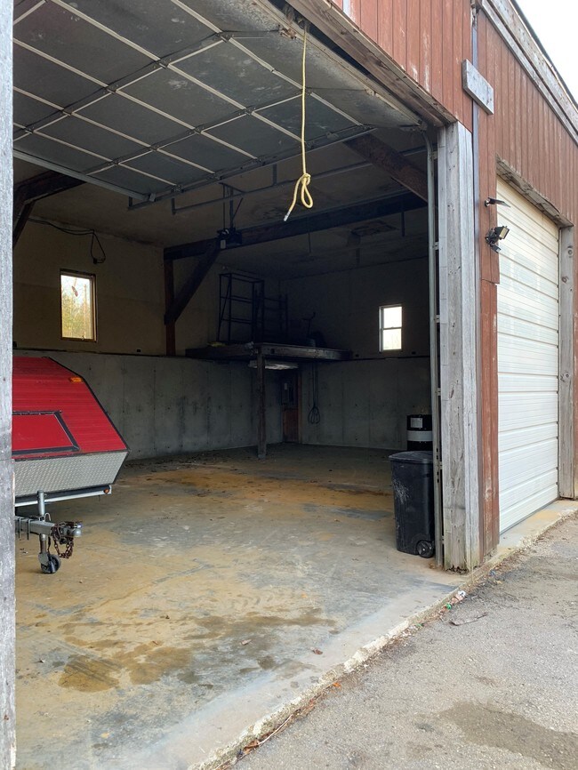
2 Granite Rd
KNGS-000003-000007-000001-R000000
Rockingham
Commercialnec
New Hampshire
C3AQC3
1
B and X Area of moderate flood hazard, usually the area between the limits of the 100-year and 500-year floods.
3.10 AC
2025
Rockingham
2025
Boston
105100
Boston-Cambridge-Newton, MA-NH
1,680 SF
NEARBY LISTINGS FOR SALE OR LEASE
DEMOGRAPHICS near 2 Granite Rd
1 mile
3 mile
5 mile
2025 Total Population
1,254
15,346
47,864
2030 Population
1,260
15,369
48,358
Pop Growth 2025-2030
+ 0.48%
+ 0.15%
+ 1.03%
Average Age
43
44
44
2025 Total Households
483
6,038
18,571
HH Growth 2025-2030
+ 0.21%
0.00%
+ 0.85%
Median Household Inc
$116,015
$120,387
$116,527
Avg Household Size
2.50
2.50
2.50
2025 Avg HH Vehicles
2.00
2.00
2.00
Median Home Value
$464,673
$480,924
$494,399
Median Year Built
1980
1980
1981
Nearby Places
Map Layers
Map Styles
 Street
 Aerial
Layers
 Traffic
 Biking
Places
Listings with unknown addresses are not visible on the map
- Restaurants
- Banks
- Shops
- Fitness
- Groceries
PUBLIC TRANSPORTATION
COMMUTER RAIL
Haverhill (Haverhill Line - Massachusetts Bay Transportation Authority Commuter Rail (Purple Line))
Drive
Walk
Distance
Haverhill (Haverhill Line - Massachusetts Bay Transportation Authority Commuter Rail (Purple Line))
14 min
7.5 mi
Bradford (Haverhill Line - Massachusetts Bay Transportation Authority Commuter Rail (Purple Line))
Drive
Walk
Distance
Bradford (Haverhill Line - Massachusetts Bay Transportation Authority Commuter Rail (Purple Line))
16 min
8.0 mi
AIRPORT
Manchester Boston Regional
Drive
Walk
Distance
Manchester Boston Regional
53 min
30.6 mi
Portsmouth International at Pease
Drive
Walk
Distance
Portsmouth International at Pease
50 min
34.8 mi
Freight Ports
Port of Boston
Drive
Walk
Distance
Port of Boston
61 min
43.0 mi
Nearby Properties
Address
Land Use
TOTAL SIZE
Lot Size
Zoning
Address
Land Use
TOTAL SIZE
Lot Size
Zoning
8.79 AC
RRAQ R
Address
Land Use
TOTAL SIZE
Lot Size
Zoning
257,286 SF
90 AC
LDR
Address
Land Use
TOTAL SIZE
Lot Size
Zoning
125,627 SF
46.02 AC
C-1
Address
Land Use
TOTAL SIZE
Lot Size
Zoning
2,400 SF
4 AC
MDR
Address
Land Use
TOTAL SIZE
Lot Size
Zoning
102,488 SF
19.50 AC
Address
Land Use
TOTAL SIZE
Lot Size
Zoning
36.41 AC
RRAQ R
Address
Land Use
TOTAL SIZE
Lot Size
Zoning
115,088 SF
27.42 AC
Address
Land Use
TOTAL SIZE
Lot Size
Zoning
2.09 AC
LDR
Address
Land Use
TOTAL SIZE
Lot Size
Zoning
99,441 SF
18.69 AC
C-1
Address
Land Use
TOTAL SIZE
Lot Size
Zoning
39,670 SF
26.55 AC
RES-A
Address
Land Use
TOTAL SIZE
Lot Size
Zoning
184,193 SF
24.80 AC
I
Address
Land Use
TOTAL SIZE
Lot Size
Zoning
32,074 SF
6.69 AC
C-1
Address
Land Use
TOTAL SIZE
Lot Size
Zoning
55,960 SF
12.42 AC
I
Address
Land Use
TOTAL SIZE
Lot Size
Zoning
130,422 SF
16.95 AC
LIGHT
Address
Land Use
TOTAL SIZE
Lot Size
Zoning
70,433 SF
30.78 AC
VC
Address
Land Use
TOTAL SIZE
Lot Size
Zoning
79,184 SF
9.96 AC
C-3
Address
Land Use
TOTAL SIZE
Lot Size
Zoning
16,020 SF
6.68 AC
VC
Address
Land Use
TOTAL SIZE
Lot Size
Zoning
4,025 SF
45.06 AC
RES-A
Address
Land Use
TOTAL SIZE
Lot Size
Zoning
8,272 SF
10 AC
COMM
Address
Land Use
TOTAL SIZE
Lot Size
Zoning
0.64 AC
LDR
Address
Land Use
TOTAL SIZE
Lot Size
Zoning
1,577 SF
122.25 AC
RRAQ R
Address
Land Use
TOTAL SIZE
Lot Size
Zoning
19,823 SF
2.60 AC
C-1
Address
Land Use
TOTAL SIZE
Lot Size
Zoning
19,120 SF
14.41 AC
C-1
Address
Land Use
TOTAL SIZE
Lot Size
Zoning
13,840 SF
19.80 AC
C-3
Address
Land Use
TOTAL SIZE
Lot Size
Zoning
66,288 SF
50.31 AC
LIGHT
Address
Land Use
TOTAL SIZE
Lot Size
Zoning
48,400 SF
5.75 AC
I
Address
Land Use
TOTAL SIZE
Lot Size
Zoning
27,362 SF
2.51 AC
C-3
Address
Land Use
TOTAL SIZE
Lot Size
Zoning
13,982 SF
19.51 AC
I
Address
Land Use
TOTAL SIZE
Lot Size
Zoning
9,276 SF
5.50 AC
COMM
Address
Land Use
TOTAL SIZE
Lot Size
Zoning
3,498 SF
3.76 AC
C-1
The World's #1 Commercial Real Estate Marketplace
Connect with us
© 2026 CoStar Group
The information above has been obtained from sources believed reliable. While we do not doubt its accuracy we have not verified it and make no guarantee, warranty or representation about it. It is your responsibility to independently confirm its accuracy and completeness. Any projections, opinions, assumptions, or estimates used are for example only and do not represent the current or future performance of the property. The value of this transaction to you depends on tax and other factors which should be evaluated by your tax, financial, and legal advisors. You and your advisors should conduct a careful, independent investigation of the property to determine to your satisfaction the suitability of the property for your needs.