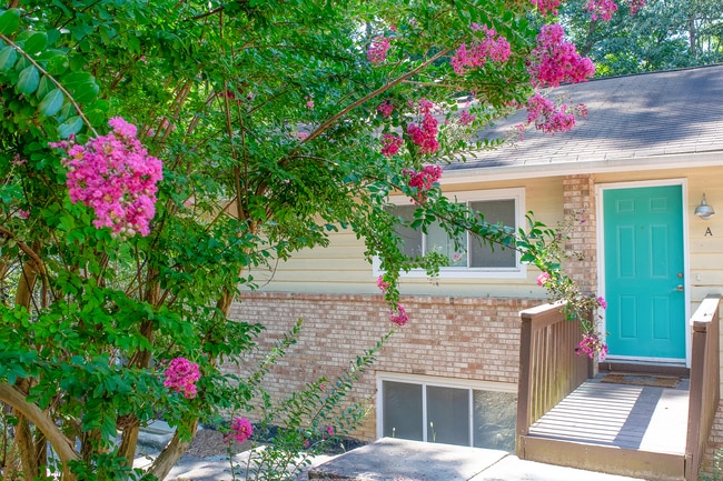
Property Record
201 Howell St, Chapel Hill, NC 27514
NEARBY LISTINGS FOR SALE OR LEASE
Property Detail
201 Howell St
9788402618
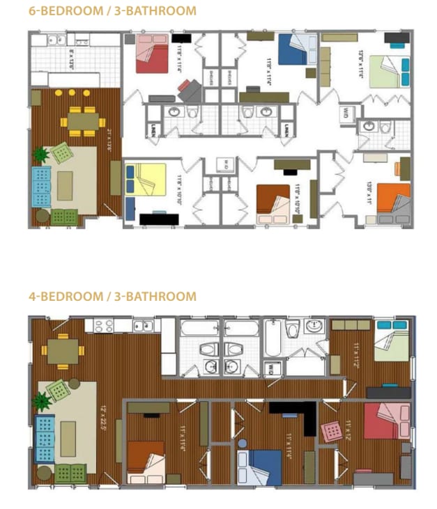
Tract C Howell Street Apartments
Multifamilydwelling
1 HOWELL STREET APARTMENTS LLC P114/156
X
Orange
3710978800K
North Carolina
2025
2.61 AC
2025
UNC Chapel Hill
011700
Raleigh/Durham
3,840 SF
Durham-Chapel Hill, NC
DEMOGRAPHICS near 201 Howell St
1 Mile
3 Mile
5 Mile
2024 Total Population
12,933
59,079
105,377
2029 Population
12,456
55,824
101,231
Pop Growth 2024-2029
(3.69%)
(5.51%)
(3.93%)
Average Age
27
34
38
2024 Total Households
2,400
22,263
41,709
HH Growth 2024-2029
(7.38%)
(6.16%)
(4.00%)
Median Household Inc
$58,571
$69,735
$86,816
Avg Household Size
2.30
2.20
2.20
2024 Avg HH Vehicles
2.00
2.00
2.00
Median Home Value
$594,315
$504,909
$466,684
Median Year Built
1984
1985
1990
Nearby Places
Map Layers
Map Styles
 Street
 Aerial
- Restaurants
- Banks
- Shops
- Fitness
- Groceries
PUBLIC TRANSPORTATION
AIRPORT
Raleigh-Durham International
DRIVE
WALK
Distance
Raleigh-Durham International
29 min
18.4 mi
Freight Ports
Port of Wilmington
DRIVE
WALK
Distance
Port of Wilmington
189 min
162.5 mi
SALE & LEASE HISTORY
LISTING DATE
SALE/LEASE

Sep 14, 2021
For Sale
Jul 25, 2024
For Sale
Jul 13, 2022
For Sale
Feb 20, 2020
For Sale
Feb 13, 2017
For Sale
Nearby Properties
Address
Land Use
TOTAL SIZE
Lot Size
Zoning
Address
Land Use
TOTAL SIZE
Lot Size
Zoning
104,541 SF
404.01 AC
Address
Land Use
TOTAL SIZE
Lot Size
Zoning
215,860 SF
12.28 AC
Address
Land Use
TOTAL SIZE
Lot Size
Zoning
264,710 SF
32.50 AC
R1
Address
Land Use
TOTAL SIZE
Lot Size
Zoning
116,223 SF
34.65 AC
Address
Land Use
TOTAL SIZE
Lot Size
Zoning
244,609 SF
2.72 AC
Address
Land Use
TOTAL SIZE
Lot Size
Zoning
81,191 SF
12.33 AC
OI4
Address
Land Use
TOTAL SIZE
Lot Size
Zoning
55,318 SF
9.05 AC
R4
Address
Land Use
TOTAL SIZE
Lot Size
Zoning
2,748 SF
17.80 AC
R-5-CZD
Address
Land Use
TOTAL SIZE
Lot Size
Zoning
238,990 SF
2.43 AC
Address
Land Use
TOTAL SIZE
Lot Size
Zoning
134,448 SF
59.23 AC
Address
Land Use
TOTAL SIZE
Lot Size
Zoning
9,423 SF
43.95 AC
PDR 6.800
Address
Land Use
TOTAL SIZE
Lot Size
Zoning
54,220 SF
41.04 AC
R-1
Address
Land Use
TOTAL SIZE
Lot Size
Zoning
119,585 SF
62.30 AC
Address
Land Use
TOTAL SIZE
Lot Size
Zoning
21,078 SF
227.43 AC
OI3R2
Address
Land Use
TOTAL SIZE
Lot Size
Zoning
135,540 SF
4.34 AC
Address
Land Use
TOTAL SIZE
Lot Size
Zoning
26,328 SF
13.86 AC
OR3
Address
Land Use
TOTAL SIZE
Lot Size
Zoning
361,420 SF
1.68 AC
Address
Land Use
TOTAL SIZE
Lot Size
Zoning
85,652 SF
16.49 AC
R1R5
Address
Land Use
TOTAL SIZE
Lot Size
Zoning
24,820 SF
1 AC
Address
Land Use
TOTAL SIZE
Lot Size
Zoning
143,750 SF
1.32 AC
OI3OI4
Address
Land Use
TOTAL SIZE
Lot Size
Zoning
174,922 SF
4.59 AC
OI4
Address
Land Use
TOTAL SIZE
Lot Size
Zoning
24,101 SF
13.85 AC
R5
Address
Land Use
TOTAL SIZE
Lot Size
Zoning
142,236 SF
12.66 AC
OI2
Address
Land Use
TOTAL SIZE
Lot Size
Zoning
15,916 SF
46.02 AC
R10RSIR
Address
Land Use
TOTAL SIZE
Lot Size
Zoning
419,258 SF
39.50 AC
CC
Address
Land Use
TOTAL SIZE
Lot Size
Zoning
12,328 SF
16.37 AC
R75
Address
Land Use
TOTAL SIZE
Lot Size
Zoning
78,028 SF
32.60 AC
Address
Land Use
TOTAL SIZE
Lot Size
Zoning
38,514 SF
25.11 AC
R-1
Address
Land Use
TOTAL SIZE
Lot Size
Zoning
22,328 SF
19.48 AC
Address
Land Use
TOTAL SIZE
Lot Size
Zoning
95,282 SF
13.42 AC
R1
The World's #1 Commercial Real Estate Marketplace
Connect with us
© 2025 CoStar Group
The information above has been obtained from sources believed reliable. While we do not doubt its accuracy we have not verified it and make no guarantee, warranty or representation about it. It is your responsibility to independently confirm its accuracy and completeness. Any projections, opinions, assumptions, or estimates used are for example only and do not represent the current or future performance of the property. The value of this transaction to you depends on tax and other factors which should be evaluated by your tax, financial, and legal advisors. You and your advisors should conduct a careful, independent investigation of the property to determine to your satisfaction the suitability of the property for your needs.