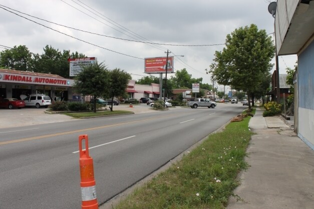
Property Record
202 W 27Th St, Houston, TX 77008


NEARBY LISTINGS FOR SALE OR LEASE
Property Detail
202 W 27Th St
0200240000001
Houston Heights
Commercialnec
TRS 1 2 3 & 4 BLK 28 HOUSTON HEIGHTS
X
Harris
48201C0670M
Texas
2024
0.12 AC
2025
Inner Loop/Heights
511501
Houston
3,060 SF
Houston-The Woodlands-Sugar Land, TX
DEMOGRAPHICS near 202 W 27Th St
1 Mile
3 Mile
5 Mile
2024 Total Population
20,067
167,782
423,763
2029 Population
21,080
174,408
439,800
Pop Growth 2024-2029
+ 5.05%
+ 3.95%
+ 3.78%
Average Age
39
37
37
2024 Total Households
9,285
72,537
178,677
HH Growth 2024-2029
+ 5.04%
+ 4.10%
+ 4.06%
Median Household Inc
$114,038
$91,736
$73,401
Avg Household Size
2.10
2.30
2.30
2024 Avg HH Vehicles
2.00
2.00
2.00
Median Home Value
$501,577
$432,857
$387,792
Median Year Built
2000
1986
1988
Nearby Places
Map Layers
Map Styles
 Street
 Aerial
- Restaurants
- Banks
- Shops
- Fitness
- Groceries
PUBLIC TRANSPORTATION
AIRPORT
William P Hobby
DRIVE
WALK
Distance
William P Hobby
30 min
17.9 mi
George Bush Intcntl/Houston
DRIVE
WALK
Distance
George Bush Intcntl/Houston
23 min
18.3 mi
SALE & LEASE HISTORY
LISTING DATE
SALE/LEASE

Oct 29, 2017
For Sale
Jun 06, 2019
For Sale
Nearby Properties
Address
Land Use
TOTAL SIZE
Lot Size
Zoning
Address
Land Use
TOTAL SIZE
Lot Size
Zoning
453,456 SF
3.11 AC
Address
Land Use
TOTAL SIZE
Lot Size
Zoning
519,374 SF
6.18 AC
Address
Land Use
TOTAL SIZE
Lot Size
Zoning
788,433 SF
5.09 AC
Address
Land Use
TOTAL SIZE
Lot Size
Zoning
563,626 SF
4.71 AC
Address
Land Use
TOTAL SIZE
Lot Size
Zoning
474,326 SF
43.16 AC
Address
Land Use
TOTAL SIZE
Lot Size
Zoning
314,489 SF
1.84 AC
Address
Land Use
TOTAL SIZE
Lot Size
Zoning
429,771 SF
3.49 AC
Address
Land Use
TOTAL SIZE
Lot Size
Zoning
315,439 SF
3.54 AC
Address
Land Use
TOTAL SIZE
Lot Size
Zoning
432,691 SF
3.26 AC
Address
Land Use
TOTAL SIZE
Lot Size
Zoning
443,982 SF
3.79 AC
Address
Land Use
TOTAL SIZE
Lot Size
Zoning
324,709 SF
4 AC
Address
Land Use
TOTAL SIZE
Lot Size
Zoning
261,312 SF
1.81 AC
Address
Land Use
TOTAL SIZE
Lot Size
Zoning
457,647 SF
2.30 AC
Address
Land Use
TOTAL SIZE
Lot Size
Zoning
538,026 SF
7.03 AC
Address
Land Use
TOTAL SIZE
Lot Size
Zoning
593,265 SF
3.73 AC
Address
Land Use
TOTAL SIZE
Lot Size
Zoning
684,371 SF
3.97 AC
Address
Land Use
TOTAL SIZE
Lot Size
Zoning
255,545 SF
2.91 AC
Address
Land Use
TOTAL SIZE
Lot Size
Zoning
264,101 SF
3.58 AC
Address
Land Use
TOTAL SIZE
Lot Size
Zoning
522,454 SF
6.63 AC
Address
Land Use
TOTAL SIZE
Lot Size
Zoning
379,725 SF
2.84 AC
Address
Land Use
TOTAL SIZE
Lot Size
Zoning
569,030 SF
4.92 AC
Address
Land Use
TOTAL SIZE
Lot Size
Zoning
295,572 SF
3.05 AC
Address
Land Use
TOTAL SIZE
Lot Size
Zoning
587,156 SF
4.40 AC
Address
Land Use
TOTAL SIZE
Lot Size
Zoning
440,577 SF
4.13 AC
Address
Land Use
TOTAL SIZE
Lot Size
Zoning
270,845 SF
10.75 AC
Address
Land Use
TOTAL SIZE
Lot Size
Zoning
443,228 SF
3.15 AC
Address
Land Use
TOTAL SIZE
Lot Size
Zoning
87,179 SF
4.13 AC
Address
Land Use
TOTAL SIZE
Lot Size
Zoning
322,880 SF
2.61 AC
Address
Land Use
TOTAL SIZE
Lot Size
Zoning
363,503 SF
12.81 AC
Address
Land Use
TOTAL SIZE
Lot Size
Zoning
402,433 SF
2.77 AC
The World's #1 Commercial Real Estate Marketplace
Connect with us
© 2026 CoStar Group
The information above has been obtained from sources believed reliable. While we do not doubt its accuracy we have not verified it and make no guarantee, warranty or representation about it. It is your responsibility to independently confirm its accuracy and completeness. Any projections, opinions, assumptions, or estimates used are for example only and do not represent the current or future performance of the property. The value of this transaction to you depends on tax and other factors which should be evaluated by your tax, financial, and legal advisors. You and your advisors should conduct a careful, independent investigation of the property to determine to your satisfaction the suitability of the property for your needs.