Property Record
2031 Hubbard Ln, Grants Pass, OR 97527
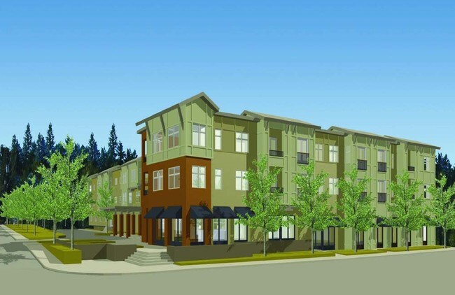


Property Detail
2031 Hubbard Ln
R320148
ACRES 1.00
Residentialacreage
Josephine
R-3
Oregon
B and X Area of moderate flood hazard, usually the area between the limits of the 100-year and 500-year floods.
1 AC
2024
Medford/Grants Pass
2025
Other Market Areas
361102
Grants Pass, OR
720 SF
NEARBY LISTINGS FOR SALE OR LEASE
DEMOGRAPHICS near 2031 Hubbard Ln
1 mile
3 mile
5 mile
2025 Total Population
6,005
25,561
56,670
2030 Population
6,037
25,407
56,328
Pop Growth 2025-2030
+ 0.53%
(0.60%)
(0.60%)
Average Age
43
45
44
2025 Total Households
2,448
10,276
22,881
HH Growth 2025-2030
+ 0.61%
(0.62%)
(0.69%)
Median Household Inc
$63,564
$65,987
$65,324
Avg Household Size
2.40
2.40
2.40
2025 Avg HH Vehicles
2.00
2.00
2.00
Median Home Value
$377,640
$390,004
$396,730
Median Year Built
1997
1988
1982
Nearby Places
Map Layers
Map Styles
 Street
 Aerial
Layers
 Traffic
 Biking
Places
Listings with unknown addresses are not visible on the map
- Restaurants
- Banks
- Shops
- Fitness
- Groceries
PUBLIC TRANSPORTATION
AIRPORT
Rogue Valley International - Medford
Drive
Walk
Distance
Rogue Valley International - Medford
41 min
30.3 mi
Nearby Properties
Address
Land Use
TOTAL SIZE
Lot Size
Zoning
Address
Land Use
TOTAL SIZE
Lot Size
Zoning
1,324,134 SF
9.03 AC
R-1-6
Address
Land Use
TOTAL SIZE
Lot Size
Zoning
74,405 SF
11.34 AC
GC
Address
Land Use
TOTAL SIZE
Lot Size
Zoning
41,944 SF
7.80 AC
R-3
Address
Land Use
TOTAL SIZE
Lot Size
Zoning
3.93 AC
R-3
Address
Land Use
TOTAL SIZE
Lot Size
Zoning
498 SF
40.34 AC
R-3
Address
Land Use
TOTAL SIZE
Lot Size
Zoning
3.56 AC
GC
Address
Land Use
TOTAL SIZE
Lot Size
Zoning
112,259 SF
6.40 AC
GC
Address
Land Use
TOTAL SIZE
Lot Size
Zoning
76,830 SF
16.12 AC
R-3
Address
Land Use
TOTAL SIZE
Lot Size
Zoning
25,131 SF
5.22 AC
GC
Address
Land Use
TOTAL SIZE
Lot Size
Zoning
26,000 SF
9.12 AC
R-1-8
Address
Land Use
TOTAL SIZE
Lot Size
Zoning
20,000 SF
19.04 AC
R-1-8
Address
Land Use
TOTAL SIZE
Lot Size
Zoning
4,363 SF
15.58 AC
GC
Address
Land Use
TOTAL SIZE
Lot Size
Zoning
59,641 SF
4.99 AC
GC
Address
Land Use
TOTAL SIZE
Lot Size
Zoning
52,746 SF
14.66 AC
R-1-8
Address
Land Use
TOTAL SIZE
Lot Size
Zoning
87,976 SF
1.07 AC
GC
Address
Land Use
TOTAL SIZE
Lot Size
Zoning
126,000 SF
3.47 AC
GC
Address
Land Use
TOTAL SIZE
Lot Size
Zoning
37,733 SF
3.29 AC
R-4
Address
Land Use
TOTAL SIZE
Lot Size
Zoning
30,823 SF
2.69 AC
GC
Address
Land Use
TOTAL SIZE
Lot Size
Zoning
9.25 AC
GC
Address
Land Use
TOTAL SIZE
Lot Size
Zoning
18,532 SF
1.27 AC
GC
Address
Land Use
TOTAL SIZE
Lot Size
Zoning
15,011 SF
1.26 AC
GC
Address
Land Use
TOTAL SIZE
Lot Size
Zoning
5,710 SF
28.69 AC
R-1-8
Address
Land Use
TOTAL SIZE
Lot Size
Zoning
5,528 SF
2.97 AC
GC
Address
Land Use
TOTAL SIZE
Lot Size
Zoning
1,669 SF
1.85 AC
GC
Address
Land Use
TOTAL SIZE
Lot Size
Zoning
39,998 SF
1.70 AC
GC
Address
Land Use
TOTAL SIZE
Lot Size
Zoning
23,412 SF
1.68 AC
GC
Address
Land Use
TOTAL SIZE
Lot Size
Zoning
216 SF
BP
Address
Land Use
TOTAL SIZE
Lot Size
Zoning
9,000 SF
3.84 AC
R-3
Address
Land Use
TOTAL SIZE
Lot Size
Zoning
35,959 SF
2.03 AC
R-3
Address
Land Use
TOTAL SIZE
Lot Size
Zoning
1.49 AC
GC
The World's #1 Commercial Real Estate Marketplace
Connect with us
© 2026 CoStar Group
The information above has been obtained from sources believed reliable. While we do not doubt its accuracy we have not verified it and make no guarantee, warranty or representation about it. It is your responsibility to independently confirm its accuracy and completeness. Any projections, opinions, assumptions, or estimates used are for example only and do not represent the current or future performance of the property. The value of this transaction to you depends on tax and other factors which should be evaluated by your tax, financial, and legal advisors. You and your advisors should conduct a careful, independent investigation of the property to determine to your satisfaction the suitability of the property for your needs.