Property Record
2048 Abbott Rd, Buffalo, NY 14218

Property Detail
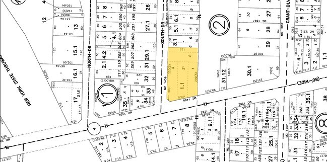
2048 Abbott Rd
140900 151.08-2-1.1
ERIE
Commercialnec
New York
NC
1.100
B and X Area of moderate flood hazard, usually the area between the limits of the 100-year and 500-year floods.
0.74 AC
0
South
2025
Buffalo/Niagara Falls
012502
Buffalo-Cheektowaga, NY
5,216 SF
NEARBY LISTINGS FOR SALE OR LEASE
DEMOGRAPHICS near 2048 Abbott Rd
1 mile
3 mile
5 mile
2025 Total Population
7,543
72,849
151,657
2030 Population
7,534
72,032
150,652
Pop Growth 2025-2030
(0.12%)
(1.12%)
(0.66%)
Average Age
42
42
43
2025 Total Households
3,225
31,885
66,452
HH Growth 2025-2030
(0.25%)
(1.14%)
(0.69%)
Median Household Inc
$78,094
$68,396
$68,062
Avg Household Size
2.30
2.20
2.20
2025 Avg HH Vehicles
2.00
2.00
2.00
Median Home Value
$206,186
$206,743
$220,944
Median Year Built
1961
1955
1958
Nearby Places
Map Layers
Map Styles
 Street
 Aerial
Layers
 Traffic
 Biking
Places
Listings with unknown addresses are not visible on the map
- Restaurants
- Banks
- Shops
- Fitness
- Groceries
PUBLIC TRANSPORTATION
COMMUTER RAIL
Drive
Walk
Distance
15 min
8.1 mi
AIRPORT
Buffalo Niagara International
Drive
Walk
Distance
Buffalo Niagara International
24 min
13.7 mi
Niagara Falls International
Drive
Walk
Distance
Niagara Falls International
44 min
28.0 mi
Nearby Properties
Address
Land Use
TOTAL SIZE
Lot Size
Zoning
Address
Land Use
TOTAL SIZE
Lot Size
Zoning
405,000 SF
44.10 AC
DR-2
Address
Land Use
TOTAL SIZE
Lot Size
Zoning
49,500 SF
108.40 AC
DR-2
Address
Land Use
TOTAL SIZE
Lot Size
Zoning
425,796 SF
7.10 AC
D-M
Address
Land Use
TOTAL SIZE
Lot Size
Zoning
22,754 SF
41.80 AC
Address
Land Use
TOTAL SIZE
Lot Size
Zoning
80,440 SF
1.54 AC
N-1C
Address
Land Use
TOTAL SIZE
Lot Size
Zoning
279,026 SF
25.08 AC
D-IL
Address
Land Use
TOTAL SIZE
Lot Size
Zoning
197,584 SF
32.50 AC
B2
Address
Land Use
TOTAL SIZE
Lot Size
Zoning
972 SF
194.01 AC
D-OG
Address
Land Use
TOTAL SIZE
Lot Size
Zoning
48.14 AC
OP
Address
Land Use
TOTAL SIZE
Lot Size
Zoning
18,840 SF
114.12 AC
M3
Address
Land Use
TOTAL SIZE
Lot Size
Zoning
151,200 SF
8.36 AC
BETH
Address
Land Use
TOTAL SIZE
Lot Size
Zoning
151,200 SF
8.29 AC
IND
Address
Land Use
TOTAL SIZE
Lot Size
Zoning
43,942 SF
14.34 AC
CBD
Address
Land Use
TOTAL SIZE
Lot Size
Zoning
264,816 SF
2.08 AC
D-M
Address
Land Use
TOTAL SIZE
Lot Size
Zoning
124,112 SF
53.10 AC
05 - COMME
Address
Land Use
TOTAL SIZE
Lot Size
Zoning
110,150 SF
39.23 AC
IND
Address
Land Use
TOTAL SIZE
Lot Size
Zoning
149,065 SF
21.53 AC
B2
Address
Land Use
TOTAL SIZE
Lot Size
Zoning
205,680 SF
37.40 AC
11
Address
Land Use
TOTAL SIZE
Lot Size
Zoning
9.91 AC
IND
Address
Land Use
TOTAL SIZE
Lot Size
Zoning
6,048 SF
7.85 AC
N-3R
Address
Land Use
TOTAL SIZE
Lot Size
Zoning
7.50 AC
Address
Land Use
TOTAL SIZE
Lot Size
Zoning
15.78 AC
IND
Address
Land Use
TOTAL SIZE
Lot Size
Zoning
34,385 SF
11.15 AC
D-OG
Address
Land Use
TOTAL SIZE
Lot Size
Zoning
Address
Land Use
TOTAL SIZE
Lot Size
Zoning
22,667 SF
123 AC
OP
Address
Land Use
TOTAL SIZE
Lot Size
Zoning
0.07 AC
Address
Land Use
TOTAL SIZE
Lot Size
Zoning
165,478 SF
9.79 AC
Address
Land Use
TOTAL SIZE
Lot Size
Zoning
191,026 SF
32.60 AC
10
Address
Land Use
TOTAL SIZE
Lot Size
Zoning
72.11 AC
Address
Land Use
TOTAL SIZE
Lot Size
Zoning
34,968 SF
18.26 AC
10
The World's #1 Commercial Real Estate Marketplace
Connect with us
© 2026 CoStar Group
The information above has been obtained from sources believed reliable. While we do not doubt its accuracy we have not verified it and make no guarantee, warranty or representation about it. It is your responsibility to independently confirm its accuracy and completeness. Any projections, opinions, assumptions, or estimates used are for example only and do not represent the current or future performance of the property. The value of this transaction to you depends on tax and other factors which should be evaluated by your tax, financial, and legal advisors. You and your advisors should conduct a careful, independent investigation of the property to determine to your satisfaction the suitability of the property for your needs.