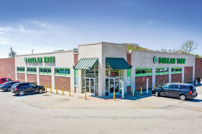
Property Record
21 18Th St, Corbin, KY 40701

Property Detail
21 18Th St
138-30-17-014.00
DOLLAR TREE & 1.205 AC @ MAIN ST
Commercialnec
WHITLEY
B2
Kentucky
B and X Area of moderate flood hazard, usually the area between the limits of the 100-year and 500-year floods.
1.21 AC
2025
Corbin/London Area
2025
Other Market Areas
920100
Corbin, KY
NEARBY LISTINGS FOR SALE OR LEASE
DEMOGRAPHICS near 21 18Th St
1 mile
3 mile
5 mile
2025 Total Population
3,164
16,186
27,359
2030 Population
3,216
16,394
27,640
Pop Growth 2025-2030
+ 1.64%
+ 1.29%
+ 1.03%
Average Age
39
41
41
2025 Total Households
1,299
6,598
10,958
HH Growth 2025-2030
+ 1.69%
+ 1.36%
+ 1.08%
Median Household Inc
$52,020
$43,416
$44,805
Avg Household Size
2.40
2.40
2.40
2025 Avg HH Vehicles
2.00
2.00
2.00
Median Home Value
$176,086
$178,548
$169,366
Median Year Built
1974
1979
1985
Nearby Places
Map Layers
Map Styles
 Street
 Aerial
Layers
 Traffic
 Biking
Places
Listings with unknown addresses are not visible on the map
- Restaurants
- Banks
- Shops
- Fitness
- Groceries
SALE & LEASE HISTORY
LISTING DATE
SALE/LEASE

Sep 25, 2016
For Lease
Oct 25, 2016
For Lease
Jun 01, 2022
For Sale
Jan 18, 2017
For Lease
Dec 05, 2016
For Lease
Nearby Properties
Address
Land Use
TOTAL SIZE
Lot Size
Zoning
Address
Land Use
TOTAL SIZE
Lot Size
Zoning
84 AC
OTHER
Address
Land Use
TOTAL SIZE
Lot Size
Zoning
3.62 AC
RESIDENTIA
Address
Land Use
TOTAL SIZE
Lot Size
Zoning
8,800 SF
RESIDENTIA
Address
Land Use
TOTAL SIZE
Lot Size
Zoning
47.26 AC
Address
Land Use
TOTAL SIZE
Lot Size
Zoning
120,330 SF
30.64 AC
Address
Land Use
TOTAL SIZE
Lot Size
Zoning
183,211 SF
23.69 AC
R-1
Address
Land Use
TOTAL SIZE
Lot Size
Zoning
OTHER
Address
Land Use
TOTAL SIZE
Lot Size
Zoning
144.26 AC
Address
Land Use
TOTAL SIZE
Lot Size
Zoning
16,016 SF
11.80 AC
Address
Land Use
TOTAL SIZE
Lot Size
Zoning
40.03 AC
RESIDENTIA
Address
Land Use
TOTAL SIZE
Lot Size
Zoning
39.38 AC
Address
Land Use
TOTAL SIZE
Lot Size
Zoning
Address
Land Use
TOTAL SIZE
Lot Size
Zoning
124,134 SF
17.26 AC
R-1
Address
Land Use
TOTAL SIZE
Lot Size
Zoning
84,782 SF
6.37 AC
Address
Land Use
TOTAL SIZE
Lot Size
Zoning
38,750 SF
9.35 AC
Address
Land Use
TOTAL SIZE
Lot Size
Zoning
RESIDENTIA
Address
Land Use
TOTAL SIZE
Lot Size
Zoning
124,760 SF
9.97 AC
Address
Land Use
TOTAL SIZE
Lot Size
Zoning
1,792 SF
0.41 AC
Address
Land Use
TOTAL SIZE
Lot Size
Zoning
1,600 SF
4.72 AC
R-1
Address
Land Use
TOTAL SIZE
Lot Size
Zoning
1.45 AC
COMMERCIAL
Address
Land Use
TOTAL SIZE
Lot Size
Zoning
16.97 AC
OTHER
Address
Land Use
TOTAL SIZE
Lot Size
Zoning
7.60 AC
RESIDENTIA
Address
Land Use
TOTAL SIZE
Lot Size
Zoning
Address
Land Use
TOTAL SIZE
Lot Size
Zoning
38,442 SF
9.41 AC
COMMERCIAL
Address
Land Use
TOTAL SIZE
Lot Size
Zoning
1.07 AC
R-1
Address
Land Use
TOTAL SIZE
Lot Size
Zoning
12.78 AC
Address
Land Use
TOTAL SIZE
Lot Size
Zoning
10.16 AC
R-1
Address
Land Use
TOTAL SIZE
Lot Size
Zoning
2,796 SF
1.20 AC
COMMERCIAL
Address
Land Use
TOTAL SIZE
Lot Size
Zoning
27,000 SF
COMMERCIAL
The World's #1 Commercial Real Estate Marketplace
Connect with us
© 2026 CoStar Group
The information above has been obtained from sources believed reliable. While we do not doubt its accuracy we have not verified it and make no guarantee, warranty or representation about it. It is your responsibility to independently confirm its accuracy and completeness. Any projections, opinions, assumptions, or estimates used are for example only and do not represent the current or future performance of the property. The value of this transaction to you depends on tax and other factors which should be evaluated by your tax, financial, and legal advisors. You and your advisors should conduct a careful, independent investigation of the property to determine to your satisfaction the suitability of the property for your needs.