Property Record
2150 Aucutt Rd, Montgomery, IL 60538
NEARBY LISTINGS FOR SALE OR LEASE
Property Detail
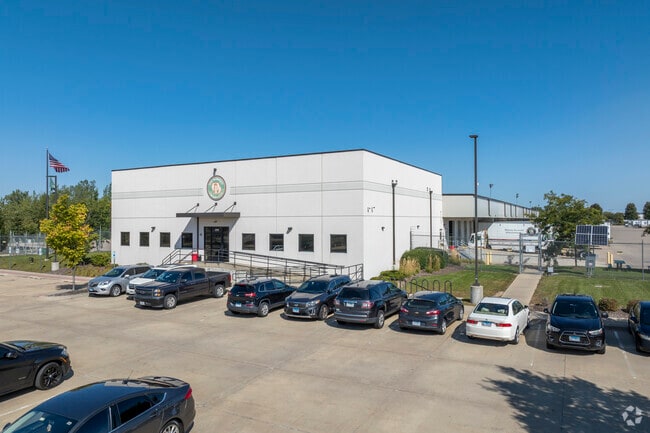
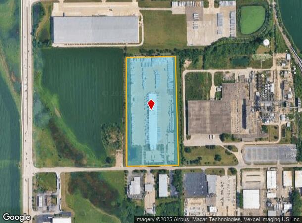
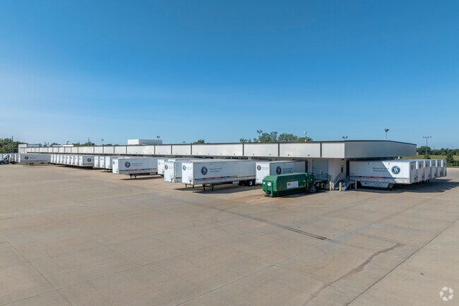
2150 Aucutt Rd
Chicago-Naperville-Elgin, IL-IN-WI
Old Dominion Freight Line Sub
15-31-176-002
OLD DOMINION FREIGHT LINE SUB LT 1 (EX THE NORTH 5 FT CONVEYED IN SUB PLAT 2017K066242)
Industrialgeneral
Kane
X
Illinois
17089C0401H
1
2024
17.35 AC
2024
I-88 West
854002
Chicago
DEMOGRAPHICS near 2150 Aucutt Rd
1 Mile
3 Mile
5 Mile
2024 Total Population
2,159
71,451
184,404
2029 Population
2,208
74,424
190,647
Pop Growth 2024-2029
+ 2.27%
+ 4.16%
+ 3.39%
Average Age
38
38
37
2024 Total Households
779
24,088
60,411
HH Growth 2024-2029
+ 1.93%
+ 4.12%
+ 3.52%
Median Household Inc
$101,054
$80,664
$77,213
Avg Household Size
2.80
2.90
3.00
2024 Avg HH Vehicles
2.00
2.00
2.00
Median Home Value
$209,821
$228,524
$227,932
Median Year Built
1979
1978
1980
Nearby Places
Map Layers
Map Styles
 Street
 Aerial
- Restaurants
- Banks
- Shops
- Fitness
- Groceries
PUBLIC TRANSPORTATION
COMMUTER RAIL
Aurora Station (Burlington Northern-Santa Fe Railway Line - Northeast Illinois Regional Commuter Railroad (Metra))
DRIVE
WALK
Distance
Aurora Station (Burlington Northern-Santa Fe Railway Line - Northeast Illinois Regional Commuter Railroad (Metra))
11 min
4.6 mi
AIRPORT
Chicago O'Hare International
DRIVE
WALK
Distance
Chicago O'Hare International
62 min
43.1 mi
Freight Ports
Port Milwaukee
DRIVE
WALK
Distance
Port Milwaukee
143 min
114.8 mi
Nearby Properties
Address
Land Use
TOTAL SIZE
Lot Size
Zoning
Address
Land Use
TOTAL SIZE
Lot Size
Zoning
19.80 AC
Address
Land Use
TOTAL SIZE
Lot Size
Zoning
350.78 AC
Address
Land Use
TOTAL SIZE
Lot Size
Zoning
989,724 SF
49.41 AC
Address
Land Use
TOTAL SIZE
Lot Size
Zoning
56.02 AC
Address
Land Use
TOTAL SIZE
Lot Size
Zoning
218,020 SF
21.35 AC
Address
Land Use
TOTAL SIZE
Lot Size
Zoning
169,918 SF
20 AC
Address
Land Use
TOTAL SIZE
Lot Size
Zoning
428,544 SF
41.38 AC
Address
Land Use
TOTAL SIZE
Lot Size
Zoning
97,136 SF
6.08 AC
Address
Land Use
TOTAL SIZE
Lot Size
Zoning
9.86 AC
Address
Land Use
TOTAL SIZE
Lot Size
Zoning
259,140 SF
18.05 AC
Address
Land Use
TOTAL SIZE
Lot Size
Zoning
366,503 SF
11.88 AC
Address
Land Use
TOTAL SIZE
Lot Size
Zoning
136,900 SF
3.63 AC
Address
Land Use
TOTAL SIZE
Lot Size
Zoning
118,236 SF
20.93 AC
Address
Land Use
TOTAL SIZE
Lot Size
Zoning
56.13 AC
Address
Land Use
TOTAL SIZE
Lot Size
Zoning
217,505 SF
17.50 AC
Address
Land Use
TOTAL SIZE
Lot Size
Zoning
3.85 AC
Address
Land Use
TOTAL SIZE
Lot Size
Zoning
581,048 SF
37.29 AC
Address
Land Use
TOTAL SIZE
Lot Size
Zoning
34,822 SF
136.74 AC
Address
Land Use
TOTAL SIZE
Lot Size
Zoning
60,275 SF
3 AC
Address
Land Use
TOTAL SIZE
Lot Size
Zoning
287,902 SF
3.31 AC
Address
Land Use
TOTAL SIZE
Lot Size
Zoning
91,764 SF
5.86 AC
Address
Land Use
TOTAL SIZE
Lot Size
Zoning
146,500 SF
8.65 AC
Address
Land Use
TOTAL SIZE
Lot Size
Zoning
84,870 SF
5.28 AC
Address
Land Use
TOTAL SIZE
Lot Size
Zoning
84,884 SF
5.23 AC
Address
Land Use
TOTAL SIZE
Lot Size
Zoning
98,716 SF
3.06 AC
Address
Land Use
TOTAL SIZE
Lot Size
Zoning
118,498 SF
11.28 AC
Address
Land Use
TOTAL SIZE
Lot Size
Zoning
133,611 SF
19.88 AC
Address
Land Use
TOTAL SIZE
Lot Size
Zoning
119,937 SF
1.08 AC
Address
Land Use
TOTAL SIZE
Lot Size
Zoning
159,966 SF
3.90 AC
The World's #1 Commercial Real Estate Marketplace
Connect with us
© 2026 CoStar Group
The information above has been obtained from sources believed reliable. While we do not doubt its accuracy we have not verified it and make no guarantee, warranty or representation about it. It is your responsibility to independently confirm its accuracy and completeness. Any projections, opinions, assumptions, or estimates used are for example only and do not represent the current or future performance of the property. The value of this transaction to you depends on tax and other factors which should be evaluated by your tax, financial, and legal advisors. You and your advisors should conduct a careful, independent investigation of the property to determine to your satisfaction the suitability of the property for your needs.