Property Record
2259 Ward Ave, Simi Valley, CA 93065


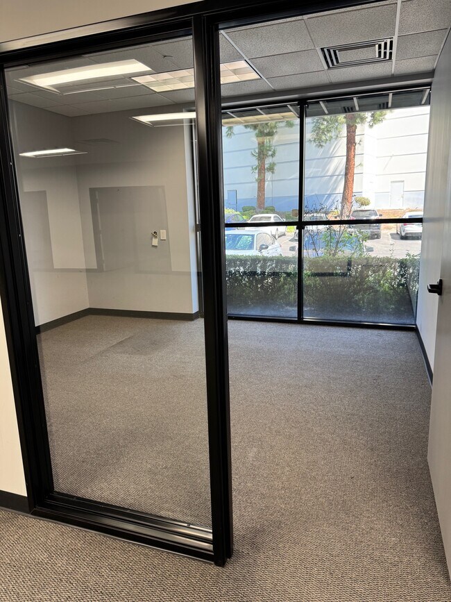

Current Lease Availabilities
Property Detail
2259 Ward Ave
630-0-141-055
LOT: 3 REF: 48 PM 86
Lightindustrial
Ventura
GI
California
C and X Area of minimal flood hazard, usually depicted on FIRMs as above the 500-year flood level.
3
2024
2.09 AC
2025
Moorpark/Simi Val
007700
Los Angeles
46,213 SF
Oxnard-Thousand Oaks-Ventura, CA
NEARBY LISTINGS FOR SALE OR LEASE
DEMOGRAPHICS near 2259 Ward Ave
1 mile
3 mile
5 mile
2025 Total Population
11,690
66,635
120,658
2030 Population
11,579
66,015
119,648
Pop Growth 2025-2030
(0.95%)
(0.93%)
(0.84%)
Average Age
39
41
42
2025 Total Households
3,947
22,014
40,220
HH Growth 2025-2030
(1.06%)
(1.15%)
(1.02%)
Median Household Inc
$104,792
$111,668
$128,486
Avg Household Size
2.80
2.90
2.90
2025 Avg HH Vehicles
2.00
2.00
2.00
Median Home Value
$736,081
$786,805
$826,616
Median Year Built
1982
1979
1981
Nearby Places
Map Layers
Map Styles
 Street
 Aerial
Transit
 Traffic
 Biking
Places
Listings with unknown addresses are not visible on the map
- Restaurants
- Banks
- Shops
- Fitness
- Groceries
PUBLIC TRANSPORTATION
COMMUTER RAIL
Simi Valley (Ventura County Line - Southern California Regional Rail Authority (Metrolink))
Drive
Walk
Distance
Simi Valley (Ventura County Line - Southern California Regional Rail Authority (Metrolink))
10 min
5.6 mi
Moorpark (Ventura County Line - Southern California Regional Rail Authority (Metrolink))
Drive
Walk
Distance
Moorpark (Ventura County Line - Southern California Regional Rail Authority (Metrolink))
12 min
7.7 mi
AIRPORT
Bob Hope
Drive
Walk
Distance
Bob Hope
37 min
28.7 mi
Freight Ports
The Port of Hueneme
Drive
Walk
Distance
The Port of Hueneme
47 min
28.7 mi
Nearby Properties
Address
Land Use
TOTAL SIZE
Lot Size
Zoning
Address
Land Use
TOTAL SIZE
Lot Size
Zoning
4.77 AC
CO
Address
Land Use
TOTAL SIZE
Lot Size
Zoning
99.98 AC
OS40AC
Address
Land Use
TOTAL SIZE
Lot Size
Zoning
286,132 SF
15.07 AC
RVH-.
Address
Land Use
TOTAL SIZE
Lot Size
Zoning
28,561 SF
43.55 AC
BP-S
Address
Land Use
TOTAL SIZE
Lot Size
Zoning
45,594 SF
15.99 AC
RVH-2
Address
Land Use
TOTAL SIZE
Lot Size
Zoning
265,102 SF
12.30 AC
Address
Land Use
TOTAL SIZE
Lot Size
Zoning
238,578 SF
10.85 AC
Address
Land Use
TOTAL SIZE
Lot Size
Zoning
27,916 SF
8.06 AC
RVH-.
Address
Land Use
TOTAL SIZE
Lot Size
Zoning
276,943 SF
24.62 AC
RVH-
Address
Land Use
TOTAL SIZE
Lot Size
Zoning
71,166 SF
12.44 AC
GI
Address
Land Use
TOTAL SIZE
Lot Size
Zoning
99,340 SF
5.96 AC
RVH-0
Address
Land Use
TOTAL SIZE
Lot Size
Zoning
21,873 SF
17.04 AC
Address
Land Use
TOTAL SIZE
Lot Size
Zoning
14.66 AC
Address
Land Use
TOTAL SIZE
Lot Size
Zoning
75,104 SF
4.95 AC
RVH-.
Address
Land Use
TOTAL SIZE
Lot Size
Zoning
18,820 SF
11.46 AC
Address
Land Use
TOTAL SIZE
Lot Size
Zoning
89,902 SF
4.03 AC
Address
Land Use
TOTAL SIZE
Lot Size
Zoning
14,120 SF
8.22 AC
Address
Land Use
TOTAL SIZE
Lot Size
Zoning
20,660 SF
8.15 AC
Address
Land Use
TOTAL SIZE
Lot Size
Zoning
66,724 SF
2.83 AC
Address
Land Use
TOTAL SIZE
Lot Size
Zoning
18,889 SF
10.29 AC
A1
Address
Land Use
TOTAL SIZE
Lot Size
Zoning
Address
Land Use
TOTAL SIZE
Lot Size
Zoning
10,368 SF
13.36 AC
Address
Land Use
TOTAL SIZE
Lot Size
Zoning
3.27 AC
CPD
Address
Land Use
TOTAL SIZE
Lot Size
Zoning
71,396 SF
12.11 AC
GI
Address
Land Use
TOTAL SIZE
Lot Size
Zoning
78,222 SF
5.45 AC
Address
Land Use
TOTAL SIZE
Lot Size
Zoning
2.12 AC
Address
Land Use
TOTAL SIZE
Lot Size
Zoning
Address
Land Use
TOTAL SIZE
Lot Size
Zoning
2.24 AC
The World's #1 Commercial Real Estate Marketplace
Connect with us
© 2026 CoStar Group
The information above has been obtained from sources believed reliable. While we do not doubt its accuracy we have not verified it and make no guarantee, warranty or representation about it. It is your responsibility to independently confirm its accuracy and completeness. Any projections, opinions, assumptions, or estimates used are for example only and do not represent the current or future performance of the property. The value of this transaction to you depends on tax and other factors which should be evaluated by your tax, financial, and legal advisors. You and your advisors should conduct a careful, independent investigation of the property to determine to your satisfaction the suitability of the property for your needs.