Property Record
23 Highway 51 S, Hernando, MS 38632


Save to a Folder
{{folder.Name}}
{{folder.ListingIds.length}} Properties
{{folder.ListingIds.length}} Property
Create a New Folder
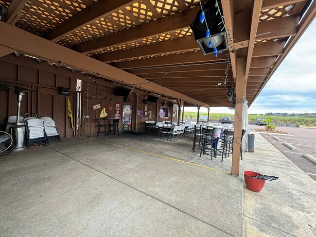
Property Detail
23 Highway 51 S
3081012300000100
TEAGUE COMMERCIAL LOT 1
Commercialnec
DESOTO
C-2
Mississippi
B and X Area of moderate flood hazard, usually the area between the limits of the 100-year and 500-year floods.
1
2025
0.78 AC
2025
Outlying DeSoto Cnty
071121
Memphis
2,893 SF
Memphis, TN-MS-AR
NEARBY LISTINGS FOR SALE OR LEASE
DEMOGRAPHICS near 23 Highway 51 S
1 mile
3 mile
5 mile
2025 Total Population
1,702
16,636
38,806
2030 Population
1,797
17,360
40,833
Pop Growth 2025-2030
+ 5.58%
+ 4.35%
+ 5.22%
Average Age
38
39
39
2025 Total Households
605
6,010
13,893
HH Growth 2025-2030
+ 5.62%
+ 4.41%
+ 5.27%
Median Household Inc
$78,954
$75,489
$93,996
Avg Household Size
2.80
2.70
2.70
2025 Avg HH Vehicles
2.00
2.00
2.00
Median Home Value
$341,129
$332,918
$350,463
Median Year Built
2003
1999
2001
Nearby Places
Map Layers
Map Styles
 Street
 Aerial
Layers
 Traffic
 Biking
Places
Listings with unknown addresses are not visible on the map
- Restaurants
- Banks
- Shops
- Fitness
- Groceries
PUBLIC TRANSPORTATION
AIRPORT
Memphis International
Drive
Walk
Distance
Memphis International
21 min
15.5 mi
SALE & LEASE HISTORY
LISTING DATE
SALE/LEASE

Nov 19, 2024
For Lease
Nov 08, 2024
For Sale
Nearby Properties
Address
Land Use
TOTAL SIZE
Lot Size
Zoning
Address
Land Use
TOTAL SIZE
Lot Size
Zoning
436,932 SF
153.19 AC
M-1
Address
Land Use
TOTAL SIZE
Lot Size
Zoning
19,367 SF
20.34 AC
PUD
Address
Land Use
TOTAL SIZE
Lot Size
Zoning
29,738 SF
15 AC
C-2
Address
Land Use
TOTAL SIZE
Lot Size
Zoning
120,095 SF
19.42 AC
C-2
Address
Land Use
TOTAL SIZE
Lot Size
Zoning
64,797 SF
13.91 AC
M-1
Address
Land Use
TOTAL SIZE
Lot Size
Zoning
13,533 SF
1.50 AC
PUD
Address
Land Use
TOTAL SIZE
Lot Size
Zoning
71,484 SF
6.45 AC
C-2
Address
Land Use
TOTAL SIZE
Lot Size
Zoning
12,002 SF
1.15 AC
M-1
Address
Land Use
TOTAL SIZE
Lot Size
Zoning
45,515 SF
2.60 AC
C-2
Address
Land Use
TOTAL SIZE
Lot Size
Zoning
15.10 AC
C-2
Address
Land Use
TOTAL SIZE
Lot Size
Zoning
24,163 SF
1.97 AC
C-2
Address
Land Use
TOTAL SIZE
Lot Size
Zoning
12,201 SF
3.44 AC
M-1
Address
Land Use
TOTAL SIZE
Lot Size
Zoning
23,530 SF
9.35 AC
M-1
Address
Land Use
TOTAL SIZE
Lot Size
Zoning
35,000 SF
4.72 AC
PUD
Address
Land Use
TOTAL SIZE
Lot Size
Zoning
30,009 SF
4.31 AC
M-1
Address
Land Use
TOTAL SIZE
Lot Size
Zoning
20,386 SF
3.24 AC
C-4
Address
Land Use
TOTAL SIZE
Lot Size
Zoning
40,831 SF
6.11 AC
C-2
Address
Land Use
TOTAL SIZE
Lot Size
Zoning
8,076 SF
4.04 AC
C-2
Address
Land Use
TOTAL SIZE
Lot Size
Zoning
21,206 SF
1.25 AC
C-4
Address
Land Use
TOTAL SIZE
Lot Size
Zoning
32,495 SF
6.61 AC
RM-6
Address
Land Use
TOTAL SIZE
Lot Size
Zoning
9,450 SF
2.49 AC
C-2
Address
Land Use
TOTAL SIZE
Lot Size
Zoning
20,120 SF
3.43 AC
PUD
Address
Land Use
TOTAL SIZE
Lot Size
Zoning
10,200 SF
3.69 AC
C-2
Address
Land Use
TOTAL SIZE
Lot Size
Zoning
17,278 SF
1.73 AC
C-2
Address
Land Use
TOTAL SIZE
Lot Size
Zoning
63,226 SF
3 AC
M-1
Address
Land Use
TOTAL SIZE
Lot Size
Zoning
6,720 SF
1.40 AC
C-2
Address
Land Use
TOTAL SIZE
Lot Size
Zoning
15,360 SF
1.67 AC
C-2
Address
Land Use
TOTAL SIZE
Lot Size
Zoning
22,650 SF
5 AC
M-1
Address
Land Use
TOTAL SIZE
Lot Size
Zoning
6,756 SF
2.90 AC
RM-6
Address
Land Use
TOTAL SIZE
Lot Size
Zoning
17,905 SF
1.52 AC
C-2
The World's #1 Commercial Real Estate Marketplace
Connect with us
© 2026 CoStar Group
The information above has been obtained from sources believed reliable. While we do not doubt its accuracy we have not verified it and make no guarantee, warranty or representation about it. It is your responsibility to independently confirm its accuracy and completeness. Any projections, opinions, assumptions, or estimates used are for example only and do not represent the current or future performance of the property. The value of this transaction to you depends on tax and other factors which should be evaluated by your tax, financial, and legal advisors. You and your advisors should conduct a careful, independent investigation of the property to determine to your satisfaction the suitability of the property for your needs.