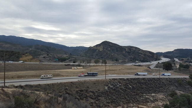
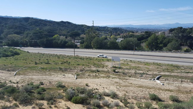
Property Record
23034 Parkview Dr, Newhall, CA 91321


NEARBY LISTINGS FOR SALE OR LEASE
Property Detail
23034 Parkview Dr
Los Angeles-Long Beach-Glendale, CA
St John Subdivision
2833-017-022
*TR=ST JOHN SUB*LOT COM AT INTERSECTION OF C/L OF SIERRA HWY (VAC) PER F M 21221 AND 21223 WITH S LINE OF LOT 37 TH NE ON SD C/L TO SE LINE OF SIERRA HWY TH SW AND FOLLOWING SD HWY TO SD S LINE TH E TO BEG POR OF LOT 37
Commercialacreage
Los Angeles
X
California
06037C1032G
37
2024
0.72 AC
2025
Santa Clarita Valley
920343
Los Angeles
DEMOGRAPHICS near 23034 Parkview Dr
1 Mile
3 Mile
5 Mile
2024 Total Population
7,051
35,244
162,074
2029 Population
6,813
34,085
156,226
Pop Growth 2024-2029
(3.38%)
(3.29%)
(3.61%)
Average Age
35
39
40
2024 Total Households
2,112
11,368
53,656
HH Growth 2024-2029
(3.65%)
(3.46%)
(3.83%)
Median Household Inc
$73,756
$87,587
$95,581
Avg Household Size
3.20
3.00
2.90
2024 Avg HH Vehicles
2.00
2.00
2.00
Median Home Value
$616,622
$714,898
$683,433
Median Year Built
1985
1980
1984
Nearby Places
Map Layers
Map Styles
 Street
 Aerial
- Restaurants
- Banks
- Shops
- Fitness
- Groceries
PUBLIC TRANSPORTATION
COMMUTER RAIL
Newhall (Antelope Valley Line - Southern California Regional Rail Authority (Metrolink))
DRIVE
WALK
Distance
Newhall (Antelope Valley Line - Southern California Regional Rail Authority (Metrolink))
5 min
1.9 mi
Via Princessa (Antelope Valley Line - Southern California Regional Rail Authority (Metrolink))
DRIVE
WALK
Distance
Via Princessa (Antelope Valley Line - Southern California Regional Rail Authority (Metrolink))
7 min
4.0 mi
AIRPORT
Bob Hope
DRIVE
WALK
Distance
Bob Hope
22 min
16.0 mi
Los Angeles International
DRIVE
WALK
Distance
Los Angeles International
43 min
33.0 mi
Freight Ports
Port of Long Beach
DRIVE
WALK
Distance
Port of Long Beach
65 min
52.5 mi
SALE & LEASE HISTORY
LISTING DATE
SALE/LEASE

Sep 24, 2016
For Sale
Nearby Properties
Address
Land Use
TOTAL SIZE
Lot Size
Zoning
Address
Land Use
TOTAL SIZE
Lot Size
Zoning
161,103 SF
4.68 AC
SCUR4
Address
Land Use
TOTAL SIZE
Lot Size
Zoning
143,163 SF
10.48 AC
SCUR3
Address
Land Use
TOTAL SIZE
Lot Size
Zoning
137,361 SF
7.38 AC
SCUR3
Address
Land Use
TOTAL SIZE
Lot Size
Zoning
144,152 SF
2.39 AC
LCA22-A21*
Address
Land Use
TOTAL SIZE
Lot Size
Zoning
141,572 SF
10.67 AC
SCCR
Address
Land Use
TOTAL SIZE
Lot Size
Zoning
180,584 SF
6.35 AC
SCUR3
Address
Land Use
TOTAL SIZE
Lot Size
Zoning
209,119 SF
3.24 AC
SCBP
Address
Land Use
TOTAL SIZE
Lot Size
Zoning
169,585 SF
9.16 AC
SCBP
Address
Land Use
TOTAL SIZE
Lot Size
Zoning
187,990 SF
9.18 AC
SCBP
Address
Land Use
TOTAL SIZE
Lot Size
Zoning
88,081 SF
4.56 AC
SCCR
Address
Land Use
TOTAL SIZE
Lot Size
Zoning
37,310 SF
5.46 AC
SCCR
Address
Land Use
TOTAL SIZE
Lot Size
Zoning
75,251 SF
1.71 AC
SCUR3
Address
Land Use
TOTAL SIZE
Lot Size
Zoning
57,232 SF
0.27 AC
SCSP
Address
Land Use
TOTAL SIZE
Lot Size
Zoning
135,228 SF
7.80 AC
SCUR3
Address
Land Use
TOTAL SIZE
Lot Size
Zoning
42,767 SF
0.26 AC
SCSP
Address
Land Use
TOTAL SIZE
Lot Size
Zoning
33,578 SF
SCCP
Address
Land Use
TOTAL SIZE
Lot Size
Zoning
38,956 SF
2.50 AC
SCCR
Address
Land Use
TOTAL SIZE
Lot Size
Zoning
188,057 SF
2.70 AC
SCCP
Address
Land Use
TOTAL SIZE
Lot Size
Zoning
42,116 SF
2.72 AC
SCPI
Address
Land Use
TOTAL SIZE
Lot Size
Zoning
48,867 SF
1.26 AC
SCUR2
Address
Land Use
TOTAL SIZE
Lot Size
Zoning
110,126 SF
6.31 AC
SCBP
Address
Land Use
TOTAL SIZE
Lot Size
Zoning
125,282 SF
8.17 AC
SCPI
Address
Land Use
TOTAL SIZE
Lot Size
Zoning
41,192 SF
3.01 AC
SCSP
Address
Land Use
TOTAL SIZE
Lot Size
Zoning
22,487 SF
2.10 AC
SCCR
Address
Land Use
TOTAL SIZE
Lot Size
Zoning
97,613 SF
4.21 AC
SCBP
Address
Land Use
TOTAL SIZE
Lot Size
Zoning
83,136 SF
4.73 AC
SCUR3
Address
Land Use
TOTAL SIZE
Lot Size
Zoning
12,480 SF
1.50 AC
SCCR
Address
Land Use
TOTAL SIZE
Lot Size
Zoning
24,663 SF
1.79 AC
SCMX-C
The World's #1 Commercial Real Estate Marketplace
Connect with us
© 2026 CoStar Group
The information above has been obtained from sources believed reliable. While we do not doubt its accuracy we have not verified it and make no guarantee, warranty or representation about it. It is your responsibility to independently confirm its accuracy and completeness. Any projections, opinions, assumptions, or estimates used are for example only and do not represent the current or future performance of the property. The value of this transaction to you depends on tax and other factors which should be evaluated by your tax, financial, and legal advisors. You and your advisors should conduct a careful, independent investigation of the property to determine to your satisfaction the suitability of the property for your needs.