Property Record
2329 N 39Th St, Waco, TX 76708
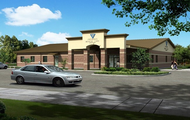

Property Detail
2329 N 39Th St
48-027603-000300-0
MAGID M A LOT 3 BLOCK 1 ACRES 1.636
Commercialnec
McLennan
R1B
Texas
B and X Area of moderate flood hazard, usually the area between the limits of the 100-year and 500-year floods.
3
2024
1.64 AC
2025
Waco
002700
Other Market Areas
13,188 SF
Waco, TX
NEARBY LISTINGS FOR SALE OR LEASE
DEMOGRAPHICS near 2329 N 39Th St
1 mile
3 mile
5 mile
2024 Total Population
11,469
69,088
127,009
2029 Population
11,716
71,198
131,275
Pop Growth 2024-2029
+ 2.15%
+ 3.05%
+ 3.36%
Average Age
37
37
36
2024 Total Households
4,408
26,846
48,336
HH Growth 2024-2029
+ 2.09%
+ 3.00%
+ 3.44%
Median Household Inc
$56,558
$50,606
$47,598
Avg Household Size
2.50
2.50
2.40
2024 Avg HH Vehicles
2.00
2.00
2.00
Median Home Value
$219,630
$205,575
$210,693
Median Year Built
1963
1965
1973
Nearby Places
Map Layers
Map Styles
 Street
 Aerial
Transit
 Traffic
 Biking
Places
Listings with unknown addresses are not visible on the map
- Restaurants
- Banks
- Shops
- Fitness
- Groceries
PUBLIC TRANSPORTATION
AIRPORT
Waco Regional
Drive
Walk
Distance
Waco Regional
18 min
6.8 mi
Nearby Properties
Address
Land Use
TOTAL SIZE
Lot Size
Zoning
Address
Land Use
TOTAL SIZE
Lot Size
Zoning
452,498 SF
39.43 AC
C-2
Address
Land Use
TOTAL SIZE
Lot Size
Zoning
462,987 SF
36.18 AC
C-3
Address
Land Use
TOTAL SIZE
Lot Size
Zoning
16,678 SF
19.91 AC
C3
Address
Land Use
TOTAL SIZE
Lot Size
Zoning
10,334 SF
29.45 AC
R1B
Address
Land Use
TOTAL SIZE
Lot Size
Zoning
214,351 SF
19.37 AC
R3B
Address
Land Use
TOTAL SIZE
Lot Size
Zoning
108,428 SF
9.27 AC
CS
Address
Land Use
TOTAL SIZE
Lot Size
Zoning
211,432 SF
13.86 AC
O2
Address
Land Use
TOTAL SIZE
Lot Size
Zoning
186,924 SF
9.14 AC
O-2
Address
Land Use
TOTAL SIZE
Lot Size
Zoning
181,423 SF
16.03 AC
R1B
Address
Land Use
TOTAL SIZE
Lot Size
Zoning
60,536 SF
0.93 AC
Address
Land Use
TOTAL SIZE
Lot Size
Zoning
223,307 SF
27.28 AC
O-2,
Address
Land Use
TOTAL SIZE
Lot Size
Zoning
189,996 SF
13.98 AC
O2
Address
Land Use
TOTAL SIZE
Lot Size
Zoning
225,762 SF
29.30 AC
C3
Address
Land Use
TOTAL SIZE
Lot Size
Zoning
167,206 SF
11.22 AC
R-3C
Address
Land Use
TOTAL SIZE
Lot Size
Zoning
238,580 SF
12.25 AC
R-3E
Address
Land Use
TOTAL SIZE
Lot Size
Zoning
228,638 SF
14.56 AC
O-2
Address
Land Use
TOTAL SIZE
Lot Size
Zoning
117,646 SF
3.88 AC
2007 TIF
Address
Land Use
TOTAL SIZE
Lot Size
Zoning
146,635 SF
8.36 AC
R-3E
Address
Land Use
TOTAL SIZE
Lot Size
Zoning
80,890 SF
13.08 AC
O1
Address
Land Use
TOTAL SIZE
Lot Size
Zoning
205,184 SF
18.71 AC
R3D
Address
Land Use
TOTAL SIZE
Lot Size
Zoning
10.26 AC
C2
Address
Land Use
TOTAL SIZE
Lot Size
Zoning
111,840 SF
38.94 AC
R1B
Address
Land Use
TOTAL SIZE
Lot Size
Zoning
158,050 SF
17.19 AC
R-2
Address
Land Use
TOTAL SIZE
Lot Size
Zoning
137,233 SF
3.51 AC
O2
Address
Land Use
TOTAL SIZE
Lot Size
Zoning
201,887 SF
23.33 AC
Address
Land Use
TOTAL SIZE
Lot Size
Zoning
94,262 SF
8.57 AC
CS
Address
Land Use
TOTAL SIZE
Lot Size
Zoning
203,384 SF
16.28 AC
C-2
Address
Land Use
TOTAL SIZE
Lot Size
Zoning
50,570 SF
6.25 AC
2007 TIF
Address
Land Use
TOTAL SIZE
Lot Size
Zoning
102,910 SF
6.38 AC
TIF2
Address
Land Use
TOTAL SIZE
Lot Size
Zoning
93,623 SF
4.26 AC
C2
The World's #1 Commercial Real Estate Marketplace
Connect with us
© 2026 CoStar Group
The information above has been obtained from sources believed reliable. While we do not doubt its accuracy we have not verified it and make no guarantee, warranty or representation about it. It is your responsibility to independently confirm its accuracy and completeness. Any projections, opinions, assumptions, or estimates used are for example only and do not represent the current or future performance of the property. The value of this transaction to you depends on tax and other factors which should be evaluated by your tax, financial, and legal advisors. You and your advisors should conduct a careful, independent investigation of the property to determine to your satisfaction the suitability of the property for your needs.