Property Record
24196 E Highway 51, Broken Arrow, OK 74014

Property Detail
24196 E Highway 51
Tulsa, OK
ONETA SQUARE BLOCK 1 LOT 1 24767 HWY 51 BROKEN ARROW OK LOCATION OF BPP ACCOUNTS 94535, 83165, AND 93283
730082346
WAGONER
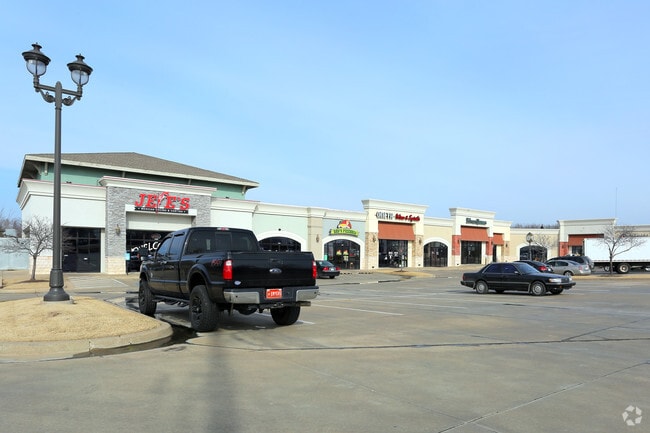
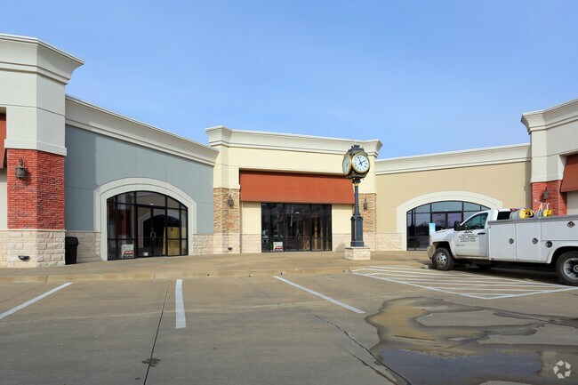
Stripcommercialcenter
Oklahoma
B and X Area of moderate flood hazard, usually the area between the limits of the 100-year and 500-year floods.
1
2025
2.50 AC
2025
Wagoner County
030510
Tulsa
23,865 SF
NEARBY LISTINGS FOR SALE OR LEASE
DEMOGRAPHICS near 24196 E Highway 51
1 mile
3 mile
5 mile
2025 Total Population
3,280
21,963
51,497
2030 Population
3,578
24,190
55,788
Pop Growth 2025-2030
+ 9.09%
+ 10.14%
+ 8.33%
Average Age
40
41
40
2025 Total Households
1,167
7,847
18,893
HH Growth 2025-2030
+ 8.83%
+ 9.84%
+ 7.99%
Median Household Inc
$98,197
$101,039
$88,676
Avg Household Size
2.80
2.70
2.70
2025 Avg HH Vehicles
3.00
2.00
2.00
Median Home Value
$291,289
$299,740
$277,662
Median Year Built
1987
2002
1994
Nearby Places
Map Layers
Map Styles
 Street
 Aerial
Transit
 Traffic
 Biking
Places
Listings with unknown addresses are not visible on the map
- Restaurants
- Banks
- Shops
- Fitness
- Groceries
PUBLIC TRANSPORTATION
AIRPORT
Tulsa International
Drive
Walk
Distance
Tulsa International
30 min
21.5 mi
Freight Ports
Tulsa Port of Inola
Drive
Walk
Distance
Tulsa Port of Inola
36 min
25.7 mi
SALE & LEASE HISTORY
LISTING DATE
SALE/LEASE

Feb 16, 2017
For Lease
Nearby Properties
Address
Land Use
TOTAL SIZE
Lot Size
Zoning
Address
Land Use
TOTAL SIZE
Lot Size
Zoning
Address
Land Use
TOTAL SIZE
Lot Size
Zoning
18,820 SF
13.42 AC
Address
Land Use
TOTAL SIZE
Lot Size
Zoning
1,936 SF
4.74 AC
Address
Land Use
TOTAL SIZE
Lot Size
Zoning
40,560 SF
14.96 AC
Address
Land Use
TOTAL SIZE
Lot Size
Zoning
14,625 SF
42.36 AC
Address
Land Use
TOTAL SIZE
Lot Size
Zoning
11,220 SF
8.58 AC
Address
Land Use
TOTAL SIZE
Lot Size
Zoning
319 SF
8.23 AC
Address
Land Use
TOTAL SIZE
Lot Size
Zoning
810 SF
56.20 AC
Address
Land Use
TOTAL SIZE
Lot Size
Zoning
1,080 SF
19.80 AC
Address
Land Use
TOTAL SIZE
Lot Size
Zoning
5,640 SF
1.20 AC
Address
Land Use
TOTAL SIZE
Lot Size
Zoning
5,924 SF
135.96 AC
Address
Land Use
TOTAL SIZE
Lot Size
Zoning
2,000 SF
1.55 AC
Address
Land Use
TOTAL SIZE
Lot Size
Zoning
10,000 SF
3 AC
Address
Land Use
TOTAL SIZE
Lot Size
Zoning
9,250 SF
6.89 AC
Address
Land Use
TOTAL SIZE
Lot Size
Zoning
1,500 SF
0.78 AC
Address
Land Use
TOTAL SIZE
Lot Size
Zoning
61,167 SF
3.68 AC
Address
Land Use
TOTAL SIZE
Lot Size
Zoning
2,520 SF
132.56 AC
Address
Land Use
TOTAL SIZE
Lot Size
Zoning
154 SF
1.35 AC
Address
Land Use
TOTAL SIZE
Lot Size
Zoning
8,000 SF
7.18 AC
Address
Land Use
TOTAL SIZE
Lot Size
Zoning
1,446 SF
17.60 AC
Address
Land Use
TOTAL SIZE
Lot Size
Zoning
18,120 SF
2 AC
Address
Land Use
TOTAL SIZE
Lot Size
Zoning
6,336 SF
3.21 AC
Address
Land Use
TOTAL SIZE
Lot Size
Zoning
168 SF
17.77 AC
Address
Land Use
TOTAL SIZE
Lot Size
Zoning
27,966 SF
4.66 AC
Address
Land Use
TOTAL SIZE
Lot Size
Zoning
Address
Land Use
TOTAL SIZE
Lot Size
Zoning
6,926 SF
1.99 AC
Address
Land Use
TOTAL SIZE
Lot Size
Zoning
The World's #1 Commercial Real Estate Marketplace
Connect with us
© 2026 CoStar Group
The information above has been obtained from sources believed reliable. While we do not doubt its accuracy we have not verified it and make no guarantee, warranty or representation about it. It is your responsibility to independently confirm its accuracy and completeness. Any projections, opinions, assumptions, or estimates used are for example only and do not represent the current or future performance of the property. The value of this transaction to you depends on tax and other factors which should be evaluated by your tax, financial, and legal advisors. You and your advisors should conduct a careful, independent investigation of the property to determine to your satisfaction the suitability of the property for your needs.