Property Record
2501 Ming Ave, Bakersfield, CA 93304


Property Detail
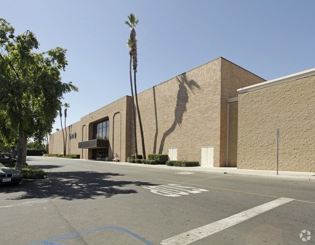
2501 Ming Ave
023-521-15-00-9
SECTION 12 , TOWNSHIP 30 , RANGE 27 , QUARTER
Departmentstore
Kern
C-2
California
B and X Area of moderate flood hazard, usually the area between the limits of the 100-year and 500-year floods.
2.11 AC
2024
South Bakersfield
2025
Bakersfield
002901
Bakersfield-Delano, CA
154,581 SF
NEARBY LISTINGS FOR SALE OR LEASE
DEMOGRAPHICS near 2501 Ming Ave
1 mile
3 mile
5 mile
2025 Total Population
22,153
152,640
330,733
2030 Population
22,303
153,714
334,990
Pop Growth 2025-2030
+ 0.68%
+ 0.70%
+ 1.29%
Average Age
34
35
35
2025 Total Households
7,027
49,352
103,009
HH Growth 2025-2030
+ 0.67%
+ 0.73%
+ 1.32%
Median Household Inc
$57,731
$56,502
$63,874
Avg Household Size
3.10
3.00
3.10
2025 Avg HH Vehicles
2.00
2.00
2.00
Median Home Value
$265,530
$276,393
$326,674
Median Year Built
1967
1973
1979
Nearby Places
Map Layers
Map Styles
 Street
 Aerial
Layers
 Traffic
 Biking
Places
Listings with unknown addresses are not visible on the map
- Restaurants
- Banks
- Shops
- Fitness
- Groceries
PUBLIC TRANSPORTATION
COMMUTER RAIL
Drive
Walk
Distance
10 min
4.2 mi
AIRPORT
Meadows Field
Drive
Walk
Distance
Meadows Field
19 min
8.7 mi
Nearby Properties
Address
Land Use
TOTAL SIZE
Lot Size
Zoning
Address
Land Use
TOTAL SIZE
Lot Size
Zoning
23,615 SF
39.38 AC
C2
Address
Land Use
TOTAL SIZE
Lot Size
Zoning
Address
Land Use
TOTAL SIZE
Lot Size
Zoning
114,500 SF
12.02 AC
C-2
Address
Land Use
TOTAL SIZE
Lot Size
Zoning
16.64 AC
Address
Land Use
TOTAL SIZE
Lot Size
Zoning
185,181 SF
14.67 AC
C2
Address
Land Use
TOTAL SIZE
Lot Size
Zoning
188,976 SF
4.92 AC
Address
Land Use
TOTAL SIZE
Lot Size
Zoning
161,539 SF
4 AC
CO
Address
Land Use
TOTAL SIZE
Lot Size
Zoning
218,345 SF
19.54 AC
PCD
Address
Land Use
TOTAL SIZE
Lot Size
Zoning
233,512 SF
9.19 AC
R-3
Address
Land Use
TOTAL SIZE
Lot Size
Zoning
66,849 SF
5.32 AC
CO
Address
Land Use
TOTAL SIZE
Lot Size
Zoning
62,941 SF
8.79 AC
M-1
Address
Land Use
TOTAL SIZE
Lot Size
Zoning
79,325 SF
7.77 AC
C-2
Address
Land Use
TOTAL SIZE
Lot Size
Zoning
71,000 SF
5.89 AC
C-2
Address
Land Use
TOTAL SIZE
Lot Size
Zoning
193,524 SF
2.34 AC
C-O
Address
Land Use
TOTAL SIZE
Lot Size
Zoning
127,308 SF
8.25 AC
R-2
Address
Land Use
TOTAL SIZE
Lot Size
Zoning
78,140 SF
2.52 AC
CC
Address
Land Use
TOTAL SIZE
Lot Size
Zoning
140,210 SF
1.74 AC
C-2
Address
Land Use
TOTAL SIZE
Lot Size
Zoning
105,513 SF
1.60 AC
C-B
Address
Land Use
TOTAL SIZE
Lot Size
Zoning
11,780 SF
11.25 AC
C1
Address
Land Use
TOTAL SIZE
Lot Size
Zoning
79,987 SF
3.22 AC
SP
Address
Land Use
TOTAL SIZE
Lot Size
Zoning
115,267 SF
9.14 AC
C-2
Address
Land Use
TOTAL SIZE
Lot Size
Zoning
23,600 SF
8.17 AC
C2
Address
Land Use
TOTAL SIZE
Lot Size
Zoning
75,569 SF
2.32 AC
C-O
Address
Land Use
TOTAL SIZE
Lot Size
Zoning
5,756 SF
9.70 AC
C-2-D
Address
Land Use
TOTAL SIZE
Lot Size
Zoning
147,451 SF
9.55 AC
C2
Address
Land Use
TOTAL SIZE
Lot Size
Zoning
0.96 AC
Address
Land Use
TOTAL SIZE
Lot Size
Zoning
104,647 SF
10.75 AC
C-2
Address
Land Use
TOTAL SIZE
Lot Size
Zoning
69,414 SF
4.47 AC
M1
Address
Land Use
TOTAL SIZE
Lot Size
Zoning
12,008 SF
7.18 AC
Address
Land Use
TOTAL SIZE
Lot Size
Zoning
123,844 SF
7.49 AC
R-3
The World's #1 Commercial Real Estate Marketplace
Connect with us
© 2026 CoStar Group
The information above has been obtained from sources believed reliable. While we do not doubt its accuracy we have not verified it and make no guarantee, warranty or representation about it. It is your responsibility to independently confirm its accuracy and completeness. Any projections, opinions, assumptions, or estimates used are for example only and do not represent the current or future performance of the property. The value of this transaction to you depends on tax and other factors which should be evaluated by your tax, financial, and legal advisors. You and your advisors should conduct a careful, independent investigation of the property to determine to your satisfaction the suitability of the property for your needs.