Property Record
2600 Stanford Ct, Fairfield, CA 94533
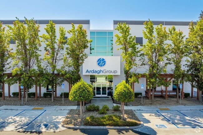

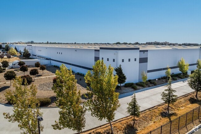
Property Detail
2600 Stanford Ct
0170-032-240
BK-BG 00-00
Warehouse
Solano
LTD IND
California
C and X Area of minimal flood hazard, usually depicted on FIRMs as above the 500-year flood level.
55.81 AC
2024
Fairfield
2025
North Bay/Santa Rosa
252317
Vallejo, CA
999,999 SF
NEARBY LISTINGS FOR SALE OR LEASE
DEMOGRAPHICS near 2600 Stanford Ct
1 mile
3 mile
5 mile
2025 Total Population
2,214
63,517
162,886
2030 Population
2,321
64,698
164,857
Pop Growth 2025-2030
+ 4.83%
+ 1.86%
+ 1.21%
Average Age
36
38
39
2025 Total Households
699
19,589
51,660
HH Growth 2025-2030
+ 5.01%
+ 1.97%
+ 1.25%
Median Household Inc
$152,236
$108,673
$98,559
Avg Household Size
3.20
3.10
2.90
2025 Avg HH Vehicles
3.00
2.00
2.00
Median Home Value
$599,601
$663,212
$660,000
Median Year Built
2003
1987
1983
Nearby Places
Map Layers
Map Styles
 Street
 Aerial
Layers
 Traffic
 Biking
Places
Listings with unknown addresses are not visible on the map
- Restaurants
- Banks
- Shops
- Fitness
- Groceries
PUBLIC TRANSPORTATION
COMMUTER RAIL
Drive
Walk
Distance
7 min
1.6 mi
Drive
Walk
Distance
13 min
5.5 mi
AIRPORT
Sacramento International
Drive
Walk
Distance
Sacramento International
59 min
43.6 mi
Freight Ports
Port of Richmond
Drive
Walk
Distance
Port of Richmond
57 min
40.9 mi
Nearby Properties
Address
Land Use
TOTAL SIZE
Lot Size
Zoning
Address
Land Use
TOTAL SIZE
Lot Size
Zoning
143,531 SF
13.45 AC
Address
Land Use
TOTAL SIZE
Lot Size
Zoning
144,972 SF
18.47 AC
Address
Land Use
TOTAL SIZE
Lot Size
Zoning
140,853 SF
25.35 AC
Address
Land Use
TOTAL SIZE
Lot Size
Zoning
177,945 SF
18.31 AC
Address
Land Use
TOTAL SIZE
Lot Size
Zoning
90,416 SF
6.03 AC
MULTIRE
Address
Land Use
TOTAL SIZE
Lot Size
Zoning
144,466 SF
8.07 AC
MULTI-RES
Address
Land Use
TOTAL SIZE
Lot Size
Zoning
285,080 SF
15.35 AC
Address
Land Use
TOTAL SIZE
Lot Size
Zoning
44,950 SF
12.88 AC
MG 1/2
Address
Land Use
TOTAL SIZE
Lot Size
Zoning
185,266 SF
11.83 AC
Address
Land Use
TOTAL SIZE
Lot Size
Zoning
66,447 SF
3.61 AC
Address
Land Use
TOTAL SIZE
Lot Size
Zoning
28,550 SF
4.31 AC
Address
Land Use
TOTAL SIZE
Lot Size
Zoning
4.84 AC
Address
Land Use
TOTAL SIZE
Lot Size
Zoning
89,698 SF
4.53 AC
Address
Land Use
TOTAL SIZE
Lot Size
Zoning
79,163 SF
2.88 AC
MULTI - RE
Address
Land Use
TOTAL SIZE
Lot Size
Zoning
50,368 SF
4.23 AC
Address
Land Use
TOTAL SIZE
Lot Size
Zoning
24,374 SF
5.68 AC
Address
Land Use
TOTAL SIZE
Lot Size
Zoning
19.04 AC
Address
Land Use
TOTAL SIZE
Lot Size
Zoning
103,290 SF
6.07 AC
Address
Land Use
TOTAL SIZE
Lot Size
Zoning
374,600 SF
15.78 AC
Address
Land Use
TOTAL SIZE
Lot Size
Zoning
42,350 SF
3.57 AC
Address
Land Use
TOTAL SIZE
Lot Size
Zoning
150,000 SF
7.57 AC
INDUSTRIAL
Address
Land Use
TOTAL SIZE
Lot Size
Zoning
32,947 SF
4.74 AC
Address
Land Use
TOTAL SIZE
Lot Size
Zoning
29,304 SF
2.18 AC
MULTIRE
Address
Land Use
TOTAL SIZE
Lot Size
Zoning
39,000 SF
1.51 AC
Address
Land Use
TOTAL SIZE
Lot Size
Zoning
1.33 AC
Address
Land Use
TOTAL SIZE
Lot Size
Zoning
121,665 SF
4.69 AC
COMML
Address
Land Use
TOTAL SIZE
Lot Size
Zoning
192,096 SF
9.83 AC
Address
Land Use
TOTAL SIZE
Lot Size
Zoning
6.18 AC
Address
Land Use
TOTAL SIZE
Lot Size
Zoning
80,951 SF
4.91 AC
PUD 18/AC
The World's #1 Commercial Real Estate Marketplace
Connect with us
© 2026 CoStar Group
The information above has been obtained from sources believed reliable. While we do not doubt its accuracy we have not verified it and make no guarantee, warranty or representation about it. It is your responsibility to independently confirm its accuracy and completeness. Any projections, opinions, assumptions, or estimates used are for example only and do not represent the current or future performance of the property. The value of this transaction to you depends on tax and other factors which should be evaluated by your tax, financial, and legal advisors. You and your advisors should conduct a careful, independent investigation of the property to determine to your satisfaction the suitability of the property for your needs.