Property Record
2603 N Kansas Expy, Springfield, MO 65803

Property Detail
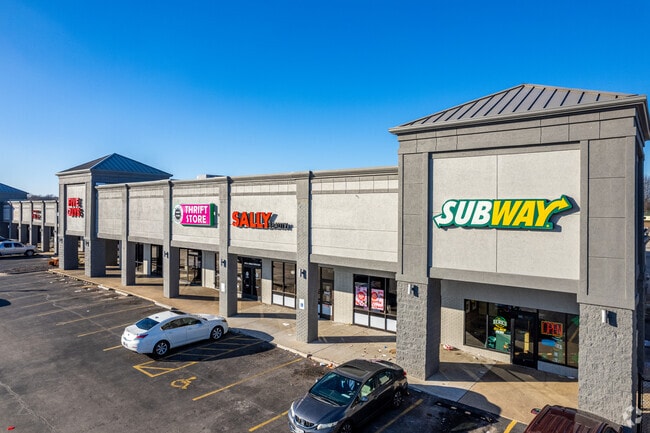
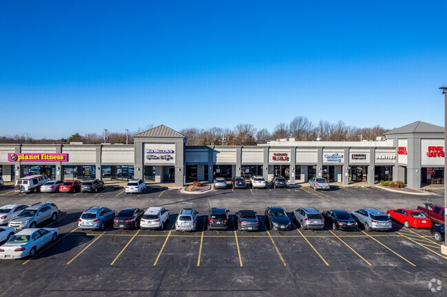
2603 N Kansas Expy
Springfield, MO
TOWN & COUNTRY 2ND AMND LOT 1 & N1/2 VAC ALLEY LY S & ADJ TO & LOT 2
88-13-03-401-063
Greene
Communitycenter
Missouri
INC
1-2
B and X Area of moderate flood hazard, usually the area between the limits of the 100-year and 500-year floods.
10.76 AC
2025
Northwest
2025
Springfield
005600
NEARBY LISTINGS FOR SALE OR LEASE
DEMOGRAPHICS near 2603 N Kansas Expy
1 mile
3 mile
5 mile
2025 Total Population
6,913
54,973
117,268
2030 Population
7,161
56,798
120,748
Pop Growth 2025-2030
+ 3.59%
+ 3.32%
+ 2.97%
Average Age
39
38
37
2025 Total Households
2,934
22,766
50,215
HH Growth 2025-2030
+ 3.75%
+ 3.56%
+ 3.25%
Median Household Inc
$42,020
$43,785
$46,017
Avg Household Size
2.30
2.20
2.10
2025 Avg HH Vehicles
2.00
2.00
2.00
Median Home Value
$126,923
$143,247
$161,772
Median Year Built
1970
1971
1974
Nearby Places
Map Layers
Map Styles
 Street
 Aerial
Layers
 Traffic
 Biking
Places
Listings with unknown addresses are not visible on the map
- Restaurants
- Banks
- Shops
- Fitness
- Groceries
PUBLIC TRANSPORTATION
AIRPORT
Springfield-Branson Ntl
Drive
Walk
Distance
Springfield-Branson Ntl
16 min
6.1 mi
Freight Ports
Tulsa Port of Inola
Drive
Walk
Distance
Tulsa Port of Inola
190 min
171.2 mi
SALE & LEASE HISTORY
LISTING DATE
SALE/LEASE

Sep 25, 2016
For Lease
Mar 29, 2017
For Lease
Nearby Properties
Address
Land Use
TOTAL SIZE
Lot Size
Zoning
Address
Land Use
TOTAL SIZE
Lot Size
Zoning
11.54 AC
Address
Land Use
TOTAL SIZE
Lot Size
Zoning
297,760 SF
4.22 AC
INC
Address
Land Use
TOTAL SIZE
Lot Size
Zoning
23.75 AC
Address
Land Use
TOTAL SIZE
Lot Size
Zoning
355,759 SF
2.23 AC
INC
Address
Land Use
TOTAL SIZE
Lot Size
Zoning
5.84 AC
INC
Address
Land Use
TOTAL SIZE
Lot Size
Zoning
5.47 AC
INC
Address
Land Use
TOTAL SIZE
Lot Size
Zoning
143,774 SF
5.85 AC
INC
Address
Land Use
TOTAL SIZE
Lot Size
Zoning
234,926 SF
9.41 AC
INC
Address
Land Use
TOTAL SIZE
Lot Size
Zoning
290,844 SF
20.78 AC
INC
Address
Land Use
TOTAL SIZE
Lot Size
Zoning
186,125 SF
21.09 AC
INC
Address
Land Use
TOTAL SIZE
Lot Size
Zoning
2.92 AC
INC
Address
Land Use
TOTAL SIZE
Lot Size
Zoning
93,916 SF
7.91 AC
INC
Address
Land Use
TOTAL SIZE
Lot Size
Zoning
167,705 SF
1.43 AC
INC
Address
Land Use
TOTAL SIZE
Lot Size
Zoning
29.42 AC
INC
Address
Land Use
TOTAL SIZE
Lot Size
Zoning
1.69 AC
INC
Address
Land Use
TOTAL SIZE
Lot Size
Zoning
136,629 SF
26.79 AC
INC
Address
Land Use
TOTAL SIZE
Lot Size
Zoning
16.08 AC
Address
Land Use
TOTAL SIZE
Lot Size
Zoning
75.07 AC
INC
Address
Land Use
TOTAL SIZE
Lot Size
Zoning
Address
Land Use
TOTAL SIZE
Lot Size
Zoning
107,429 SF
0.78 AC
INC
Address
Land Use
TOTAL SIZE
Lot Size
Zoning
Address
Land Use
TOTAL SIZE
Lot Size
Zoning
Address
Land Use
TOTAL SIZE
Lot Size
Zoning
12.39 AC
Address
Land Use
TOTAL SIZE
Lot Size
Zoning
78,239 SF
10.01 AC
INC
Address
Land Use
TOTAL SIZE
Lot Size
Zoning
213,437 SF
1.58 AC
INC
Address
Land Use
TOTAL SIZE
Lot Size
Zoning
Address
Land Use
TOTAL SIZE
Lot Size
Zoning
66,075 SF
1.94 AC
INC
Address
Land Use
TOTAL SIZE
Lot Size
Zoning
55,568 SF
2.13 AC
INC
Address
Land Use
TOTAL SIZE
Lot Size
Zoning
55,309 SF
0.69 AC
INC
The World's #1 Commercial Real Estate Marketplace
Connect with us
© 2026 CoStar Group
The information above has been obtained from sources believed reliable. While we do not doubt its accuracy we have not verified it and make no guarantee, warranty or representation about it. It is your responsibility to independently confirm its accuracy and completeness. Any projections, opinions, assumptions, or estimates used are for example only and do not represent the current or future performance of the property. The value of this transaction to you depends on tax and other factors which should be evaluated by your tax, financial, and legal advisors. You and your advisors should conduct a careful, independent investigation of the property to determine to your satisfaction the suitability of the property for your needs.