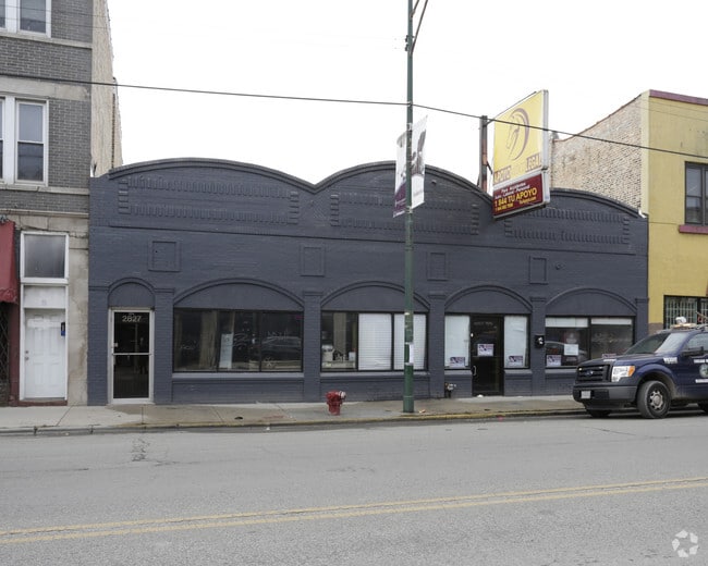
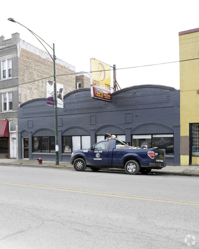
Property Record
2829 W Cermak Rd, Chicago, IL 60623
Property Detail
2829 W Cermak Rd
16-25-105-020-0000
(KOMAREKS)(22ND) STREET (SIXTH) ADD SUB OF PT OF SE S E SEC21 LYING W OF W LINE OF RW OF CH & W RY SE SE SEC 21-39-12
Commercialbuilding
Cook
B3-2
Illinois
B and X Area of moderate flood hazard, usually the area between the limits of the 100-year and 500-year floods.
1,2
2023
0.14 AC
2025
South Chicago
818000
Chicago
3,000 SF
Chicago-Naperville-Elgin, IL-IN
NEARBY LISTINGS FOR SALE OR LEASE
DEMOGRAPHICS near 2829 W Cermak Rd
1 mile
3 mile
5 mile
2025 Total Population
42,611
288,445
995,383
2030 Population
40,160
275,884
974,166
Pop Growth 2025-2030
(5.75%)
(4.35%)
(2.13%)
Average Age
36
36
37
2025 Total Households
12,408
101,587
405,130
HH Growth 2025-2030
(7.08%)
(4.38%)
(1.54%)
Median Household Inc
$49,746
$57,901
$82,654
Avg Household Size
2.80
2.60
2.30
2025 Avg HH Vehicles
1.00
1.00
1.00
Median Home Value
$267,583
$299,287
$354,316
Median Year Built
1947
1948
1957
Nearby Places
Map Layers
Map Styles
 Street
 Aerial
Layers
 Traffic
 Biking
Places
Listings with unknown addresses are not visible on the map
- Restaurants
- Banks
- Shops
- Fitness
- Groceries
PUBLIC TRANSPORTATION
TRANSIT/SUBWAY
California Station (Pink Line) (Pink Line - Chicago Transit Authority "L" Trains (The "L"))
Drive
Walk
Distance
California Station (Pink Line) (Pink Line - Chicago Transit Authority "L" Trains (The "L"))
1 min
5 min
0.2 mi
Kedzie Station (Pink Line) (Pink Line - Chicago Transit Authority "L" Trains (The "L"))
Drive
Walk
Distance
Kedzie Station (Pink Line) (Pink Line - Chicago Transit Authority "L" Trains (The "L"))
2 min
12 min
0.6 mi
Western Station (Pink Line) (Pink Line - Chicago Transit Authority "L" Trains (The "L"))
Drive
Walk
Distance
Western Station (Pink Line) (Pink Line - Chicago Transit Authority "L" Trains (The "L"))
2 min
14 min
0.7 mi
COMMUTER RAIL
Western Avenue Station (BNSF) (Burlington Northern-Santa Fe Railway Line - Northeast Illinois Regional Commuter Railroad (Metra))
Drive
Walk
Distance
Western Avenue Station (BNSF) (Burlington Northern-Santa Fe Railway Line - Northeast Illinois Regional Commuter Railroad (Metra))
3 min
1.1 mi
Cicero Station (Burlington Northern-Santa Fe Railway Line - Northeast Illinois Regional Commuter Railroad (Metra))
Drive
Walk
Distance
Cicero Station (Burlington Northern-Santa Fe Railway Line - Northeast Illinois Regional Commuter Railroad (Metra))
7 min
3.0 mi
AIRPORT
Chicago Midway International
Drive
Walk
Distance
Chicago Midway International
15 min
7.4 mi
Chicago O'Hare International
Drive
Walk
Distance
Chicago O'Hare International
53 min
19.9 mi
SALE & LEASE HISTORY
LISTING DATE
SALE/LEASE

Jan 10, 2022
For Lease
Nearby Properties
Address
Land Use
TOTAL SIZE
Lot Size
Zoning
Address
Land Use
TOTAL SIZE
Lot Size
Zoning
1.44 AC
PD 30
Address
Land Use
TOTAL SIZE
Lot Size
Zoning
73,700 SF
0.48 AC
RM-6.5
Address
Land Use
TOTAL SIZE
Lot Size
Zoning
474,979 SF
29.67 AC
PD 553
Address
Land Use
TOTAL SIZE
Lot Size
Zoning
0.85 AC
DS-3
Address
Land Use
TOTAL SIZE
Lot Size
Zoning
3.17 AC
PD 96
Address
Land Use
TOTAL SIZE
Lot Size
Zoning
3.29 AC
PD 522
Address
Land Use
TOTAL SIZE
Lot Size
Zoning
2.67 AC
PD 522
Address
Land Use
TOTAL SIZE
Lot Size
Zoning
4.11 AC
M2-3
Address
Land Use
TOTAL SIZE
Lot Size
Zoning
460,333 SF
2.62 AC
C2-3
Address
Land Use
TOTAL SIZE
Lot Size
Zoning
110,806 SF
0.86 AC
POS-1,PD 9
Address
Land Use
TOTAL SIZE
Lot Size
Zoning
10,600 SF
0.25 AC
PD 1423
Address
Land Use
TOTAL SIZE
Lot Size
Zoning
4.85 AC
PD 1505
Address
Land Use
TOTAL SIZE
Lot Size
Zoning
1,220,173 SF
26.53 AC
M2-2
Address
Land Use
TOTAL SIZE
Lot Size
Zoning
27.31 AC
PD 1424
Address
Land Use
TOTAL SIZE
Lot Size
Zoning
333,340 SF
Address
Land Use
TOTAL SIZE
Lot Size
Zoning
154,000 SF
0.66 AC
PD 1500
Address
Land Use
TOTAL SIZE
Lot Size
Zoning
121,250 SF
PD 30
Address
Land Use
TOTAL SIZE
Lot Size
Zoning
32,500 SF
0.56 AC
RT-4
Address
Land Use
TOTAL SIZE
Lot Size
Zoning
0.41 AC
DR-3
Address
Land Use
TOTAL SIZE
Lot Size
Zoning
800 SF
0.20 AC
PD 1423
Address
Land Use
TOTAL SIZE
Lot Size
Zoning
133,354 SF
PD 1198
Address
Land Use
TOTAL SIZE
Lot Size
Zoning
225,784 SF
0.69 AC
DS-3
Address
Land Use
TOTAL SIZE
Lot Size
Zoning
169,435 SF
11.35 AC
PD 307
Address
Land Use
TOTAL SIZE
Lot Size
Zoning
307,277 SF
9.90 AC
PMD 11
Address
Land Use
TOTAL SIZE
Lot Size
Zoning
64,012 SF
1.65 AC
PD 412
Address
Land Use
TOTAL SIZE
Lot Size
Zoning
0.15 AC
PD 1489
Address
Land Use
TOTAL SIZE
Lot Size
Zoning
0.14 AC
PD 1489
Address
Land Use
TOTAL SIZE
Lot Size
Zoning
72,893 SF
4.43 AC
PD 90
Address
Land Use
TOTAL SIZE
Lot Size
Zoning
2.74 AC
DS-3
Address
Land Use
TOTAL SIZE
Lot Size
Zoning
0.58 AC
B3-2
The World's #1 Commercial Real Estate Marketplace
Connect with us
© 2026 CoStar Group
The information above has been obtained from sources believed reliable. While we do not doubt its accuracy we have not verified it and make no guarantee, warranty or representation about it. It is your responsibility to independently confirm its accuracy and completeness. Any projections, opinions, assumptions, or estimates used are for example only and do not represent the current or future performance of the property. The value of this transaction to you depends on tax and other factors which should be evaluated by your tax, financial, and legal advisors. You and your advisors should conduct a careful, independent investigation of the property to determine to your satisfaction the suitability of the property for your needs.