Property Record
2875 N Orange Olive Rd, Orange, CA 92865


NEARBY LISTINGS FOR SALE OR LEASE
Property Detail
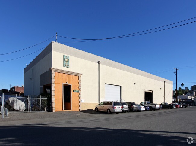
2875 N Orange Olive Rd
Anaheim-Santa Ana-Irvine, CA
Olive Heights
360-384-04
A TR OLIVE HEIGHTS BLK C LOT 8 OLIVE HEIGHTS BLK C LOTS 8 THRU 16 INCL POR OF
Industrialgeneral
Orange
X
California
06059C0153J
2
2024
0.70 AC
2025
Orange
076202
Orange County (California)
DEMOGRAPHICS near 2875 N Orange Olive Rd
1 mile
3 mile
5 mile
2024 Total Population
17,109
148,437
472,466
2029 Population
16,926
146,701
466,506
Pop Growth 2024-2029
(1.07%)
(1.17%)
(1.26%)
Average Age
39
39
39
2024 Total Households
5,722
45,536
151,602
HH Growth 2024-2029
(1.19%)
(1.28%)
(1.34%)
Median Household Inc
$120,936
$102,268
$96,860
Avg Household Size
2.90
3.10
3.00
2024 Avg HH Vehicles
2.00
2.00
2.00
Median Home Value
$735,371
$784,999
$783,110
Median Year Built
1971
1972
1972
Nearby Places
Map Layers
Map Styles
 Street
 Aerial
Transit
 Traffic
 Biking
Places
Listings with unknown addresses are not visible on the map
- Restaurants
- Banks
- Shops
- Fitness
- Groceries
PUBLIC TRANSPORTATION
COMMUTER RAIL
Anaheim Canyon (Inland Empire-Orange County Line - Southern California Regional Rail Authority (Metrolink))
Drive
Walk
Distance
Anaheim Canyon (Inland Empire-Orange County Line - Southern California Regional Rail Authority (Metrolink))
6 min
2.3 mi
Drive
Walk
Distance
8 min
3.7 mi
AIRPORT
John Wayne/Orange County
Drive
Walk
Distance
John Wayne/Orange County
17 min
12.8 mi
Long Beach (Daugherty Field)
Drive
Walk
Distance
Long Beach (Daugherty Field)
32 min
24.7 mi
Ontario International
Drive
Walk
Distance
Ontario International
40 min
30.7 mi
Freight Ports
Port of Long Beach
Drive
Walk
Distance
Port of Long Beach
38 min
24.3 mi
Nearby Properties
Address
Land Use
TOTAL SIZE
Lot Size
Zoning
Address
Land Use
TOTAL SIZE
Lot Size
Zoning
26.08 AC
Address
Land Use
TOTAL SIZE
Lot Size
Zoning
12.20 AC
Address
Land Use
TOTAL SIZE
Lot Size
Zoning
Address
Land Use
TOTAL SIZE
Lot Size
Zoning
352,352 SF
12.98 AC
Address
Land Use
TOTAL SIZE
Lot Size
Zoning
10.12 AC
Address
Land Use
TOTAL SIZE
Lot Size
Zoning
Address
Land Use
TOTAL SIZE
Lot Size
Zoning
2.25 AC
Address
Land Use
TOTAL SIZE
Lot Size
Zoning
5.13 AC
Address
Land Use
TOTAL SIZE
Lot Size
Zoning
198,208 SF
11.62 AC
Address
Land Use
TOTAL SIZE
Lot Size
Zoning
1,404 SF
10.63 AC
Address
Land Use
TOTAL SIZE
Lot Size
Zoning
86,707 SF
9.07 AC
Address
Land Use
TOTAL SIZE
Lot Size
Zoning
12.72 AC
Address
Land Use
TOTAL SIZE
Lot Size
Zoning
10.43 AC
Address
Land Use
TOTAL SIZE
Lot Size
Zoning
5.08 AC
Address
Land Use
TOTAL SIZE
Lot Size
Zoning
13.27 AC
Address
Land Use
TOTAL SIZE
Lot Size
Zoning
4,000 SF
4.11 AC
Address
Land Use
TOTAL SIZE
Lot Size
Zoning
19.38 AC
Address
Land Use
TOTAL SIZE
Lot Size
Zoning
232,305 SF
10.78 AC
Address
Land Use
TOTAL SIZE
Lot Size
Zoning
208,000 SF
17.03 AC
Address
Land Use
TOTAL SIZE
Lot Size
Zoning
17,040 SF
1.08 AC
M2
Address
Land Use
TOTAL SIZE
Lot Size
Zoning
17.84 AC
Address
Land Use
TOTAL SIZE
Lot Size
Zoning
40,000 SF
7.29 AC
Address
Land Use
TOTAL SIZE
Lot Size
Zoning
840 SF
24.22 AC
Address
Land Use
TOTAL SIZE
Lot Size
Zoning
0.66 AC
Address
Land Use
TOTAL SIZE
Lot Size
Zoning
Address
Land Use
TOTAL SIZE
Lot Size
Zoning
12.20 AC
Address
Land Use
TOTAL SIZE
Lot Size
Zoning
9.84 AC
Address
Land Use
TOTAL SIZE
Lot Size
Zoning
1.38 AC
Address
Land Use
TOTAL SIZE
Lot Size
Zoning
17.99 AC
Address
Land Use
TOTAL SIZE
Lot Size
Zoning
5.40 AC
The World's #1 Commercial Real Estate Marketplace
Connect with us
© 2026 CoStar Group
The information above has been obtained from sources believed reliable. While we do not doubt its accuracy we have not verified it and make no guarantee, warranty or representation about it. It is your responsibility to independently confirm its accuracy and completeness. Any projections, opinions, assumptions, or estimates used are for example only and do not represent the current or future performance of the property. The value of this transaction to you depends on tax and other factors which should be evaluated by your tax, financial, and legal advisors. You and your advisors should conduct a careful, independent investigation of the property to determine to your satisfaction the suitability of the property for your needs.