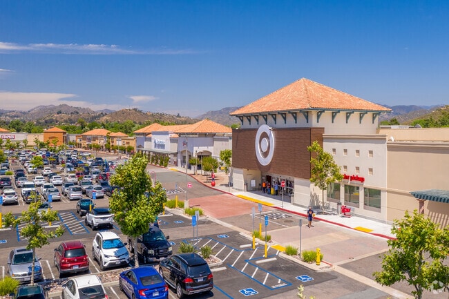
Property Record
2911 Jamacha Rd, El Cajon, CA 92019


Property Detail
2911 Jamacha Rd
San Diego-Chula Vista-Carlsbad, CA
LOT 16 TR 013483
506-130-16
SAN DIEGO
Storesoffices
California
S88
16
AE The base floodplain where base flood elevations are provided. AE Zones are now used on new format FIRMs instead of A1-A30 Zones.
10 AC
2025
El Cajon
2025
San Diego
021305
NEARBY LISTINGS FOR SALE OR LEASE
DEMOGRAPHICS near 2911 Jamacha Rd
1 mile
3 mile
5 mile
2025 Total Population
4,145
53,845
214,536
2030 Population
4,048
53,640
214,188
Pop Growth 2025-2030
(2.34%)
(0.38%)
(0.16%)
Average Age
40
41
39
2025 Total Households
1,682
18,543
71,369
HH Growth 2025-2030
(3.09%)
(0.65%)
(0.36%)
Median Household Inc
$86,268
$120,151
$88,944
Avg Household Size
2.40
2.80
2.90
2025 Avg HH Vehicles
2.00
2.00
2.00
Median Home Value
$729,047
$820,121
$767,044
Median Year Built
1987
1980
1975
Nearby Places
Map Layers
Map Styles
 Street
 Aerial
Layers
 Traffic
 Biking
Places
Listings with unknown addresses are not visible on the map
- Restaurants
- Banks
- Shops
- Fitness
- Groceries
PUBLIC TRANSPORTATION
AIRPORT
San Diego International
Drive
Walk
Distance
San Diego International
23 min
17.7 mi
Freight Ports
Port of San Diego
Drive
Walk
Distance
Port of San Diego
21 min
15.1 mi
Nearby Properties
Address
Land Use
TOTAL SIZE
Lot Size
Zoning
Address
Land Use
TOTAL SIZE
Lot Size
Zoning
15.64 AC
RU
Address
Land Use
TOTAL SIZE
Lot Size
Zoning
13.49 AC
RU
Address
Land Use
TOTAL SIZE
Lot Size
Zoning
10.98 AC
RV
Address
Land Use
TOTAL SIZE
Lot Size
Zoning
22.09 AC
RV
Address
Land Use
TOTAL SIZE
Lot Size
Zoning
78,360 SF
5.69 AC
RU
Address
Land Use
TOTAL SIZE
Lot Size
Zoning
96,140 SF
3.65 AC
RU
Address
Land Use
TOTAL SIZE
Lot Size
Zoning
9.76 AC
C31
Address
Land Use
TOTAL SIZE
Lot Size
Zoning
98,752 SF
4.10 AC
RU
Address
Land Use
TOTAL SIZE
Lot Size
Zoning
92,295 SF
6.50 AC
M52
Address
Land Use
TOTAL SIZE
Lot Size
Zoning
14.62 AC
M58
Address
Land Use
TOTAL SIZE
Lot Size
Zoning
5.62 AC
C31
Address
Land Use
TOTAL SIZE
Lot Size
Zoning
5.27 AC
RU
Address
Land Use
TOTAL SIZE
Lot Size
Zoning
15.71 AC
RV
Address
Land Use
TOTAL SIZE
Lot Size
Zoning
15.88 AC
RU
Address
Land Use
TOTAL SIZE
Lot Size
Zoning
10.14 AC
C36
Address
Land Use
TOTAL SIZE
Lot Size
Zoning
68,990 SF
7.58 AC
S88
Address
Land Use
TOTAL SIZE
Lot Size
Zoning
71.84 AC
S80
Address
Land Use
TOTAL SIZE
Lot Size
Zoning
76,068 SF
3.86 AC
RU
Address
Land Use
TOTAL SIZE
Lot Size
Zoning
65,784 SF
6.67 AC
S88
Address
Land Use
TOTAL SIZE
Lot Size
Zoning
44,360 SF
4.04 AC
C30
Address
Land Use
TOTAL SIZE
Lot Size
Zoning
47,500 SF
4.97 AC
C-N
Address
Land Use
TOTAL SIZE
Lot Size
Zoning
62,676 SF
9.40 AC
C36
Address
Land Use
TOTAL SIZE
Lot Size
Zoning
69,629 SF
8.91 AC
A70
Address
Land Use
TOTAL SIZE
Lot Size
Zoning
98,254 SF
5.63 AC
M58
Address
Land Use
TOTAL SIZE
Lot Size
Zoning
41,912 SF
2 AC
C31
Address
Land Use
TOTAL SIZE
Lot Size
Zoning
27,058 SF
2.90 AC
RS
Address
Land Use
TOTAL SIZE
Lot Size
Zoning
5,796 SF
10.39 AC
A72
Address
Land Use
TOTAL SIZE
Lot Size
Zoning
36,960 SF
1.05 AC
RU
Address
Land Use
TOTAL SIZE
Lot Size
Zoning
42,148 SF
3.36 AC
S88
The World's #1 Commercial Real Estate Marketplace
Connect with us
© 2026 CoStar Group
The information above has been obtained from sources believed reliable. While we do not doubt its accuracy we have not verified it and make no guarantee, warranty or representation about it. It is your responsibility to independently confirm its accuracy and completeness. Any projections, opinions, assumptions, or estimates used are for example only and do not represent the current or future performance of the property. The value of this transaction to you depends on tax and other factors which should be evaluated by your tax, financial, and legal advisors. You and your advisors should conduct a careful, independent investigation of the property to determine to your satisfaction the suitability of the property for your needs.