Property Record
3055 Washington St, Roxbury, MA 02119
NEARBY LISTINGS FOR SALE OR LEASE
Property Detail
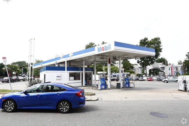
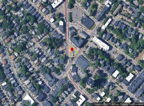
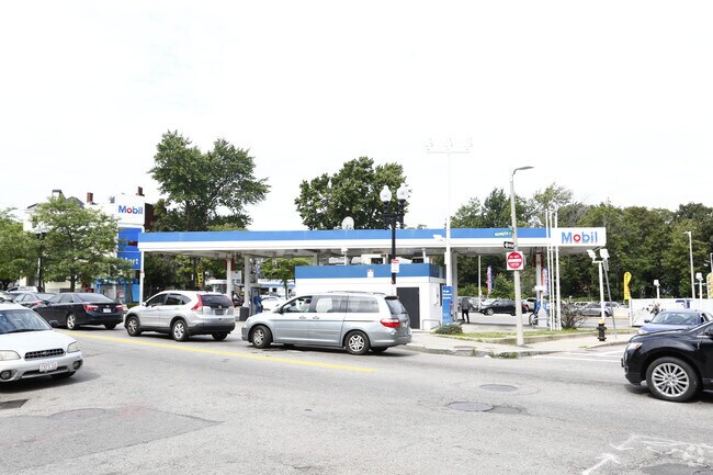
3055 Washington St
Servicestation
Suffolk
X
Massachusetts
25021C0053F
0.11 AC
2025
Roxbury/Dorchester
2025
Boston
081302
Boston-Cambridge-Newton, MA-NH
720 SF
ROXB-000000-000011-001010
DEMOGRAPHICS near 3055 Washington St
1 mile
3 mile
5 mile
2024 Total Population
53,300
439,430
859,439
2029 Population
50,215
420,363
827,699
Pop Growth 2024-2029
(5.79%)
(4.34%)
(3.69%)
Average Age
38
37
38
2024 Total Households
21,249
175,021
357,569
HH Growth 2024-2029
(6.48%)
(4.70%)
(3.97%)
Median Household Inc
$65,217
$73,441
$93,417
Avg Household Size
2.40
2.20
2.20
2024 Avg HH Vehicles
1.00
1.00
1.00
Median Home Value
$708,853
$789,987
$793,646
Median Year Built
1948
1949
1949
Nearby Places
Map Layers
Map Styles
 Street
 Aerial
Transit
 Traffic
 Biking
Places
Listings with unknown addresses are not visible on the map
- Restaurants
- Banks
- Shops
- Fitness
- Groceries
PUBLIC TRANSPORTATION
TRANSIT/SUBWAY
Stony Brook Station (Orange Line - Massachusetts Bay Transportation Authority Subway (The T))
Drive
Walk
Distance
Stony Brook Station (Orange Line - Massachusetts Bay Transportation Authority Subway (The T))
2 min
10 min
0.5 mi
Jackson Square Station (Orange Line - Massachusetts Bay Transportation Authority Subway (The T))
Drive
Walk
Distance
Jackson Square Station (Orange Line - Massachusetts Bay Transportation Authority Subway (The T))
1 min
11 min
0.5 mi
Green Street Station (Orange Line - Massachusetts Bay Transportation Authority Subway (The T))
Drive
Walk
Distance
Green Street Station (Orange Line - Massachusetts Bay Transportation Authority Subway (The T))
2 min
15 min
0.7 mi
Roxbury Crossing Station (Orange Line - Massachusetts Bay Transportation Authority Subway (The T))
Drive
Walk
Distance
Roxbury Crossing Station (Orange Line - Massachusetts Bay Transportation Authority Subway (The T))
2 min
20 min
1.0 mi
COMMUTER RAIL
Forest Hills (Needham Line - Massachusetts Bay Transportation Authority Commuter Rail (Purple Line))
Drive
Walk
Distance
Forest Hills (Needham Line - Massachusetts Bay Transportation Authority Commuter Rail (Purple Line))
4 min
1.8 mi
Drive
Walk
Distance
5 min
1.8 mi
AIRPORT
General Edward Lawrence Logan International
Drive
Walk
Distance
General Edward Lawrence Logan International
14 min
6.9 mi
Freight Ports
Port of Boston
Drive
Walk
Distance
Port of Boston
13 min
5.2 mi
Nearby Properties
Address
Land Use
TOTAL SIZE
Lot Size
Zoning
Address
Land Use
TOTAL SIZE
Lot Size
Zoning
909,764 SF
25.13 AC
E
Address
Land Use
TOTAL SIZE
Lot Size
Zoning
610,560 SF
4.01 AC
E
Address
Land Use
TOTAL SIZE
Lot Size
Zoning
596,972 SF
7.32 AC
E
Address
Land Use
TOTAL SIZE
Lot Size
Zoning
334,522 SF
1.26 AC
C
Address
Land Use
TOTAL SIZE
Lot Size
Zoning
46,259 SF
1.05 AC
E
Address
Land Use
TOTAL SIZE
Lot Size
Zoning
118,759 SF
0.92 AC
C
Address
Land Use
TOTAL SIZE
Lot Size
Zoning
3.52 AC
C-3
Address
Land Use
TOTAL SIZE
Lot Size
Zoning
377,634 SF
4.86 AC
E
Address
Land Use
TOTAL SIZE
Lot Size
Zoning
227,107 SF
7.70 AC
E
Address
Land Use
TOTAL SIZE
Lot Size
Zoning
448,796 SF
1.84 AC
C
Address
Land Use
TOTAL SIZE
Lot Size
Zoning
254,208 SF
3.83 AC
E
Address
Land Use
TOTAL SIZE
Lot Size
Zoning
262,120 SF
0.62 AC
C
Address
Land Use
TOTAL SIZE
Lot Size
Zoning
237,935 SF
1.27 AC
C-3
Address
Land Use
TOTAL SIZE
Lot Size
Zoning
619,050 SF
0.45 AC
C
Address
Land Use
TOTAL SIZE
Lot Size
Zoning
547,851 SF
8.14 AC
E
Address
Land Use
TOTAL SIZE
Lot Size
Zoning
305,455 SF
0.54 AC
RC
Address
Land Use
TOTAL SIZE
Lot Size
Zoning
138,316 SF
0.19 AC
RC
Address
Land Use
TOTAL SIZE
Lot Size
Zoning
157,083 SF
0.41 AC
C
Address
Land Use
TOTAL SIZE
Lot Size
Zoning
136,025 SF
6.91 AC
C3
Address
Land Use
TOTAL SIZE
Lot Size
Zoning
303,055 SF
2.15 AC
RC
Address
Land Use
TOTAL SIZE
Lot Size
Zoning
269,232 SF
0.46 AC
C
Address
Land Use
TOTAL SIZE
Lot Size
Zoning
259,607 SF
2.53 AC
A
Address
Land Use
TOTAL SIZE
Lot Size
Zoning
468,308 SF
0.78 AC
E
Address
Land Use
TOTAL SIZE
Lot Size
Zoning
443,356 SF
2.40 AC
C
Address
Land Use
TOTAL SIZE
Lot Size
Zoning
249,135 SF
1.99 AC
RC
Address
Land Use
TOTAL SIZE
Lot Size
Zoning
191,648 SF
0.65 AC
RC
Address
Land Use
TOTAL SIZE
Lot Size
Zoning
522,465 SF
5.34 AC
E
Address
Land Use
TOTAL SIZE
Lot Size
Zoning
76,658 SF
0.38 AC
E
Address
Land Use
TOTAL SIZE
Lot Size
Zoning
91,500 SF
1.03 AC
SD-5
Address
Land Use
TOTAL SIZE
Lot Size
Zoning
172,000 SF
0.31 AC
A
The World's #1 Commercial Real Estate Marketplace
Connect with us
© 2026 CoStar Group
The information above has been obtained from sources believed reliable. While we do not doubt its accuracy we have not verified it and make no guarantee, warranty or representation about it. It is your responsibility to independently confirm its accuracy and completeness. Any projections, opinions, assumptions, or estimates used are for example only and do not represent the current or future performance of the property. The value of this transaction to you depends on tax and other factors which should be evaluated by your tax, financial, and legal advisors. You and your advisors should conduct a careful, independent investigation of the property to determine to your satisfaction the suitability of the property for your needs.