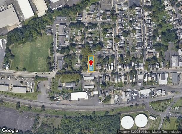
Property Record
329 Otter St, Bristol, PA 19007


Current Lease Availabilities
NEARBY LISTINGS FOR SALE OR LEASE
Property Detail
329 Otter St
04-008-037
51X150 NE COR OTTER & LO CUST STS
Retailwithmorethanonenonretailuse
Bucks
AE
Pennsylvania
34005C0126F
0.18 AC
2024
Bucks
2025
Philadelphia
100700
Philadelphia-Camden-Wilmington, PA-NJ-DE-MD
4,148 SF
DEMOGRAPHICS near 329 Otter St
1 mile
3 mile
5 mile
2024 Total Population
9,290
69,127
213,442
2029 Population
9,263
69,379
214,348
Pop Growth 2024-2029
(0.29%)
+ 0.36%
+ 0.42%
Average Age
40
41
41
2024 Total Households
3,557
26,500
80,057
HH Growth 2024-2029
(0.28%)
+ 0.35%
+ 0.42%
Median Household Inc
$71,766
$73,558
$82,049
Avg Household Size
2.50
2.50
2.60
2024 Avg HH Vehicles
2.00
2.00
2.00
Median Home Value
$215,027
$248,289
$260,971
Median Year Built
1948
1958
1964
Nearby Places
Map Layers
Map Styles
 Street
 Aerial
Transit
 Traffic
 Biking
Places
Listings with unknown addresses are not visible on the map
- Restaurants
- Banks
- Shops
- Fitness
- Groceries
PUBLIC TRANSPORTATION
COMMUTER RAIL
Bristol (R7 - Southeastern Pennsylvania Transportation Authority Regional Rail (SEPTA Regional Rail))
Drive
Walk
Distance
Bristol (R7 - Southeastern Pennsylvania Transportation Authority Regional Rail (SEPTA Regional Rail))
2 min
17 min
0.9 mi
Croydon (R7 - Southeastern Pennsylvania Transportation Authority Regional Rail (SEPTA Regional Rail))
Drive
Walk
Distance
Croydon (R7 - Southeastern Pennsylvania Transportation Authority Regional Rail (SEPTA Regional Rail))
5 min
2.4 mi
AIRPORT
Trenton Mercer
Drive
Walk
Distance
Trenton Mercer
26 min
16.6 mi
Philadelphia International
Drive
Walk
Distance
Philadelphia International
47 min
30.5 mi
Freight Ports
Port of Philadelphia
Drive
Walk
Distance
Port of Philadelphia
27 min
16.9 mi
Nearby Properties
Address
Land Use
TOTAL SIZE
Lot Size
Zoning
Address
Land Use
TOTAL SIZE
Lot Size
Zoning
65.99 AC
Address
Land Use
TOTAL SIZE
Lot Size
Zoning
22,300 SF
59.13 AC
Address
Land Use
TOTAL SIZE
Lot Size
Zoning
913,620 SF
Address
Land Use
TOTAL SIZE
Lot Size
Zoning
16,960 SF
107.84 AC
Address
Land Use
TOTAL SIZE
Lot Size
Zoning
77.35 AC
I-2
Address
Land Use
TOTAL SIZE
Lot Size
Zoning
2,019 SF
28.85 AC
I-2
Address
Land Use
TOTAL SIZE
Lot Size
Zoning
486,812 SF
44.42 AC
Address
Land Use
TOTAL SIZE
Lot Size
Zoning
Address
Land Use
TOTAL SIZE
Lot Size
Zoning
22,688 SF
32.55 AC
BLI1
Address
Land Use
TOTAL SIZE
Lot Size
Zoning
46.66 AC
I-1
Address
Land Use
TOTAL SIZE
Lot Size
Zoning
Address
Land Use
TOTAL SIZE
Lot Size
Zoning
35.90 AC
R-40
Address
Land Use
TOTAL SIZE
Lot Size
Zoning
Address
Land Use
TOTAL SIZE
Lot Size
Zoning
29.76 AC
R-40
Address
Land Use
TOTAL SIZE
Lot Size
Zoning
Address
Land Use
TOTAL SIZE
Lot Size
Zoning
Address
Land Use
TOTAL SIZE
Lot Size
Zoning
19,188 SF
29.52 AC
Address
Land Use
TOTAL SIZE
Lot Size
Zoning
23.38 AC
Address
Land Use
TOTAL SIZE
Lot Size
Zoning
27.99 AC
Address
Land Use
TOTAL SIZE
Lot Size
Zoning
37.98 AC
I-2
Address
Land Use
TOTAL SIZE
Lot Size
Zoning
Address
Land Use
TOTAL SIZE
Lot Size
Zoning
16.23 AC
R-3
Address
Land Use
TOTAL SIZE
Lot Size
Zoning
253,500 SF
24.28 AC
BLI1
Address
Land Use
TOTAL SIZE
Lot Size
Zoning
23.14 AC
I-2
Address
Land Use
TOTAL SIZE
Lot Size
Zoning
23,591 SF
72.69 AC
I-1
Address
Land Use
TOTAL SIZE
Lot Size
Zoning
14.78 AC
R-20
Address
Land Use
TOTAL SIZE
Lot Size
Zoning
27,600 SF
13.26 AC
I-2
Address
Land Use
TOTAL SIZE
Lot Size
Zoning
Address
Land Use
TOTAL SIZE
Lot Size
Zoning
2.96 AC
HC-1
Address
Land Use
TOTAL SIZE
Lot Size
Zoning
11 AC
TRN
The World's #1 Commercial Real Estate Marketplace
Connect with us
© 2026 CoStar Group
The information above has been obtained from sources believed reliable. While we do not doubt its accuracy we have not verified it and make no guarantee, warranty or representation about it. It is your responsibility to independently confirm its accuracy and completeness. Any projections, opinions, assumptions, or estimates used are for example only and do not represent the current or future performance of the property. The value of this transaction to you depends on tax and other factors which should be evaluated by your tax, financial, and legal advisors. You and your advisors should conduct a careful, independent investigation of the property to determine to your satisfaction the suitability of the property for your needs.