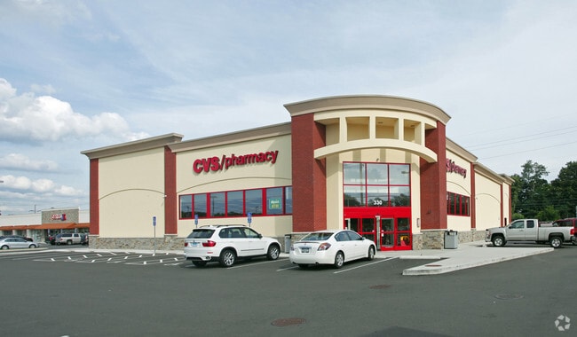
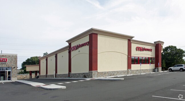
Property Record
330 Grasmere Ave, Fairfield, CT 06824

Property Detail
330 Grasmere Ave
FAIR-000128-000000-000123
FAIRFIELD
Commercialnec
Connecticut
DID
10.28 AC
C and X Area of minimal flood hazard, usually depicted on FIRMs as above the 500-year flood level.
Fairfield
2025
Westchester/So Connecticut
2025
Bridgeport-Stamford-Danbury, CT
061400
NEARBY LISTINGS FOR SALE OR LEASE
DEMOGRAPHICS near 330 Grasmere Ave
1 mile
3 mile
5 mile
2025 Total Population
15,274
99,756
211,098
2030 Population
15,785
102,464
216,922
Pop Growth 2025-2030
+ 3.35%
+ 2.71%
+ 2.76%
Average Age
41
39
39
2025 Total Households
6,398
36,157
75,041
HH Growth 2025-2030
+ 3.52%
+ 2.86%
+ 2.88%
Median Household Inc
$118,661
$94,273
$80,246
Avg Household Size
2.30
2.60
2.60
2025 Avg HH Vehicles
2.00
2.00
2.00
Median Home Value
$564,386
$653,932
$496,617
Median Year Built
1959
1954
1955
Nearby Places
Map Layers
Map Styles
 Street
 Aerial
Layers
 Traffic
 Biking
Places
Listings with unknown addresses are not visible on the map
- Restaurants
- Banks
- Shops
- Fitness
- Groceries
PUBLIC TRANSPORTATION
COMMUTER RAIL
Fairfield-Black Rock (New Haven - Metro-North Railroad)
Drive
Walk
Distance
Fairfield-Black Rock (New Haven - Metro-North Railroad)
3 min
9 min
0.5 mi
Fairfield Station (New Haven Line - Metro-North Commuter Railroad Company (Metro-North))
Drive
Walk
Distance
Fairfield Station (New Haven Line - Metro-North Commuter Railroad Company (Metro-North))
3 min
1.7 mi
AIRPORT
Tweed/New Haven
Drive
Walk
Distance
Tweed/New Haven
41 min
25.9 mi
Westchester County
Drive
Walk
Distance
Westchester County
48 min
31.4 mi
Long Island MacArthur
Drive
Walk
Distance
Long Island MacArthur
113 min
37.4 mi
Freight Ports
Port of New Haven
Drive
Walk
Distance
Port of New Haven
35 min
23.1 mi
Nearby Properties
Address
Land Use
TOTAL SIZE
Lot Size
Zoning
Address
Land Use
TOTAL SIZE
Lot Size
Zoning
Address
Land Use
TOTAL SIZE
Lot Size
Zoning
124 AC
FPD
Address
Land Use
TOTAL SIZE
Lot Size
Zoning
23.95 AC
RB
Address
Land Use
TOTAL SIZE
Lot Size
Zoning
111 AC
RA
Address
Land Use
TOTAL SIZE
Lot Size
Zoning
335,633 SF
39.70 AC
R3
Address
Land Use
TOTAL SIZE
Lot Size
Zoning
19.43 AC
A
Address
Land Use
TOTAL SIZE
Lot Size
Zoning
1,183 SF
2.33 AC
DID
Address
Land Use
TOTAL SIZE
Lot Size
Zoning
288,875 SF
1.57 AC
MUEM
Address
Land Use
TOTAL SIZE
Lot Size
Zoning
213,826 SF
18.30 AC
A
Address
Land Use
TOTAL SIZE
Lot Size
Zoning
146,351 SF
8.86 AC
Address
Land Use
TOTAL SIZE
Lot Size
Zoning
497,430 SF
4.16 AC
DCB
Address
Land Use
TOTAL SIZE
Lot Size
Zoning
162,376 SF
7.82 AC
Address
Land Use
TOTAL SIZE
Lot Size
Zoning
260,992 SF
4.19 AC
ILI
Address
Land Use
TOTAL SIZE
Lot Size
Zoning
585,480 SF
3.66 AC
Address
Land Use
TOTAL SIZE
Lot Size
Zoning
493,114 SF
2.20 AC
DCB
Address
Land Use
TOTAL SIZE
Lot Size
Zoning
144,086 SF
3.12 AC
DRD
Address
Land Use
TOTAL SIZE
Lot Size
Zoning
22.43 AC
R3
Address
Land Use
TOTAL SIZE
Lot Size
Zoning
92,318 SF
5.33 AC
Address
Land Use
TOTAL SIZE
Lot Size
Zoning
115,006 SF
2.51 AC
DCD
Address
Land Use
TOTAL SIZE
Lot Size
Zoning
12.47 AC
AA
Address
Land Use
TOTAL SIZE
Lot Size
Zoning
216,972 SF
2.53 AC
DCB
Address
Land Use
TOTAL SIZE
Lot Size
Zoning
14.90 AC
RC
Address
Land Use
TOTAL SIZE
Lot Size
Zoning
5.31 AC
RC
Address
Land Use
TOTAL SIZE
Lot Size
Zoning
16.73 AC
DCD
Address
Land Use
TOTAL SIZE
Lot Size
Zoning
204,000 SF
1.84 AC
MUEM
Address
Land Use
TOTAL SIZE
Lot Size
Zoning
7.52 AC
RC
Address
Land Use
TOTAL SIZE
Lot Size
Zoning
2.40 AC
DCB
Address
Land Use
TOTAL SIZE
Lot Size
Zoning
2 AC
DCB
Address
Land Use
TOTAL SIZE
Lot Size
Zoning
101,558 SF
7.74 AC
ORN
The World's #1 Commercial Real Estate Marketplace
Connect with us
© 2026 CoStar Group
The information above has been obtained from sources believed reliable. While we do not doubt its accuracy we have not verified it and make no guarantee, warranty or representation about it. It is your responsibility to independently confirm its accuracy and completeness. Any projections, opinions, assumptions, or estimates used are for example only and do not represent the current or future performance of the property. The value of this transaction to you depends on tax and other factors which should be evaluated by your tax, financial, and legal advisors. You and your advisors should conduct a careful, independent investigation of the property to determine to your satisfaction the suitability of the property for your needs.