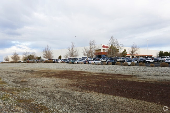
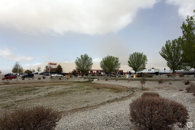
Property Record
3501 W Avenue H, Lancaster, CA 93536

NEARBY LISTINGS FOR SALE OR LEASE
Property Detail
3501 W Avenue H
3107-025-101
EX OF LAND DESC IN DOC 0529276,030602 POR OF LOT 1 SW 1/4 OF SEC 6 T7N R12W
Warehouse
Los Angeles
X
California
06037C0405F
1
2024
10.11 AC
2025
Antelope Valley
900901
Los Angeles
99,247 SF
Los Angeles-Long Beach-Glendale, CA
DEMOGRAPHICS near 3501 W Avenue H
1 Mile
3 Mile
5 Mile
2024 Total Population
13
33,989
107,769
2029 Population
12
32,877
104,714
Pop Growth 2024-2029
(7.69%)
(3.27%)
(2.83%)
Average Age
35
37
37
2024 Total Households
5
10,244
35,424
HH Growth 2024-2029
(20.00%)
(3.58%)
(3.03%)
Median Household Inc
$39,999
$85,126
$64,238
Avg Household Size
2.50
3.20
2.90
2024 Avg HH Vehicles
1.00
2.00
2.00
Median Home Value
$399,999
$356,185
$341,434
Median Year Built
2007
1989
1983
Nearby Places
Map Layers
Map Styles
 Street
 Aerial
- Restaurants
- Banks
- Shops
- Fitness
- Groceries
PUBLIC TRANSPORTATION
COMMUTER RAIL
Lancaster (Antelope Valley Line - Southern California Regional Rail Authority (Metrolink))
DRIVE
WALK
Distance
Lancaster (Antelope Valley Line - Southern California Regional Rail Authority (Metrolink))
7 min
4.8 mi
Freight Ports
Port of Long Beach
DRIVE
WALK
Distance
Port of Long Beach
112 min
96.4 mi
Nearby Properties
Address
Land Use
TOTAL SIZE
Lot Size
Zoning
Address
Land Use
TOTAL SIZE
Lot Size
Zoning
2,922,905 SF
85.01 AC
LRLI
Address
Land Use
TOTAL SIZE
Lot Size
Zoning
153,117 SF
14.12 AC
LRSP80-01*
Address
Land Use
TOTAL SIZE
Lot Size
Zoning
552,178 SF
17.77 AC
LRHI*
Address
Land Use
TOTAL SIZE
Lot Size
Zoning
212,198 SF
18.27 AC
LRSP80-01*
Address
Land Use
TOTAL SIZE
Lot Size
Zoning
129,896 SF
9.10 AC
LRRPD70001
Address
Land Use
TOTAL SIZE
Lot Size
Zoning
465,697 SF
27.82 AC
LRSP*
Address
Land Use
TOTAL SIZE
Lot Size
Zoning
249,045 SF
19.74 AC
LRMPD*
Address
Land Use
TOTAL SIZE
Lot Size
Zoning
89,351 SF
17.97 AC
LRMDR
Address
Land Use
TOTAL SIZE
Lot Size
Zoning
214,178 SF
13.95 AC
LRRA7000*
Address
Land Use
TOTAL SIZE
Lot Size
Zoning
70,456 SF
3.05 AC
LRRC
Address
Land Use
TOTAL SIZE
Lot Size
Zoning
81,668 SF
5.47 AC
LRSP80-01*
Address
Land Use
TOTAL SIZE
Lot Size
Zoning
137,190 SF
11.24 AC
LRSP80-01*
Address
Land Use
TOTAL SIZE
Lot Size
Zoning
198,494 SF
9.78 AC
LRSP*
Address
Land Use
TOTAL SIZE
Lot Size
Zoning
52,659 SF
2.16 AC
LRRC
Address
Land Use
TOTAL SIZE
Lot Size
Zoning
49,891 SF
1.62 AC
LRC3*
Address
Land Use
TOTAL SIZE
Lot Size
Zoning
70,936 SF
3.20 AC
LRCPD*
Address
Land Use
TOTAL SIZE
Lot Size
Zoning
667,949 SF
10.68 AC
LRXP
Address
Land Use
TOTAL SIZE
Lot Size
Zoning
582,222 SF
12.61 AC
LRCPD
Address
Land Use
TOTAL SIZE
Lot Size
Zoning
52,478 SF
5.07 AC
LRCPD
Address
Land Use
TOTAL SIZE
Lot Size
Zoning
Address
Land Use
TOTAL SIZE
Lot Size
Zoning
105,700 SF
7.06 AC
LRCPD*
Address
Land Use
TOTAL SIZE
Lot Size
Zoning
52,924 SF
4.76 AC
LRSP
Address
Land Use
TOTAL SIZE
Lot Size
Zoning
94,491 SF
9.57 AC
LRMDRI
Address
Land Use
TOTAL SIZE
Lot Size
Zoning
32.02 AC
LRSP
Address
Land Use
TOTAL SIZE
Lot Size
Zoning
39,054 SF
3.92 AC
LRSP
Address
Land Use
TOTAL SIZE
Lot Size
Zoning
47,294 SF
4.45 AC
LRR315U*
Address
Land Use
TOTAL SIZE
Lot Size
Zoning
Address
Land Use
TOTAL SIZE
Lot Size
Zoning
46,352 SF
9.46 AC
LRR7000*
The World's #1 Commercial Real Estate Marketplace
Connect with us
© 2025 CoStar Group
The information above has been obtained from sources believed reliable. While we do not doubt its accuracy we have not verified it and make no guarantee, warranty or representation about it. It is your responsibility to independently confirm its accuracy and completeness. Any projections, opinions, assumptions, or estimates used are for example only and do not represent the current or future performance of the property. The value of this transaction to you depends on tax and other factors which should be evaluated by your tax, financial, and legal advisors. You and your advisors should conduct a careful, independent investigation of the property to determine to your satisfaction the suitability of the property for your needs.