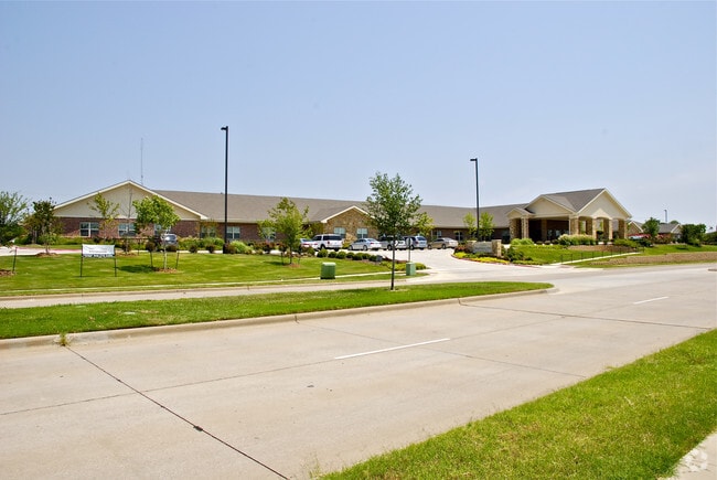
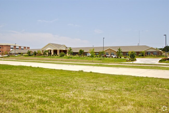
Property Record
3511 Corinth Pky, Corinth, TX 76208


Property Detail
3511 Corinth Pky
Dallas-Fort Worth-Arlington, TX
CORINTH HEALTHCARE REALTY ADDITION BLK LOT 000C
R230479
Denton
Commercialnec
Texas
B and X Area of moderate flood hazard, usually the area between the limits of the 100-year and 500-year floods.
000c
2024
4.86 AC
2025
Denton
021412
Dallas/Ft Worth
56,819 SF
NEARBY LISTINGS FOR SALE OR LEASE
-
-
View all Corinth listings for sale on LoopNet.com
DEMOGRAPHICS near 3511 Corinth Pky
1 mile
3 mile
5 mile
2025 Total Population
6,372
60,855
130,312
2030 Population
7,158
67,900
145,931
Pop Growth 2025-2030
+ 12.34%
+ 11.58%
+ 11.99%
Average Age
41
39
40
2025 Total Households
2,358
21,231
46,692
HH Growth 2025-2030
+ 12.64%
+ 11.91%
+ 12.33%
Median Household Inc
$109,941
$114,334
$101,355
Avg Household Size
2.70
2.80
2.70
2025 Avg HH Vehicles
2.00
2.00
2.00
Median Home Value
$391,385
$394,278
$431,384
Median Year Built
2001
2003
2001
Nearby Places
Map Layers
Map Styles
 Street
 Aerial
Layers
 Traffic
 Biking
Places
Listings with unknown addresses are not visible on the map
- Restaurants
- Banks
- Shops
- Fitness
- Groceries
PUBLIC TRANSPORTATION
COMMUTER RAIL
Drive
Walk
Distance
8 min
3.6 mi
Drive
Walk
Distance
12 min
7.1 mi
AIRPORT
Dallas-Fort Worth International
Drive
Walk
Distance
Dallas-Fort Worth International
28 min
20.7 mi
Dallas Love Field
Drive
Walk
Distance
Dallas Love Field
40 min
29.7 mi
Nearby Properties
Address
Land Use
TOTAL SIZE
Lot Size
Zoning
Address
Land Use
TOTAL SIZE
Lot Size
Zoning
387,383 SF
27.58 AC
Address
Land Use
TOTAL SIZE
Lot Size
Zoning
310,952 SF
56.11 AC
Address
Land Use
TOTAL SIZE
Lot Size
Zoning
360,000 SF
24.34 AC
Address
Land Use
TOTAL SIZE
Lot Size
Zoning
246,535 SF
53.67 AC
Address
Land Use
TOTAL SIZE
Lot Size
Zoning
337,537 SF
8.83 AC
Address
Land Use
TOTAL SIZE
Lot Size
Zoning
310,042 SF
12.58 AC
Address
Land Use
TOTAL SIZE
Lot Size
Zoning
229,968 SF
6.93 AC
Address
Land Use
TOTAL SIZE
Lot Size
Zoning
282,217 SF
18.64 AC
8G
Address
Land Use
TOTAL SIZE
Lot Size
Zoning
210,801 SF
6.14 AC
Address
Land Use
TOTAL SIZE
Lot Size
Zoning
176,838 SF
15.64 AC
Address
Land Use
TOTAL SIZE
Lot Size
Zoning
178,272 SF
10.25 AC
Address
Land Use
TOTAL SIZE
Lot Size
Zoning
276,244 SF
7.53 AC
Address
Land Use
TOTAL SIZE
Lot Size
Zoning
185,592 SF
14.38 AC
Address
Land Use
TOTAL SIZE
Lot Size
Zoning
77,887 SF
20.59 AC
Address
Land Use
TOTAL SIZE
Lot Size
Zoning
324,705 SF
47.74 AC
Address
Land Use
TOTAL SIZE
Lot Size
Zoning
150,104 SF
11.58 AC
Address
Land Use
TOTAL SIZE
Lot Size
Zoning
126,287 SF
31.43 AC
Address
Land Use
TOTAL SIZE
Lot Size
Zoning
150,260 SF
6.93 AC
8G
Address
Land Use
TOTAL SIZE
Lot Size
Zoning
256,043 SF
17.48 AC
Address
Land Use
TOTAL SIZE
Lot Size
Zoning
64,712 SF
7.10 AC
Address
Land Use
TOTAL SIZE
Lot Size
Zoning
80,164 SF
6.35 AC
Address
Land Use
TOTAL SIZE
Lot Size
Zoning
158,279 SF
53.75 AC
Address
Land Use
TOTAL SIZE
Lot Size
Zoning
144,504 SF
7.30 AC
Address
Land Use
TOTAL SIZE
Lot Size
Zoning
116,516 SF
4.20 AC
Address
Land Use
TOTAL SIZE
Lot Size
Zoning
65,556 SF
12.35 AC
Address
Land Use
TOTAL SIZE
Lot Size
Zoning
80,000 SF
12.20 AC
Address
Land Use
TOTAL SIZE
Lot Size
Zoning
62,511 SF
5 AC
Address
Land Use
TOTAL SIZE
Lot Size
Zoning
197,304 SF
19.89 AC
Address
Land Use
TOTAL SIZE
Lot Size
Zoning
190,719 SF
11 AC
Address
Land Use
TOTAL SIZE
Lot Size
Zoning
50,905 SF
5.61 AC
The World's #1 Commercial Real Estate Marketplace
Connect with us
© 2026 CoStar Group
The information above has been obtained from sources believed reliable. While we do not doubt its accuracy we have not verified it and make no guarantee, warranty or representation about it. It is your responsibility to independently confirm its accuracy and completeness. Any projections, opinions, assumptions, or estimates used are for example only and do not represent the current or future performance of the property. The value of this transaction to you depends on tax and other factors which should be evaluated by your tax, financial, and legal advisors. You and your advisors should conduct a careful, independent investigation of the property to determine to your satisfaction the suitability of the property for your needs.