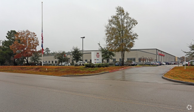
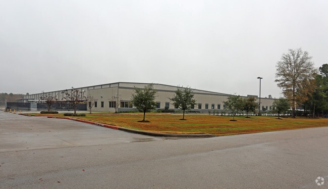
Property Record
3770 Pollok Dr, Conroe, TX 77303

Property Detail
3770 Pollok Dr
3453-06-03900
S345306 - CONROE PARK NORTH 06, BLOCK 5, RES D-1 & E, ACRES 19.543
Industrialgeneral
Montgomery
B and X Area of moderate flood hazard, usually the area between the limits of the 100-year and 500-year floods.
Texas
2024
19.54 AC
2025
The Woodlands/Conroe
693901
Houston
236,986 SF
Houston-Pasadena-The Woodlands, TX
NEARBY LISTINGS FOR SALE OR LEASE
DEMOGRAPHICS near 3770 Pollok Dr
1 mile
3 mile
5 mile
2025 Total Population
347
23,325
89,321
2030 Population
403
27,274
105,324
Pop Growth 2025-2030
+ 16.14%
+ 16.93%
+ 17.92%
Average Age
38
38
37
2025 Total Households
104
7,443
31,471
HH Growth 2025-2030
+ 17.31%
+ 19.06%
+ 18.85%
Median Household Inc
$68,709
$68,917
$70,347
Avg Household Size
2.60
2.80
2.70
2025 Avg HH Vehicles
2.00
2.00
2.00
Median Home Value
$234,285
$264,265
$278,265
Median Year Built
2004
2003
2004
Nearby Places
Map Layers
Map Styles
 Street
 Aerial
Transit
 Traffic
 Biking
Places
Listings with unknown addresses are not visible on the map
- Restaurants
- Banks
- Shops
- Fitness
- Groceries
PUBLIC TRANSPORTATION
AIRPORT
George Bush Intcntl/Houston
Drive
Walk
Distance
George Bush Intcntl/Houston
48 min
37.8 mi
Freight Ports
Port of Houston
Drive
Walk
Distance
Port of Houston
71 min
53.5 mi
Nearby Properties
Address
Land Use
TOTAL SIZE
Lot Size
Zoning
Address
Land Use
TOTAL SIZE
Lot Size
Zoning
322,082 SF
36.56 AC
1
Address
Land Use
TOTAL SIZE
Lot Size
Zoning
776,164 SF
71.74 AC
Address
Land Use
TOTAL SIZE
Lot Size
Zoning
165,071 SF
16.01 AC
Address
Land Use
TOTAL SIZE
Lot Size
Zoning
398,842 SF
23.75 AC
1
Address
Land Use
TOTAL SIZE
Lot Size
Zoning
308,438 SF
14.35 AC
Address
Land Use
TOTAL SIZE
Lot Size
Zoning
322,588 SF
14.77 AC
Address
Land Use
TOTAL SIZE
Lot Size
Zoning
280,904 SF
12 AC
Address
Land Use
TOTAL SIZE
Lot Size
Zoning
361,388 SF
16.32 AC
Address
Land Use
TOTAL SIZE
Lot Size
Zoning
191,700 SF
19.41 AC
1
Address
Land Use
TOTAL SIZE
Lot Size
Zoning
275,000 SF
13.65 AC
Address
Land Use
TOTAL SIZE
Lot Size
Zoning
366,709 SF
27.72 AC
Address
Land Use
TOTAL SIZE
Lot Size
Zoning
206,841 SF
23.44 AC
Address
Land Use
TOTAL SIZE
Lot Size
Zoning
399,360 SF
30 AC
Address
Land Use
TOTAL SIZE
Lot Size
Zoning
206,008 SF
107.61 AC
Address
Land Use
TOTAL SIZE
Lot Size
Zoning
141,100 SF
25.34 AC
Address
Land Use
TOTAL SIZE
Lot Size
Zoning
62,296 SF
20.62 AC
Address
Land Use
TOTAL SIZE
Lot Size
Zoning
75,048 SF
10.59 AC
Address
Land Use
TOTAL SIZE
Lot Size
Zoning
214,039 SF
20 AC
Address
Land Use
TOTAL SIZE
Lot Size
Zoning
123,674 SF
21.67 AC
Address
Land Use
TOTAL SIZE
Lot Size
Zoning
448,675 SF
52.68 AC
4
Address
Land Use
TOTAL SIZE
Lot Size
Zoning
376,980 SF
24.37 AC
1
Address
Land Use
TOTAL SIZE
Lot Size
Zoning
235,219 SF
40.03 AC
Address
Land Use
TOTAL SIZE
Lot Size
Zoning
332,274 SF
40 AC
Address
Land Use
TOTAL SIZE
Lot Size
Zoning
205,088 SF
79.14 AC
Address
Land Use
TOTAL SIZE
Lot Size
Zoning
93,668 SF
45.56 AC
Address
Land Use
TOTAL SIZE
Lot Size
Zoning
87,864 SF
22.43 AC
Address
Land Use
TOTAL SIZE
Lot Size
Zoning
214,039 SF
20 AC
Address
Land Use
TOTAL SIZE
Lot Size
Zoning
210,383 SF
15.84 AC
The World's #1 Commercial Real Estate Marketplace
Connect with us
© 2026 CoStar Group
The information above has been obtained from sources believed reliable. While we do not doubt its accuracy we have not verified it and make no guarantee, warranty or representation about it. It is your responsibility to independently confirm its accuracy and completeness. Any projections, opinions, assumptions, or estimates used are for example only and do not represent the current or future performance of the property. The value of this transaction to you depends on tax and other factors which should be evaluated by your tax, financial, and legal advisors. You and your advisors should conduct a careful, independent investigation of the property to determine to your satisfaction the suitability of the property for your needs.