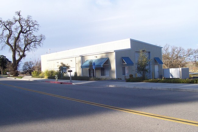
Property Record
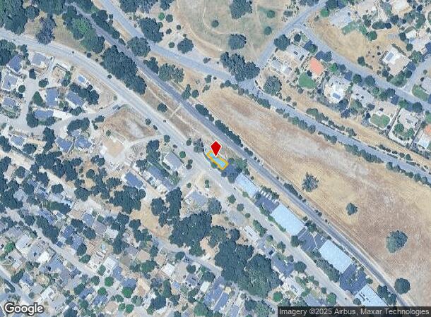
3905 Traffic Way, Atascadero, CA 93422
NEARBY LISTINGS FOR SALE OR LEASE
Property Detail
3905 Traffic Way
San Luis Obispo-Paso Robles, CA
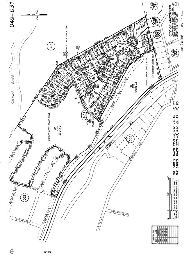
Tract 2493
049-034-017
CY ATAS TR 2493 U6 & PTN PAR 1
Multipleuses
San Luis Obispo
X
California
06079C0618G
1
2024
0.07 AC
2025
North 101 Corridor
012502
San Luis Obispo/Paso Robles
2,961 SF
DEMOGRAPHICS near 3905 Traffic Way
1 Mile
3 Mile
5 Mile
2024 Total Population
4,265
19,488
38,258
2029 Population
4,214
19,157
37,588
Pop Growth 2024-2029
(1.20%)
(1.70%)
(1.75%)
Average Age
41
42
42
2024 Total Households
1,617
7,463
14,637
HH Growth 2024-2029
(1.42%)
(1.89%)
(1.96%)
Median Household Inc
$83,493
$87,610
$90,689
Avg Household Size
2.50
2.50
2.50
2024 Avg HH Vehicles
2.00
2.00
2.00
Median Home Value
$588,989
$633,039
$673,903
Median Year Built
1977
1977
1983
Nearby Places
Map Layers
Map Styles
 Street
 Aerial
- Restaurants
- Banks
- Shops
- Fitness
- Groceries
PUBLIC TRANSPORTATION
COMMUTER RAIL
DRIVE
WALK
Distance
16 min
9.7 mi
AIRPORT
San Luis County Regional
DRIVE
WALK
Distance
San Luis County Regional
36 min
24.9 mi
Nearby Properties
Address
Land Use
TOTAL SIZE
Lot Size
Zoning
Address
Land Use
TOTAL SIZE
Lot Size
Zoning
88,191 SF
4.01 AC
CPK
Address
Land Use
TOTAL SIZE
Lot Size
Zoning
1.78 AC
CPK
Address
Land Use
TOTAL SIZE
Lot Size
Zoning
57,534 SF
6.10 AC
CR
Address
Land Use
TOTAL SIZE
Lot Size
Zoning
89,617 SF
6.97 AC
CPK
Address
Land Use
TOTAL SIZE
Lot Size
Zoning
12 AC
CPK
Address
Land Use
TOTAL SIZE
Lot Size
Zoning
49,652 SF
3.84 AC
CR
Address
Land Use
TOTAL SIZE
Lot Size
Zoning
18,800 SF
0.45 AC
DC
Address
Land Use
TOTAL SIZE
Lot Size
Zoning
39,765 SF
2.43 AC
CR
Address
Land Use
TOTAL SIZE
Lot Size
Zoning
7,114 SF
32.04 AC
AG
Address
Land Use
TOTAL SIZE
Lot Size
Zoning
14,932 SF
0.64 AC
DC
Address
Land Use
TOTAL SIZE
Lot Size
Zoning
2.94 AC
CR
Address
Land Use
TOTAL SIZE
Lot Size
Zoning
34,661 SF
1.57 AC
MF20
Address
Land Use
TOTAL SIZE
Lot Size
Zoning
0.91 AC
CP
Address
Land Use
TOTAL SIZE
Lot Size
Zoning
3.94 AC
CR
Address
Land Use
TOTAL SIZE
Lot Size
Zoning
Address
Land Use
TOTAL SIZE
Lot Size
Zoning
59,321 SF
3.92 AC
P
Address
Land Use
TOTAL SIZE
Lot Size
Zoning
151.15 AC
AG
Address
Land Use
TOTAL SIZE
Lot Size
Zoning
2.33 AC
CR
Address
Land Use
TOTAL SIZE
Lot Size
Zoning
21,814 SF
33.47 AC
CR
Address
Land Use
TOTAL SIZE
Lot Size
Zoning
1.64 AC
CR
Address
Land Use
TOTAL SIZE
Lot Size
Zoning
17,161 SF
1.38 AC
CP
Address
Land Use
TOTAL SIZE
Lot Size
Zoning
69,680 SF
5.69 AC
CR
Address
Land Use
TOTAL SIZE
Lot Size
Zoning
30,829 SF
3.27 AC
CR
Address
Land Use
TOTAL SIZE
Lot Size
Zoning
3.21 AC
CR
Address
Land Use
TOTAL SIZE
Lot Size
Zoning
15,168 SF
0.64 AC
CR
Address
Land Use
TOTAL SIZE
Lot Size
Zoning
101.53 AC
AG
Address
Land Use
TOTAL SIZE
Lot Size
Zoning
2.12 AC
CR
Address
Land Use
TOTAL SIZE
Lot Size
Zoning
5.07 AC
RS
Address
Land Use
TOTAL SIZE
Lot Size
Zoning
0.39 AC
CR
Address
Land Use
TOTAL SIZE
Lot Size
Zoning
84.21 AC
AG
The World's #1 Commercial Real Estate Marketplace
Connect with us
© 2026 CoStar Group
The information above has been obtained from sources believed reliable. While we do not doubt its accuracy we have not verified it and make no guarantee, warranty or representation about it. It is your responsibility to independently confirm its accuracy and completeness. Any projections, opinions, assumptions, or estimates used are for example only and do not represent the current or future performance of the property. The value of this transaction to you depends on tax and other factors which should be evaluated by your tax, financial, and legal advisors. You and your advisors should conduct a careful, independent investigation of the property to determine to your satisfaction the suitability of the property for your needs.