Property Record
3952 S Ridge Rd, Mckinney, TX 75070
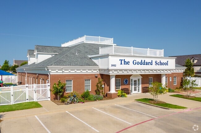


Property Detail
3952 S Ridge Rd
Dallas-Fort Worth-Arlington, TX
RIDGE AT MCKINNEY RANCH, BLK A, LOT 3
R-9760-00A-0030-1
COLLIN
Commercialnec
Texas
B and X Area of moderate flood hazard, usually the area between the limits of the 100-year and 500-year floods.
3
2025
1.47 AC
2025
McKinney
030516
Dallas/Ft Worth
10,184 SF
NEARBY LISTINGS FOR SALE OR LEASE
DEMOGRAPHICS near 3952 S Ridge Rd
1 mile
3 mile
5 mile
2025 Total Population
24,968
136,609
335,135
2030 Population
28,400
156,142
383,039
Pop Growth 2025-2030
+ 13.75%
+ 14.30%
+ 14.29%
Average Age
35
38
37
2025 Total Households
8,927
48,473
116,283
HH Growth 2025-2030
+ 14.17%
+ 14.56%
+ 14.53%
Median Household Inc
$109,426
$136,534
$136,383
Avg Household Size
2.80
2.80
2.80
2025 Avg HH Vehicles
2.00
2.00
2.00
Median Home Value
$488,386
$611,589
$589,485
Median Year Built
2010
2009
2008
Nearby Places
Map Layers
Map Styles
 Street
 Aerial
Transit
 Traffic
 Biking
Places
Listings with unknown addresses are not visible on the map
- Restaurants
- Banks
- Shops
- Fitness
- Groceries
PUBLIC TRANSPORTATION
AIRPORT
Dallas Love Field
Drive
Walk
Distance
Dallas Love Field
41 min
30.6 mi
Dallas-Fort Worth International
Drive
Walk
Distance
Dallas-Fort Worth International
38 min
31.4 mi
Nearby Properties
Address
Land Use
TOTAL SIZE
Lot Size
Zoning
Address
Land Use
TOTAL SIZE
Lot Size
Zoning
472,185 SF
63.51 AC
AO
Address
Land Use
TOTAL SIZE
Lot Size
Zoning
611,780 SF
59.06 AC
L1
Address
Land Use
TOTAL SIZE
Lot Size
Zoning
256,445 SF
10.42 AC
Address
Land Use
TOTAL SIZE
Lot Size
Zoning
162,000 SF
34 AC
L1
Address
Land Use
TOTAL SIZE
Lot Size
Zoning
387,377 SF
64.34 AC
Address
Land Use
TOTAL SIZE
Lot Size
Zoning
585,170 SF
18.69 AC
MF RG-18
Address
Land Use
TOTAL SIZE
Lot Size
Zoning
511,762 SF
28.81 AC
Address
Land Use
TOTAL SIZE
Lot Size
Zoning
495,048 SF
7.37 AC
Address
Land Use
TOTAL SIZE
Lot Size
Zoning
557,288 SF
9.18 AC
Address
Land Use
TOTAL SIZE
Lot Size
Zoning
518,353 SF
28.51 AC
MF-M
Address
Land Use
TOTAL SIZE
Lot Size
Zoning
493,621 SF
17 AC
APTS
Address
Land Use
TOTAL SIZE
Lot Size
Zoning
479,620 SF
14.02 AC
Address
Land Use
TOTAL SIZE
Lot Size
Zoning
435,382 SF
6.95 AC
MF-E
Address
Land Use
TOTAL SIZE
Lot Size
Zoning
556,741 SF
8.70 AC
MF-R
Address
Land Use
TOTAL SIZE
Lot Size
Zoning
369,702 SF
5.10 AC
Address
Land Use
TOTAL SIZE
Lot Size
Zoning
291,577 SF
69.24 AC
APTTOWNH
Address
Land Use
TOTAL SIZE
Lot Size
Zoning
483,386 SF
4.62 AC
MF-R
Address
Land Use
TOTAL SIZE
Lot Size
Zoning
464,454 SF
11.04 AC
PD
Address
Land Use
TOTAL SIZE
Lot Size
Zoning
397,395 SF
12.25 AC
Address
Land Use
TOTAL SIZE
Lot Size
Zoning
508,028 SF
14.61 AC
Address
Land Use
TOTAL SIZE
Lot Size
Zoning
199,115 SF
1.36 AC
Address
Land Use
TOTAL SIZE
Lot Size
Zoning
350,018 SF
7.02 AC
MF-E
Address
Land Use
TOTAL SIZE
Lot Size
Zoning
357,097 SF
19.68 AC
MF-M
Address
Land Use
TOTAL SIZE
Lot Size
Zoning
370,860 SF
25.48 AC
Address
Land Use
TOTAL SIZE
Lot Size
Zoning
260,340 SF
18.64 AC
RG-18
Address
Land Use
TOTAL SIZE
Lot Size
Zoning
379,701 SF
17.58 AC
MULTI-FAMI
Address
Land Use
TOTAL SIZE
Lot Size
Zoning
345,998 SF
17.81 AC
MF-M
Address
Land Use
TOTAL SIZE
Lot Size
Zoning
344,076 SF
15.49 AC
MULTI-FAMI
Address
Land Use
TOTAL SIZE
Lot Size
Zoning
337,425 SF
7.44 AC
MF-E
Address
Land Use
TOTAL SIZE
Lot Size
Zoning
442,463 SF
17.34 AC
The World's #1 Commercial Real Estate Marketplace
Connect with us
© 2026 CoStar Group
The information above has been obtained from sources believed reliable. While we do not doubt its accuracy we have not verified it and make no guarantee, warranty or representation about it. It is your responsibility to independently confirm its accuracy and completeness. Any projections, opinions, assumptions, or estimates used are for example only and do not represent the current or future performance of the property. The value of this transaction to you depends on tax and other factors which should be evaluated by your tax, financial, and legal advisors. You and your advisors should conduct a careful, independent investigation of the property to determine to your satisfaction the suitability of the property for your needs.