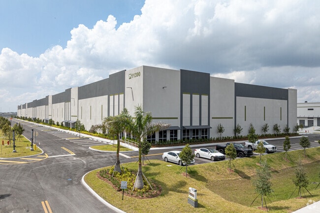
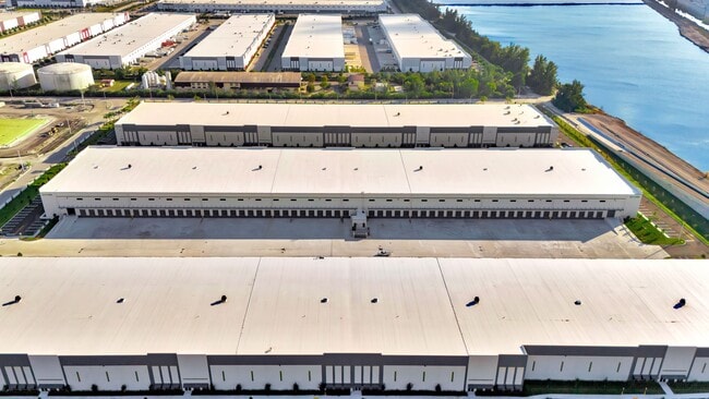
Property Record
4000 W 112Th Pl, Hialeah, FL 33018

Property Detail
4000 W 112Th Pl
04-2017-007-0010
COUNTYLINE CORPORATE PARK NORTH PB 177-007 T-24664 TR A LOT SIZE 2779062 SQ FT M/L FAU 04-2017-001-0170-0180-0181 0190-0191-0200-0201-0290-0300- 0310-0320
Commercialacreage
MIAMI/DADE
7701
Florida
2024
63.80 AC
2025
Outlying Miami-Dade
012701
South Florida
483,328 SF
Miami-Miami Beach-Kendall, FL
NEARBY LISTINGS FOR SALE OR LEASE
DEMOGRAPHICS near 4000 W 112Th Pl
1 mile
3 mile
5 mile
2025 Total Population
219
69,654
265,856
2030 Population
243
74,404
282,449
Pop Growth 2025-2030
+ 10.96%
+ 6.82%
+ 6.24%
Average Age
33
40
41
2025 Total Households
63
20,791
85,324
HH Growth 2025-2030
+ 11.11%
+ 6.62%
+ 6.13%
Median Household Inc
$132,692
$110,440
$84,636
Avg Household Size
3.40
3.30
3.00
2025 Avg HH Vehicles
2.00
2.00
2.00
Median Home Value
$633,928
$590,835
$490,055
Median Year Built
2011
1997
1991
Nearby Places
Map Layers
Map Styles
 Street
 Aerial
Layers
 Traffic
 Biking
Places
Listings with unknown addresses are not visible on the map
- Restaurants
- Banks
- Shops
- Fitness
- Groceries
PUBLIC TRANSPORTATION
COMMUTER RAIL
Palmetto (Metrorail Green Line - Miami-Dade Transit (Metrorail/Metromover))
Drive
Walk
Distance
Palmetto (Metrorail Green Line - Miami-Dade Transit (Metrorail/Metromover))
17 min
8.1 mi
Okeechobee (Metrorail Green Line - Miami-Dade Transit (Metrorail/Metromover))
Drive
Walk
Distance
Okeechobee (Metrorail Green Line - Miami-Dade Transit (Metrorail/Metromover))
19 min
9.0 mi
AIRPORT
Miami International
Drive
Walk
Distance
Miami International
28 min
13.8 mi
Fort Lauderdale/Hollywood International
Drive
Walk
Distance
Fort Lauderdale/Hollywood International
39 min
22.7 mi
Freight Ports
Port of Miami
Drive
Walk
Distance
Port of Miami
39 min
21.9 mi
SALE & LEASE HISTORY
LISTING DATE
SALE/LEASE

Jan 29, 2025
For Lease
Aug 15, 2024
For Lease
Apr 07, 2025
For Lease
Nearby Properties
Address
Land Use
TOTAL SIZE
Lot Size
Zoning
Address
Land Use
TOTAL SIZE
Lot Size
Zoning
507,170 SF
23.13 AC
7100
Address
Land Use
TOTAL SIZE
Lot Size
Zoning
572,062 SF
38.15 AC
9400
Address
Land Use
TOTAL SIZE
Lot Size
Zoning
724,587 SF
48.54 AC
7701
Address
Land Use
TOTAL SIZE
Lot Size
Zoning
526,059 SF
18.99 AC
6407
Address
Land Use
TOTAL SIZE
Lot Size
Zoning
469,837 SF
26 AC
7600
Address
Land Use
TOTAL SIZE
Lot Size
Zoning
509,271 SF
28.69 AC
7701
Address
Land Use
TOTAL SIZE
Lot Size
Zoning
399,805 SF
14.02 AC
8000
Address
Land Use
TOTAL SIZE
Lot Size
Zoning
374,816 SF
21.41 AC
7701
Address
Land Use
TOTAL SIZE
Lot Size
Zoning
359,483 SF
11.34 AC
8000
Address
Land Use
TOTAL SIZE
Lot Size
Zoning
223,543 SF
39.40 AC
6407
Address
Land Use
TOTAL SIZE
Lot Size
Zoning
307,032 SF
20.08 AC
7701
Address
Land Use
TOTAL SIZE
Lot Size
Zoning
537,862 SF
22.21 AC
7701
Address
Land Use
TOTAL SIZE
Lot Size
Zoning
333,414 SF
24.20 AC
7701
Address
Land Use
TOTAL SIZE
Lot Size
Zoning
345,413 SF
10.48 AC
9000
Address
Land Use
TOTAL SIZE
Lot Size
Zoning
298,578 SF
15.95 AC
7701
Address
Land Use
TOTAL SIZE
Lot Size
Zoning
382,421 SF
19.66 AC
3700
Address
Land Use
TOTAL SIZE
Lot Size
Zoning
672,678 SF
38.88 AC
7100
Address
Land Use
TOTAL SIZE
Lot Size
Zoning
627,014 SF
48.58 AC
7100
Address
Land Use
TOTAL SIZE
Lot Size
Zoning
400,062 SF
33.33 AC
0101
Address
Land Use
TOTAL SIZE
Lot Size
Zoning
267,601 SF
16.81 AC
7100
Address
Land Use
TOTAL SIZE
Lot Size
Zoning
235,248 SF
12.31 AC
7600
Address
Land Use
TOTAL SIZE
Lot Size
Zoning
230,147 SF
15 AC
7701
Address
Land Use
TOTAL SIZE
Lot Size
Zoning
230,169 SF
10.62 AC
7600
Address
Land Use
TOTAL SIZE
Lot Size
Zoning
320,597 SF
14.52 AC
7701
Address
Land Use
TOTAL SIZE
Lot Size
Zoning
308,699 SF
28.97 AC
7100
Address
Land Use
TOTAL SIZE
Lot Size
Zoning
214,526 SF
10.15 AC
7701
Address
Land Use
TOTAL SIZE
Lot Size
Zoning
214,526 SF
10.16 AC
7701
Address
Land Use
TOTAL SIZE
Lot Size
Zoning
208,595 SF
9.97 AC
7600
Address
Land Use
TOTAL SIZE
Lot Size
Zoning
252,331 SF
12.37 AC
7701
The World's #1 Commercial Real Estate Marketplace
Connect with us
© 2026 CoStar Group
The information above has been obtained from sources believed reliable. While we do not doubt its accuracy we have not verified it and make no guarantee, warranty or representation about it. It is your responsibility to independently confirm its accuracy and completeness. Any projections, opinions, assumptions, or estimates used are for example only and do not represent the current or future performance of the property. The value of this transaction to you depends on tax and other factors which should be evaluated by your tax, financial, and legal advisors. You and your advisors should conduct a careful, independent investigation of the property to determine to your satisfaction the suitability of the property for your needs.