Property Record
4031 Wild Chaparral Dr, Shingle Springs, CA 95682


NEARBY LISTINGS FOR SALE OR LEASE
Property Detail
4031 Wild Chaparral Dr
070-280-064-000
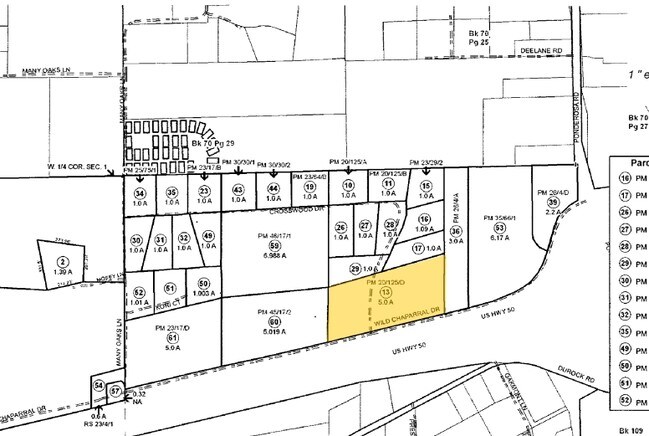
PM 49/73/3
Lightindustrial
El Dorado
X
California
06017C0750E
3 AC
2024
El Dorado
2025
Sacramento
030812
Sacramento--Roseville--Arden-Arcade, CA
18,562 SF
DEMOGRAPHICS near 4031 Wild Chaparral Dr
1 Mile
3 Mile
5 Mile
2024 Total Population
2,363
15,974
38,461
2029 Population
2,358
16,071
38,922
Pop Growth 2024-2029
(0.21%)
+ 0.61%
+ 1.20%
Average Age
46
45
44
2024 Total Households
927
6,122
14,622
HH Growth 2024-2029
(0.22%)
+ 0.57%
+ 1.11%
Median Household Inc
$89,220
$102,092
$104,686
Avg Household Size
2.50
2.50
2.60
2024 Avg HH Vehicles
2.00
2.00
2.00
Median Home Value
$734,491
$688,470
$686,625
Median Year Built
1988
1985
1987
Nearby Places
Map Layers
Map Styles
 Street
 Aerial
- Restaurants
- Banks
- Shops
- Fitness
- Groceries
PUBLIC TRANSPORTATION
AIRPORT
Sacramento International
DRIVE
WALK
Distance
Sacramento International
58 min
45.7 mi
Freight Ports
Port of Stockton
DRIVE
WALK
Distance
Port of Stockton
93 min
79.3 mi
Nearby Properties
Address
Land Use
TOTAL SIZE
Lot Size
Zoning
Address
Land Use
TOTAL SIZE
Lot Size
Zoning
31,030 SF
16.13 AC
C
Address
Land Use
TOTAL SIZE
Lot Size
Zoning
Address
Land Use
TOTAL SIZE
Lot Size
Zoning
70,498 SF
4.61 AC
CP
Address
Land Use
TOTAL SIZE
Lot Size
Zoning
Address
Land Use
TOTAL SIZE
Lot Size
Zoning
4.64 AC
CPO
Address
Land Use
TOTAL SIZE
Lot Size
Zoning
2.47 AC
AE
Address
Land Use
TOTAL SIZE
Lot Size
Zoning
4.33 AC
RE
Address
Land Use
TOTAL SIZE
Lot Size
Zoning
58,841 SF
4.14 AC
C
Address
Land Use
TOTAL SIZE
Lot Size
Zoning
7.21 AC
I
Address
Land Use
TOTAL SIZE
Lot Size
Zoning
50,930 SF
5.11 AC
I
Address
Land Use
TOTAL SIZE
Lot Size
Zoning
10,956 SF
8.56 AC
R2
Address
Land Use
TOTAL SIZE
Lot Size
Zoning
24,060 SF
1.84 AC
CP
Address
Land Use
TOTAL SIZE
Lot Size
Zoning
18.20 AC
RE10
Address
Land Use
TOTAL SIZE
Lot Size
Zoning
89,799 SF
23.59 AC
I
Address
Land Use
TOTAL SIZE
Lot Size
Zoning
6,872 SF
0.57 AC
C
Address
Land Use
TOTAL SIZE
Lot Size
Zoning
10,345 SF
1.57 AC
RE
Address
Land Use
TOTAL SIZE
Lot Size
Zoning
17,280 SF
5.64 AC
CP
Address
Land Use
TOTAL SIZE
Lot Size
Zoning
26,943 SF
5.41 AC
C
Address
Land Use
TOTAL SIZE
Lot Size
Zoning
22,364 SF
4.38 AC
R1A
Address
Land Use
TOTAL SIZE
Lot Size
Zoning
31,256 SF
3.05 AC
C
Address
Land Use
TOTAL SIZE
Lot Size
Zoning
24,880 SF
9.40 AC
R1
Address
Land Use
TOTAL SIZE
Lot Size
Zoning
16,756 SF
86.27 AC
RF
Address
Land Use
TOTAL SIZE
Lot Size
Zoning
33,841 SF
9.75 AC
R3A
Address
Land Use
TOTAL SIZE
Lot Size
Zoning
Address
Land Use
TOTAL SIZE
Lot Size
Zoning
23,774 SF
4.20 AC
CP
Address
Land Use
TOTAL SIZE
Lot Size
Zoning
27,600 SF
3.70 AC
CP
Address
Land Use
TOTAL SIZE
Lot Size
Zoning
4,320 SF
1.90 AC
AE
Address
Land Use
TOTAL SIZE
Lot Size
Zoning
6,108 SF
0.91 AC
RE
Address
Land Use
TOTAL SIZE
Lot Size
Zoning
31,332 SF
4.60 AC
CP
Address
Land Use
TOTAL SIZE
Lot Size
Zoning
4.89 AC
RE5
The World's #1 Commercial Real Estate Marketplace
Connect with us
© 2025 CoStar Group
The information above has been obtained from sources believed reliable. While we do not doubt its accuracy we have not verified it and make no guarantee, warranty or representation about it. It is your responsibility to independently confirm its accuracy and completeness. Any projections, opinions, assumptions, or estimates used are for example only and do not represent the current or future performance of the property. The value of this transaction to you depends on tax and other factors which should be evaluated by your tax, financial, and legal advisors. You and your advisors should conduct a careful, independent investigation of the property to determine to your satisfaction the suitability of the property for your needs.