Property Record
4045 E Union Hills Dr, Phoenix, AZ 85050
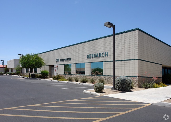

Property Detail
4045 E Union Hills Dr
215-15-184C
40TH STREET OFFICE PARK CONDOMINIUM MCR 614-16
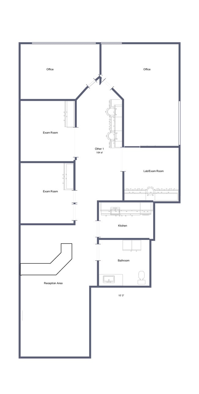
Officecondo
MARICOPA
C-N
Arizona
C and X Area of minimal flood hazard, usually depicted on FIRMs as above the 500-year flood level.
4-4
2025
0.05 AC
2025
Paradise Valley
619700
Phoenix
9,319 SF
Phoenix-Mesa-Chandler, AZ
NEARBY LISTINGS FOR SALE OR LEASE
DEMOGRAPHICS near 4045 E Union Hills Dr
1 mile
3 mile
5 mile
2025 Total Population
12,229
117,441
264,156
2030 Population
12,569
121,719
274,715
Pop Growth 2025-2030
+ 2.78%
+ 3.64%
+ 4.00%
Average Age
41
40
41
2025 Total Households
4,949
46,919
111,820
HH Growth 2025-2030
+ 2.79%
+ 3.80%
+ 4.33%
Median Household Inc
$106,437
$100,266
$96,420
Avg Household Size
2.40
2.40
2.30
2025 Avg HH Vehicles
2.00
2.00
2.00
Median Home Value
$483,996
$556,675
$558,126
Median Year Built
1992
1991
1990
Nearby Places
Map Layers
Map Styles
 Street
 Aerial
Layers
 Traffic
 Biking
Places
Listings with unknown addresses are not visible on the map
- Restaurants
- Banks
- Shops
- Fitness
- Groceries
PUBLIC TRANSPORTATION
AIRPORT
Phoenix Sky Harbor International
Drive
Walk
Distance
Phoenix Sky Harbor International
27 min
18.8 mi
Phoenix-Mesa Gateway
Drive
Walk
Distance
Phoenix-Mesa Gateway
59 min
45.0 mi
SALE & LEASE HISTORY
LISTING DATE
SALE/LEASE

Nov 05, 2025
For Sale
May 14, 2025
For Lease
Aug 05, 2017
For Sale
Apr 25, 2019
For Sale
Nearby Properties
Address
Land Use
TOTAL SIZE
Lot Size
Zoning
Address
Land Use
TOTAL SIZE
Lot Size
Zoning
1,504,047 SF
40.43 AC
I-P
Address
Land Use
TOTAL SIZE
Lot Size
Zoning
14.58 AC
Address
Land Use
TOTAL SIZE
Lot Size
Zoning
1,162,283 SF
115.23 AC
C-C
Address
Land Use
TOTAL SIZE
Lot Size
Zoning
670,926 SF
20.92 AC
I-P
Address
Land Use
TOTAL SIZE
Lot Size
Zoning
1,200,514 SF
47.28 AC
S1
Address
Land Use
TOTAL SIZE
Lot Size
Zoning
342,574 SF
85.69 AC
R-18
Address
Land Use
TOTAL SIZE
Lot Size
Zoning
336,494 SF
55.06 AC
R-43AG
Address
Land Use
TOTAL SIZE
Lot Size
Zoning
525,073 SF
8.51 AC
R4
Address
Land Use
TOTAL SIZE
Lot Size
Zoning
359,170 SF
37.47 AC
R-14
Address
Land Use
TOTAL SIZE
Lot Size
Zoning
375,257 SF
12 AC
M-H
Address
Land Use
TOTAL SIZE
Lot Size
Zoning
24,200 SF
2.15 AC
R-18
Address
Land Use
TOTAL SIZE
Lot Size
Zoning
482,581 SF
20.45 AC
C-C
Address
Land Use
TOTAL SIZE
Lot Size
Zoning
3.27 AC
C-C
Address
Land Use
TOTAL SIZE
Lot Size
Zoning
318,389 SF
37.57 AC
R-14
Address
Land Use
TOTAL SIZE
Lot Size
Zoning
338,640 SF
10.39 AC
R-4A
Address
Land Use
TOTAL SIZE
Lot Size
Zoning
373,066 SF
13 AC
M-H
Address
Land Use
TOTAL SIZE
Lot Size
Zoning
596,465 SF
66.04 AC
I-P
Address
Land Use
TOTAL SIZE
Lot Size
Zoning
167,532 SF
30 AC
R-14
Address
Land Use
TOTAL SIZE
Lot Size
Zoning
211,239 SF
12.33 AC
M-M
Address
Land Use
TOTAL SIZE
Lot Size
Zoning
96.57 AC
I-P
Address
Land Use
TOTAL SIZE
Lot Size
Zoning
5,386 SF
2.88 AC
R-130AG
Address
Land Use
TOTAL SIZE
Lot Size
Zoning
422,509 SF
18.50 AC
C-C
Address
Land Use
TOTAL SIZE
Lot Size
Zoning
105,406 SF
22.69 AC
R-18
Address
Land Use
TOTAL SIZE
Lot Size
Zoning
163,619 SF
3.66 AC
I-P
Address
Land Use
TOTAL SIZE
Lot Size
Zoning
28,805 SF
2.67 AC
C-C
Address
Land Use
TOTAL SIZE
Lot Size
Zoning
151,716 SF
19.68 AC
R-43AG
Address
Land Use
TOTAL SIZE
Lot Size
Zoning
345,339 SF
17.01 AC
M-H
Address
Land Use
TOTAL SIZE
Lot Size
Zoning
316,766 SF
13.32 AC
M-H
Address
Land Use
TOTAL SIZE
Lot Size
Zoning
127,252 SF
0.89 AC
C-C
Address
Land Use
TOTAL SIZE
Lot Size
Zoning
305,811 SF
10.44 AC
M-H
The World's #1 Commercial Real Estate Marketplace
Connect with us
© 2026 CoStar Group
The information above has been obtained from sources believed reliable. While we do not doubt its accuracy we have not verified it and make no guarantee, warranty or representation about it. It is your responsibility to independently confirm its accuracy and completeness. Any projections, opinions, assumptions, or estimates used are for example only and do not represent the current or future performance of the property. The value of this transaction to you depends on tax and other factors which should be evaluated by your tax, financial, and legal advisors. You and your advisors should conduct a careful, independent investigation of the property to determine to your satisfaction the suitability of the property for your needs.