Property Record
41675 State Highway 74, Hemet, CA 92544


Save to a Folder
{{folder.Name}}
{{folder.ListingIds.length}} Properties
{{folder.ListingIds.length}} Property
Create a New Folder
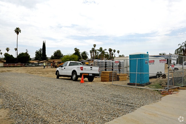
Property Detail
41675 State Highway 74
438-141-036
1.61 ACRES IN PARS 1 & 2 PM 119/040 PM 19350
Storebuilding
RIVERSIDE
CPS
California
B and X Area of moderate flood hazard, usually the area between the limits of the 100-year and 500-year floods.
1,2
2024
1.61 AC
2025
Beaumont/Hemet
043310
Inland Empire (California)
7,477 SF
Riverside-San Bernardino-Ontario, CA
NEARBY LISTINGS FOR SALE OR LEASE
DEMOGRAPHICS near 41675 State Highway 74
1 mile
3 mile
5 mile
2025 Total Population
14,386
100,070
171,369
2030 Population
14,691
102,875
176,474
Pop Growth 2025-2030
+ 2.12%
+ 2.80%
+ 2.98%
Average Age
35
37
38
2025 Total Households
4,229
31,887
55,777
HH Growth 2025-2030
+ 1.68%
+ 2.52%
+ 2.61%
Median Household Inc
$79,450
$61,820
$62,375
Avg Household Size
3.20
3.00
2.90
2025 Avg HH Vehicles
2.00
2.00
2.00
Median Home Value
$415,682
$370,949
$371,328
Median Year Built
1976
1979
1983
Nearby Places
Map Layers
Map Styles
 Street
 Aerial
Layers
 Traffic
 Biking
Places
Listings with unknown addresses are not visible on the map
- Restaurants
- Banks
- Shops
- Fitness
- Groceries
PUBLIC TRANSPORTATION
AIRPORT
Palm Springs International
Drive
Walk
Distance
Palm Springs International
61 min
48.7 mi
Freight Ports
Port of Long Beach
Drive
Walk
Distance
Port of Long Beach
121 min
90.5 mi
Nearby Properties
Address
Land Use
TOTAL SIZE
Lot Size
Zoning
Address
Land Use
TOTAL SIZE
Lot Size
Zoning
5.96 AC
Address
Land Use
TOTAL SIZE
Lot Size
Zoning
63,960 SF
8.57 AC
R3
Address
Land Use
TOTAL SIZE
Lot Size
Zoning
193,123 SF
19.92 AC
Address
Land Use
TOTAL SIZE
Lot Size
Zoning
9,184 SF
4.75 AC
R3
Address
Land Use
TOTAL SIZE
Lot Size
Zoning
27,964 SF
5.47 AC
Address
Land Use
TOTAL SIZE
Lot Size
Zoning
40,880 SF
6 AC
R3
Address
Land Use
TOTAL SIZE
Lot Size
Zoning
66,482 SF
9.11 AC
A1
Address
Land Use
TOTAL SIZE
Lot Size
Zoning
122,037 SF
5.52 AC
Address
Land Use
TOTAL SIZE
Lot Size
Zoning
28,145 SF
4.67 AC
R3
Address
Land Use
TOTAL SIZE
Lot Size
Zoning
70,045 SF
4.23 AC
Address
Land Use
TOTAL SIZE
Lot Size
Zoning
72,308 SF
4.66 AC
M1
Address
Land Use
TOTAL SIZE
Lot Size
Zoning
79,683 SF
7.97 AC
C1
Address
Land Use
TOTAL SIZE
Lot Size
Zoning
202,852 SF
11.37 AC
Address
Land Use
TOTAL SIZE
Lot Size
Zoning
66,913 SF
6.41 AC
Address
Land Use
TOTAL SIZE
Lot Size
Zoning
107,874 SF
7.36 AC
Address
Land Use
TOTAL SIZE
Lot Size
Zoning
60,472 SF
2.22 AC
A15
Address
Land Use
TOTAL SIZE
Lot Size
Zoning
11,940 SF
1.12 AC
C1
Address
Land Use
TOTAL SIZE
Lot Size
Zoning
12,389 SF
7.31 AC
R3
Address
Land Use
TOTAL SIZE
Lot Size
Zoning
67,146 SF
13.97 AC
Address
Land Use
TOTAL SIZE
Lot Size
Zoning
3,468 SF
3.49 AC
R2
Address
Land Use
TOTAL SIZE
Lot Size
Zoning
80,259 SF
4.67 AC
R3
Address
Land Use
TOTAL SIZE
Lot Size
Zoning
37,036 SF
5.65 AC
Address
Land Use
TOTAL SIZE
Lot Size
Zoning
18,467 SF
5.04 AC
PCD
Address
Land Use
TOTAL SIZE
Lot Size
Zoning
17,340 SF
1.54 AC
Address
Land Use
TOTAL SIZE
Lot Size
Zoning
38,601 SF
2.53 AC
Address
Land Use
TOTAL SIZE
Lot Size
Zoning
134,250 SF
4.74 AC
M1
Address
Land Use
TOTAL SIZE
Lot Size
Zoning
11,739 SF
4.33 AC
R3
Address
Land Use
TOTAL SIZE
Lot Size
Zoning
37,325 SF
4.03 AC
M1
Address
Land Use
TOTAL SIZE
Lot Size
Zoning
44,132 SF
2.04 AC
Address
Land Use
TOTAL SIZE
Lot Size
Zoning
40,639 SF
2.18 AC
The World's #1 Commercial Real Estate Marketplace
Connect with us
© 2026 CoStar Group
The information above has been obtained from sources believed reliable. While we do not doubt its accuracy we have not verified it and make no guarantee, warranty or representation about it. It is your responsibility to independently confirm its accuracy and completeness. Any projections, opinions, assumptions, or estimates used are for example only and do not represent the current or future performance of the property. The value of this transaction to you depends on tax and other factors which should be evaluated by your tax, financial, and legal advisors. You and your advisors should conduct a careful, independent investigation of the property to determine to your satisfaction the suitability of the property for your needs.