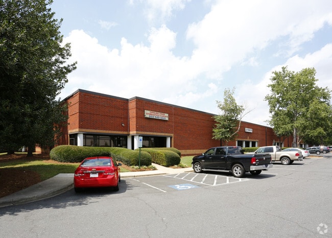
Property Record
4215 Pleasant Rd, Fort Mill, SC 29708

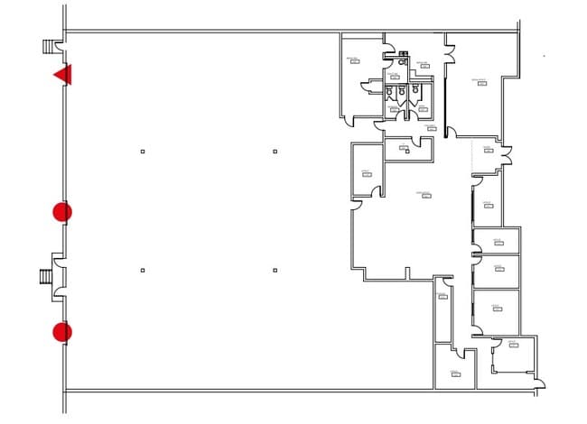

Current Lease Availabilities
Property Detail
4215 Pleasant Rd
7220000006
(7.204AC), LESS 0.24AC PLEASANT RD
Commercialnec
YORK
ID
South Carolina
B and X Area of moderate flood hazard, usually the area between the limits of the 100-year and 500-year floods.
6.96 AC
2025
York County
2025
Charlotte
061006
Charlotte-Concord-Gastonia, NC-SC
100,130 SF
NEARBY LISTINGS FOR SALE OR LEASE
DEMOGRAPHICS near 4215 Pleasant Rd
1 mile
3 mile
5 mile
2024 Total Population
1,134
53,366
164,513
2029 Population
1,218
57,782
178,040
Pop Growth 2024-2029
+ 7.41%
+ 8.27%
+ 8.22%
Average Age
40
38
37
2024 Total Households
461
21,412
64,418
HH Growth 2024-2029
+ 7.38%
+ 8.39%
+ 8.28%
Median Household Inc
$116,458
$92,968
$89,742
Avg Household Size
2.50
2.40
2.50
2024 Avg HH Vehicles
2.00
2.00
2.00
Median Home Value
$456,849
$425,922
$427,128
Median Year Built
2001
2005
2003
Nearby Places
Map Layers
Map Styles
 Street
 Aerial
Transit
 Traffic
 Biking
Places
Listings with unknown addresses are not visible on the map
- Restaurants
- Banks
- Shops
- Fitness
- Groceries
PUBLIC TRANSPORTATION
AIRPORT
Charlotte/Douglas International
Drive
Walk
Distance
Charlotte/Douglas International
21 min
10.0 mi
Concord-Padgett Regional
Drive
Walk
Distance
Concord-Padgett Regional
42 min
28.5 mi
Nearby Properties
Address
Land Use
TOTAL SIZE
Lot Size
Zoning
Address
Land Use
TOTAL SIZE
Lot Size
Zoning
432,123 SF
36.75 AC
R17MFCD
Address
Land Use
TOTAL SIZE
Lot Size
Zoning
395,382 SF
9.84 AC
MUDDO
Address
Land Use
TOTAL SIZE
Lot Size
Zoning
1,007,888 SF
55.04 AC
G-I
Address
Land Use
TOTAL SIZE
Lot Size
Zoning
283,424 SF
24.95 AC
R17MFCD
Address
Land Use
TOTAL SIZE
Lot Size
Zoning
369,622 SF
26.29 AC
R17MFCD
Address
Land Use
TOTAL SIZE
Lot Size
Zoning
252,275 SF
20.23 AC
Address
Land Use
TOTAL SIZE
Lot Size
Zoning
280,293 SF
25.47 AC
R3
Address
Land Use
TOTAL SIZE
Lot Size
Zoning
250,307 SF
15.53 AC
R17MFCD
Address
Land Use
TOTAL SIZE
Lot Size
Zoning
1,396,936 SF
68.78 AC
I2
Address
Land Use
TOTAL SIZE
Lot Size
Zoning
899,731 SF
73.49 AC
Address
Land Use
TOTAL SIZE
Lot Size
Zoning
136,576 SF
4.75 AC
Address
Land Use
TOTAL SIZE
Lot Size
Zoning
857,532 SF
73.57 AC
I1
Address
Land Use
TOTAL SIZE
Lot Size
Zoning
218,322 SF
15.93 AC
R17MFCD
Address
Land Use
TOTAL SIZE
Lot Size
Zoning
269,639 SF
15.32 AC
R17MFCD
Address
Land Use
TOTAL SIZE
Lot Size
Zoning
275,215 SF
12.35 AC
R17MFCD
Address
Land Use
TOTAL SIZE
Lot Size
Zoning
245,573 SF
23.62 AC
R12MFCD
Address
Land Use
TOTAL SIZE
Lot Size
Zoning
213,739 SF
9.79 AC
MUDDO
Address
Land Use
TOTAL SIZE
Lot Size
Zoning
220,232 SF
15.45 AC
R15MFCD
Address
Land Use
TOTAL SIZE
Lot Size
Zoning
873,356 SF
52.31 AC
I2
Address
Land Use
TOTAL SIZE
Lot Size
Zoning
151,844 SF
11.65 AC
Address
Land Use
TOTAL SIZE
Lot Size
Zoning
182,235 SF
18.29 AC
R17MF
Address
Land Use
TOTAL SIZE
Lot Size
Zoning
198,432 SF
16.97 AC
R17MFCD
Address
Land Use
TOTAL SIZE
Lot Size
Zoning
124,458 SF
17.15 AC
CC
Address
Land Use
TOTAL SIZE
Lot Size
Zoning
154,416 SF
2.42 AC
Address
Land Use
TOTAL SIZE
Lot Size
Zoning
559,210 SF
45.69 AC
I1
Address
Land Use
TOTAL SIZE
Lot Size
Zoning
169,440 SF
8.08 AC
MUDDO
Address
Land Use
TOTAL SIZE
Lot Size
Zoning
363,238 SF
153.46 AC
Address
Land Use
TOTAL SIZE
Lot Size
Zoning
523,480 SF
45.04 AC
G-I
Address
Land Use
TOTAL SIZE
Lot Size
Zoning
Address
Land Use
TOTAL SIZE
Lot Size
Zoning
403,200 SF
56.47 AC
The World's #1 Commercial Real Estate Marketplace
Connect with us
© 2026 CoStar Group
The information above has been obtained from sources believed reliable. While we do not doubt its accuracy we have not verified it and make no guarantee, warranty or representation about it. It is your responsibility to independently confirm its accuracy and completeness. Any projections, opinions, assumptions, or estimates used are for example only and do not represent the current or future performance of the property. The value of this transaction to you depends on tax and other factors which should be evaluated by your tax, financial, and legal advisors. You and your advisors should conduct a careful, independent investigation of the property to determine to your satisfaction the suitability of the property for your needs.