Property Record
4315 Atlanta Hwy, Montgomery, AL 36109

NEARBY LISTINGS FOR SALE OR LEASE
Property Detail
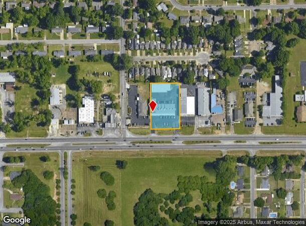
4315 Atlanta Hwy
Montgomery, AL
Haigler 4
10-01-11-2-011-007.003
1001112011007003
Stripcommercialcenter
Montgomery
X
Alabama
01051C0465F
a
2025
1.31 AC
2025
North Montgomery
002600
Montgomery
12,659 SF
DEMOGRAPHICS near 4315 Atlanta Hwy
1 Mile
3 Mile
5 Mile
2024 Total Population
6,592
56,360
134,171
2029 Population
6,318
54,519
130,702
Pop Growth 2024-2029
(4.16%)
(3.27%)
(2.59%)
Average Age
44
38
38
2024 Total Households
2,883
24,363
56,371
HH Growth 2024-2029
(4.30%)
(3.34%)
(2.65%)
Median Household Inc
$57,142
$50,163
$49,328
Avg Household Size
2.20
2.20
2.20
2024 Avg HH Vehicles
2.00
2.00
2.00
Median Home Value
$151,849
$141,441
$146,879
Median Year Built
1976
1976
1977
Nearby Places
Map Layers
Map Styles
 Street
 Aerial
- Restaurants
- Banks
- Shops
- Fitness
- Groceries
PUBLIC TRANSPORTATION
AIRPORT
Montgomery Regional (Dannelly Field)
DRIVE
WALK
Distance
Montgomery Regional (Dannelly Field)
21 min
14.9 mi
Freight Ports
Port of Panama City
DRIVE
WALK
Distance
Port of Panama City
238 min
187.7 mi
SALE & LEASE HISTORY
LISTING DATE
SALE/LEASE

Dec 10, 2021
For Lease
Nearby Properties
Address
Land Use
TOTAL SIZE
Lot Size
Zoning
Address
Land Use
TOTAL SIZE
Lot Size
Zoning
4,836 SF
16.25 AC
R-75-M
Address
Land Use
TOTAL SIZE
Lot Size
Zoning
15,932 SF
25.50 AC
R-60-M
Address
Land Use
TOTAL SIZE
Lot Size
Zoning
385,644 SF
26.60 AC
B-2
Address
Land Use
TOTAL SIZE
Lot Size
Zoning
1,554 SF
18.26 AC
R-75-M
Address
Land Use
TOTAL SIZE
Lot Size
Zoning
31,205 SF
59 AC
INST
Address
Land Use
TOTAL SIZE
Lot Size
Zoning
2,885 SF
14 AC
R-75-M
Address
Land Use
TOTAL SIZE
Lot Size
Zoning
7,040 SF
11.70 AC
R-65-M
Address
Land Use
TOTAL SIZE
Lot Size
Zoning
216,654 SF
26.49 AC
B-2
Address
Land Use
TOTAL SIZE
Lot Size
Zoning
24,360 SF
26.59 AC
R-65-M
Address
Land Use
TOTAL SIZE
Lot Size
Zoning
224,132 SF
26.57 AC
AGR-2
Address
Land Use
TOTAL SIZE
Lot Size
Zoning
1,964 SF
13.40 AC
R-75-M
Address
Land Use
TOTAL SIZE
Lot Size
Zoning
8,519 SF
15.60 AC
B-2
Address
Land Use
TOTAL SIZE
Lot Size
Zoning
5,606 SF
21 AC
R-75-M
Address
Land Use
TOTAL SIZE
Lot Size
Zoning
591,904 SF
26 AC
M-1
Address
Land Use
TOTAL SIZE
Lot Size
Zoning
122,119 SF
21 AC
R-75-S
Address
Land Use
TOTAL SIZE
Lot Size
Zoning
108,176 SF
4.27 AC
B-1-B
Address
Land Use
TOTAL SIZE
Lot Size
Zoning
154,375 SF
21.19 AC
B-3
Address
Land Use
TOTAL SIZE
Lot Size
Zoning
75,510 SF
10.97 AC
B-2
Address
Land Use
TOTAL SIZE
Lot Size
Zoning
2,679 SF
10.77 AC
R-75-M
Address
Land Use
TOTAL SIZE
Lot Size
Zoning
84,764 SF
5.20 AC
B-2
Address
Land Use
TOTAL SIZE
Lot Size
Zoning
65,394 SF
13 AC
B-2
Address
Land Use
TOTAL SIZE
Lot Size
Zoning
105,816 SF
4.34 AC
B-2
Address
Land Use
TOTAL SIZE
Lot Size
Zoning
96,168 SF
95.16 AC
INST
Address
Land Use
TOTAL SIZE
Lot Size
Zoning
1,721 SF
12.02 AC
R-60-M
Address
Land Use
TOTAL SIZE
Lot Size
Zoning
8,697 SF
21.84 AC
R-20-T
Address
Land Use
TOTAL SIZE
Lot Size
Zoning
94,781 SF
4.43 AC
B-2
Address
Land Use
TOTAL SIZE
Lot Size
Zoning
38,718 SF
13.72 AC
B-3
Address
Land Use
TOTAL SIZE
Lot Size
Zoning
30,386 SF
10.12 AC
B-2
Address
Land Use
TOTAL SIZE
Lot Size
Zoning
1,904 SF
13 AC
R-75-S
Address
Land Use
TOTAL SIZE
Lot Size
Zoning
2,397 SF
4.35 AC
R-75-M
The World's #1 Commercial Real Estate Marketplace
Connect with us
© 2025 CoStar Group
The information above has been obtained from sources believed reliable. While we do not doubt its accuracy we have not verified it and make no guarantee, warranty or representation about it. It is your responsibility to independently confirm its accuracy and completeness. Any projections, opinions, assumptions, or estimates used are for example only and do not represent the current or future performance of the property. The value of this transaction to you depends on tax and other factors which should be evaluated by your tax, financial, and legal advisors. You and your advisors should conduct a careful, independent investigation of the property to determine to your satisfaction the suitability of the property for your needs.