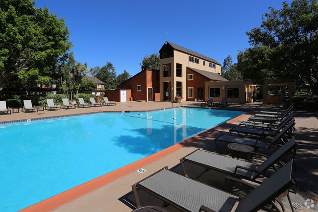
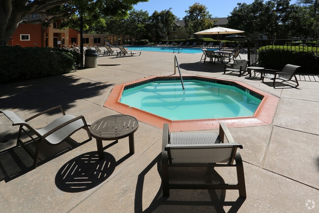
Property Record
440 E H St, Chula Vista, CA 91910
Property Detail
440 E H St
San Diego-Chula Vista-Carlsbad, CA
LOT 332 DOC84-314314 IN TR 10051
592-192-22
San Diego
Multifamilydwelling
California
PC
332
C and X Area of minimal flood hazard, usually depicted on FIRMs as above the 500-year flood level.
9.44 AC
2025
Terra Nova
2025
San Diego
013409
NEARBY LISTINGS FOR SALE OR LEASE
DEMOGRAPHICS near 440 E H St
1 mile
3 mile
5 mile
2025 Total Population
15,078
188,762
455,468
2030 Population
14,934
188,331
455,346
Pop Growth 2025-2030
(0.96%)
(0.23%)
(0.03%)
Average Age
41
40
39
2025 Total Households
4,725
58,379
135,444
HH Growth 2025-2030
(1.38%)
(0.38%)
(0.18%)
Median Household Inc
$121,186
$93,465
$94,706
Avg Household Size
3.10
3.10
3.20
2025 Avg HH Vehicles
2.00
2.00
2.00
Median Home Value
$762,907
$737,797
$720,810
Median Year Built
1974
1972
1977
Nearby Places
Map Layers
Map Styles
 Street
 Aerial
Layers
 Traffic
 Biking
Places
Listings with unknown addresses are not visible on the map
- Restaurants
- Banks
- Shops
- Fitness
- Groceries
PUBLIC TRANSPORTATION
AIRPORT
San Diego International
Drive
Walk
Distance
San Diego International
20 min
13.8 mi
Freight Ports
Port of San Diego
Drive
Walk
Distance
Port of San Diego
16 min
9.5 mi
Nearby Properties
Address
Land Use
TOTAL SIZE
Lot Size
Zoning
Address
Land Use
TOTAL SIZE
Lot Size
Zoning
16.49 AC
COP
Address
Land Use
TOTAL SIZE
Lot Size
Zoning
6.55 AC
MXD-2
Address
Land Use
TOTAL SIZE
Lot Size
Zoning
14.59 AC
PC9RC
Address
Land Use
TOTAL SIZE
Lot Size
Zoning
24.70 AC
C-6
Address
Land Use
TOTAL SIZE
Lot Size
Zoning
67,372 SF
4.67 AC
PC10C/RM2/
Address
Land Use
TOTAL SIZE
Lot Size
Zoning
25.35 AC
UC-7
Address
Land Use
TOTAL SIZE
Lot Size
Zoning
8.79 AC
R3
Address
Land Use
TOTAL SIZE
Lot Size
Zoning
6.94 AC
PC10RM2
Address
Land Use
TOTAL SIZE
Lot Size
Zoning
15 AC
UC-14
Address
Land Use
TOTAL SIZE
Lot Size
Zoning
9.84 AC
C
Address
Land Use
TOTAL SIZE
Lot Size
Zoning
24.06 AC
R3
Address
Land Use
TOTAL SIZE
Lot Size
Zoning
97,298 SF
10 AC
COP
Address
Land Use
TOTAL SIZE
Lot Size
Zoning
8.96 AC
UC-4
Address
Land Use
TOTAL SIZE
Lot Size
Zoning
6.03 AC
R3
Address
Land Use
TOTAL SIZE
Lot Size
Zoning
6.32 AC
PC10RM2
Address
Land Use
TOTAL SIZE
Lot Size
Zoning
34,200 SF
1.38 AC
CCPD-R
Address
Land Use
TOTAL SIZE
Lot Size
Zoning
6.85 AC
IL
Address
Land Use
TOTAL SIZE
Lot Size
Zoning
4.70 AC
R3
Address
Land Use
TOTAL SIZE
Lot Size
Zoning
8.42 AC
PC2RC
Address
Land Use
TOTAL SIZE
Lot Size
Zoning
7.96 AC
PC9RM
Address
Land Use
TOTAL SIZE
Lot Size
Zoning
4.80 AC
MXD-2
Address
Land Use
TOTAL SIZE
Lot Size
Zoning
1.05 AC
C-1
Address
Land Use
TOTAL SIZE
Lot Size
Zoning
5.91 AC
PC2RC
Address
Land Use
TOTAL SIZE
Lot Size
Zoning
1.43 AC
UC-2
Address
Land Use
TOTAL SIZE
Lot Size
Zoning
1.88 AC
UC-2
Address
Land Use
TOTAL SIZE
Lot Size
Zoning
2.24 AC
MXD-2
Address
Land Use
TOTAL SIZE
Lot Size
Zoning
5.49 AC
PC10C/RM2/
Address
Land Use
TOTAL SIZE
Lot Size
Zoning
46,876 SF
4.82 AC
CCD
Address
Land Use
TOTAL SIZE
Lot Size
Zoning
1.43 AC
UC-2
The World's #1 Commercial Real Estate Marketplace
Connect with us
© 2026 CoStar Group
The information above has been obtained from sources believed reliable. While we do not doubt its accuracy we have not verified it and make no guarantee, warranty or representation about it. It is your responsibility to independently confirm its accuracy and completeness. Any projections, opinions, assumptions, or estimates used are for example only and do not represent the current or future performance of the property. The value of this transaction to you depends on tax and other factors which should be evaluated by your tax, financial, and legal advisors. You and your advisors should conduct a careful, independent investigation of the property to determine to your satisfaction the suitability of the property for your needs.