Property Record
45005 Cypress Pkwy, Punta Gorda, FL 33982

Current Lease Availabilities
General Retail LEASE
Negotiable
1,110 - 10,400 SF
NEARBY LISTINGS FOR SALE OR LEASE
-
-
B Street Babcock Ranch Dr @ Curry Preserve Drive
Punta Gorda, FL 33982
Negotiable
1,200 - 23,000 SF
Retail
-
View all Punta Gorda listings for lease on LoopNet.com
Property Detail
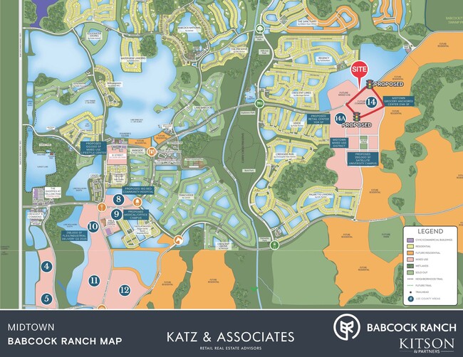
45005 Cypress Pkwy
Punta Gorda, FL
Midtown At Babcock Ranch
422627100001
BABCOCK RANCH COMMUNITY CYPRESS PARKWAY TRACT E-20 14.22 AC M/L FUTURE DEVELOPMENT E3397196 LESS THOSE PORTIONS DESCRIBED IN 3406199 CONTAINING 12AC M/L LESS THE 10.54AC M/L PORTION DESCRIBED IN 3413153
Agriculturalland
Charlotte
AE
Florida
12015C0500G
23.35 AC
2024
Charlotte County
2025
Southwest Florida
010200
DEMOGRAPHICS near 45005 Cypress Pkwy
1 Mile
3 Mile
5 Mile
2024 Total Population
1,380
8,149
10,693
2029 Population
1,652
9,751
12,529
Pop Growth 2024-2029
+ 19.71%
+ 19.66%
+ 17.17%
Average Age
47
47
46
2024 Total Households
560
3,307
4,288
HH Growth 2024-2029
+ 19.64%
+ 19.63%
+ 17.09%
Median Household Inc
$123,591
$123,362
$116,014
Avg Household Size
2.40
2.40
2.40
2024 Avg HH Vehicles
2.00
2.00
2.00
Median Home Value
$503,086
$503,830
$527,730
Median Year Built
2011
2011
2010
Nearby Places
Map Layers
Map Styles
 Street
 Aerial
- Restaurants
- Banks
- Shops
- Fitness
- Groceries
PUBLIC TRANSPORTATION
AIRPORT
Southwest Florida International
DRIVE
WALK
Distance
Southwest Florida International
41 min
23.8 mi
Punta Gorda
DRIVE
WALK
Distance
Punta Gorda
45 min
29.2 mi
Freight Ports
Port Manatee
DRIVE
WALK
Distance
Port Manatee
125 min
100.9 mi
Nearby Properties
Address
Land Use
TOTAL SIZE
Lot Size
Zoning
Address
Land Use
TOTAL SIZE
Lot Size
Zoning
367,053 SF
17 AC
BOZD
Address
Land Use
TOTAL SIZE
Lot Size
Zoning
309.30 AC
MPD
Address
Land Use
TOTAL SIZE
Lot Size
Zoning
74,698 SF
8.33 AC
BOZD
Address
Land Use
TOTAL SIZE
Lot Size
Zoning
40,490 SF
1.95 AC
BOZD
Address
Land Use
TOTAL SIZE
Lot Size
Zoning
10,304 SF
141.77 AC
BOZD
Address
Land Use
TOTAL SIZE
Lot Size
Zoning
18,224 SF
3.56 AC
BOZD
Address
Land Use
TOTAL SIZE
Lot Size
Zoning
256.34 AC
BOZD
Address
Land Use
TOTAL SIZE
Lot Size
Zoning
11,223 SF
1.15 AC
BOZD
Address
Land Use
TOTAL SIZE
Lot Size
Zoning
122.38 AC
BOZD
Address
Land Use
TOTAL SIZE
Lot Size
Zoning
116,525 SF
10 AC
BOZD
Address
Land Use
TOTAL SIZE
Lot Size
Zoning
6,030 SF
0.24 AC
BOZD
Address
Land Use
TOTAL SIZE
Lot Size
Zoning
702 SF
6.42 AC
BOZD
Address
Land Use
TOTAL SIZE
Lot Size
Zoning
5,547 SF
0.30 AC
BOZD
Address
Land Use
TOTAL SIZE
Lot Size
Zoning
6,936 SF
154.71 AC
BOZD
Address
Land Use
TOTAL SIZE
Lot Size
Zoning
12,524 SF
33.01 AC
BOZD
Address
Land Use
TOTAL SIZE
Lot Size
Zoning
61.85 AC
BOZD
Address
Land Use
TOTAL SIZE
Lot Size
Zoning
1.98 AC
BOZD
Address
Land Use
TOTAL SIZE
Lot Size
Zoning
5,054 SF
0.23 AC
BOZD
Address
Land Use
TOTAL SIZE
Lot Size
Zoning
310.54 AC
AG-2
Address
Land Use
TOTAL SIZE
Lot Size
Zoning
1,440 SF
18.76 AC
BOZD
Address
Land Use
TOTAL SIZE
Lot Size
Zoning
3.63 AC
BOZD
Address
Land Use
TOTAL SIZE
Lot Size
Zoning
59.77 AC
BOZD
Address
Land Use
TOTAL SIZE
Lot Size
Zoning
3.48 AC
BOZD
Address
Land Use
TOTAL SIZE
Lot Size
Zoning
2.22 AC
BOZD
Address
Land Use
TOTAL SIZE
Lot Size
Zoning
4,160 SF
22.46 AC
BOZD
Address
Land Use
TOTAL SIZE
Lot Size
Zoning
58.55 AC
BOZD
Address
Land Use
TOTAL SIZE
Lot Size
Zoning
58 AC
BOZD
Address
Land Use
TOTAL SIZE
Lot Size
Zoning
1.13 AC
MPD
Address
Land Use
TOTAL SIZE
Lot Size
Zoning
3.33 AC
BOZD
Address
Land Use
TOTAL SIZE
Lot Size
Zoning
4,044 SF
0.35 AC
BOZD
The World's #1 Commercial Real Estate Marketplace
Connect with us
© 2026 CoStar Group
The information above has been obtained from sources believed reliable. While we do not doubt its accuracy we have not verified it and make no guarantee, warranty or representation about it. It is your responsibility to independently confirm its accuracy and completeness. Any projections, opinions, assumptions, or estimates used are for example only and do not represent the current or future performance of the property. The value of this transaction to you depends on tax and other factors which should be evaluated by your tax, financial, and legal advisors. You and your advisors should conduct a careful, independent investigation of the property to determine to your satisfaction the suitability of the property for your needs.